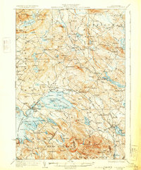
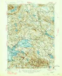
1928 Map of Wolfeboro
USGS Topo · Published 1931About this map
Lake Wentworth and the eastern shores of Wolfeboro Bay anchor this 1920s landscape, illustrating a region defined by its deep glacial basins and the early 20th-century transportation corridors of the Boston and Maine RR. The map captures Wolfeboro at a period of established local prominence, showing the campus of Brewster Academy and the village's rail connections at Wolfeboro Falls. To the east, the rural character of Wakefield and Sanbornville is detailed with numerous small schoolhouses like the Champion School and Piper School, which served the scattered agricultural and milling hamlets of the era.
Find a feature on this map
145 named features on this map. Tap any name to fly to it.
Don’t see what you’re looking for? This feature index may not catch every label — zoom into the map to look around manually.
Map Details
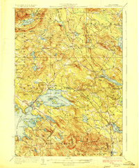
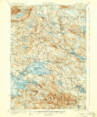
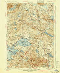
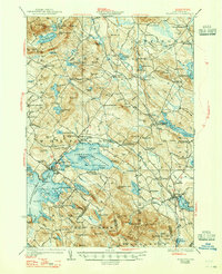
Editions of this 1928 Wolfeboro Map
7 editions found

Other maps of this area

1891 · Berwick
USGS Topo · 1:62,500

1891 · Newfield
USGS Topo · 1:62,500

1893 · Berwick
USGS Topo · 1:62,500

1893 · Newfield
USGS Topo · 1:62,500

1909 · Winnepesaukee
USGS Topo · 1:62,500

1910 · Kezar Falls
USGS Topo · 1:48,000

1911 · Kezar Falls
USGS Topo · 1:62,500

1919 · Gilmanton
USGS Topo · 1:62,500

1919 · Alton
USGS Topo · 1:62,500

1927 · Gilmanton
USGS Topo · 1:62,500