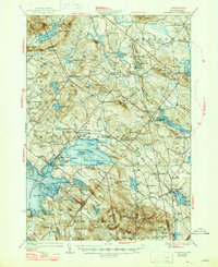
1928 Map of Wolfeboro
USGS Topo · Published 1947About this map
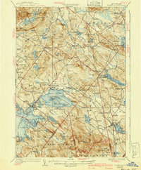
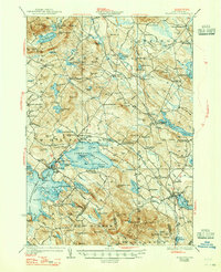
Lake Wentworth and the eastern shores of Winnipesaukee Lake dominate this New Hampshire landscape, captured during a period of established lakeside settlement and rail-dependent commerce. The Boston and Maine Railroad serves as a critical corridor through the region, connecting towns like Sanbornville and Wakefield while passing through specialized stops such as East Wolfeboro Cotton Valley Sta. The map reveals a dense network of rural infrastructure, from the lakeside campus of Brewster Academy to numerous district schools like Garland Brown School and Hackett School. Interior terrain is defined by the Ossipee Mts and prominent ridges including Browns Ridge and Ballards Ridge. Water-level details are particularly rich, naming specific landforms like Stamp Act I and Jockey Cap I within Lake Wentworth, reflecting the era's focus on surveying both natural resources and growing recreational geography.
Find a feature on this map
138 named features on this map. Tap any name to fly to it.
Don’t see what you’re looking for? This feature index may not catch every label — zoom into the map to look around manually.
Map Details
Editions of this 1928 Wolfeboro Map
7 editions found

Other maps of this area

1891 · Berwick
USGS Topo · 1:62,500

1891 · Newfield
USGS Topo · 1:62,500

1893 · Berwick
USGS Topo · 1:62,500

1893 · Newfield
USGS Topo · 1:62,500

1909 · Winnepesaukee
USGS Topo · 1:62,500

1910 · Kezar Falls
USGS Topo · 1:48,000

1911 · Kezar Falls
USGS Topo · 1:62,500

1919 · Gilmanton
USGS Topo · 1:62,500

1919 · Alton
USGS Topo · 1:62,500

1927 · Gilmanton
USGS Topo · 1:62,500