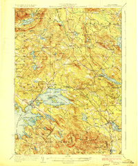
1928 Map of Wolfeboro
USGS Topo · Published 1928About this map
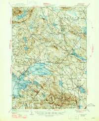
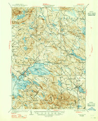
The Lakes Region of New Hampshire, centered on the thriving hub of Wolfeboro, is captured here in the late 1920s. The landscape is defined by the expansive waters of Winnipesaukee Lake and Lake Wentworth, where the Boston and Maine RR traces the shoreline, serving stations like Cotton Valley Sta and Burleyville Sta. This era shows a well-established social fabric, evidenced by numerous rural education sites such as Duncan Lake School and Churchill School, alongside the prominent Brewster Academy near the town center. The map reveals the intricate network of villages like Wolfeboro Falls, Sanbornville, and Water Village, each connected by the early State Highway system. Beyond the developed lakefronts, the terrain rises into the Ossipee Mts and Browns Ridge, illustrating the era's balance between a seasonal lake-centered economy and the traditional upland settlements of Carroll County.
Find a feature on this map
115 named features on this map. Tap any name to fly to it.
Don’t see what you’re looking for? This feature index may not catch every label — zoom into the map to look around manually.
Map Details
Editions of this 1928 Wolfeboro Map
7 editions found

Other maps of this area

1891 · Berwick
USGS Topo · 1:62,500

1891 · Newfield
USGS Topo · 1:62,500

1893 · Berwick
USGS Topo · 1:62,500

1893 · Newfield
USGS Topo · 1:62,500

1909 · Winnepesaukee
USGS Topo · 1:62,500

1910 · Kezar Falls
USGS Topo · 1:48,000

1911 · Kezar Falls
USGS Topo · 1:62,500

1919 · Gilmanton
USGS Topo · 1:62,500

1919 · Alton
USGS Topo · 1:62,500

1927 · Gilmanton
USGS Topo · 1:62,500