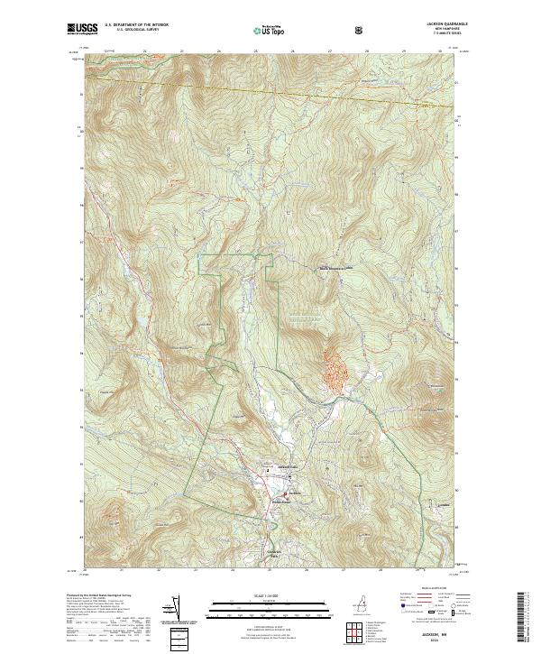
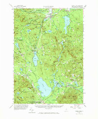
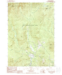
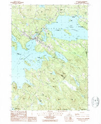
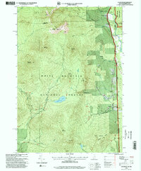
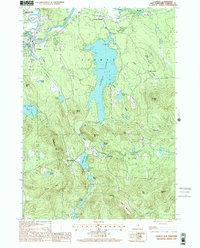
2024 Map of Jackson
USGS Topo · Published 2024About this map
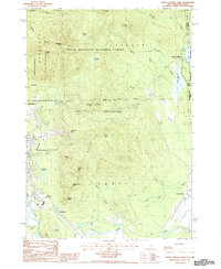
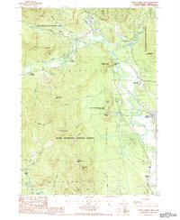
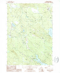
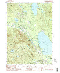
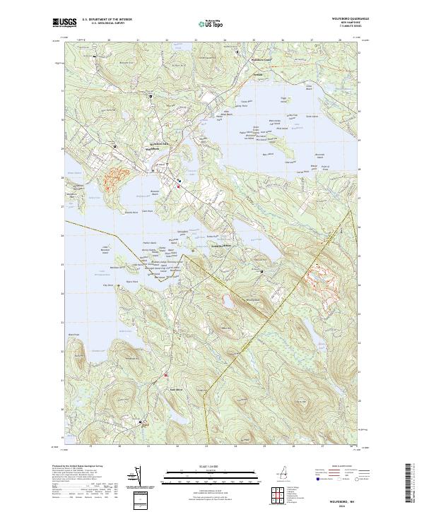
Jackson sits at the heart of the Mount Washington Valley, where the Ellis River and Wildcat Brook converge amidst some of the state's most prominent peaks. The settlement pattern here follows the valley floor, concentrated around Jackson Falls and extending south toward Goodrich Falls. To the east and west, the landscape rises sharply into the White Mountain National Forest, containing a dense network of recreational routes such as the Appalachian National Scenic Trail and the Black Mountain Ski Trail.
Find a feature on this map
85 named features on this map. Tap any name to fly to it.
Don’t see what you’re looking for? This feature index may not catch every label — zoom into the map to look around manually.
Map Details
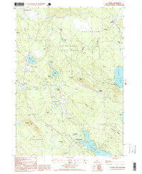
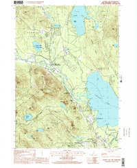
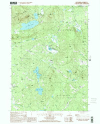
Editions of this 2024 Jackson Map
This is the sole edition of this map. No revisions or reprints were ever made.
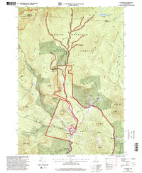
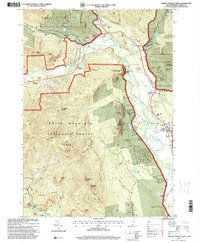
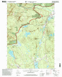
Historical Maps of Jackson Through Time
46 maps found
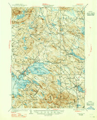
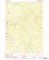
1928 Wolfeboro
Carroll County, NH
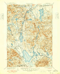
1930 Ossipee Lake
Carroll County, NH
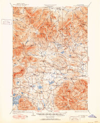
1931 Mt. Chocorua
Carroll County, NH
1958 Mt. Chocorua
Carroll County, NH
1958 Ossipee Lake
Carroll County, NH
1958 Wolfeboro
Carroll County, NH
1987 Bartlett
Carroll County, NH

1987 Chatham
Carroll County, NH
1987 Conway
Carroll County, NH
1987 Freedom
Carroll County, NH
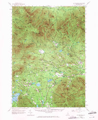
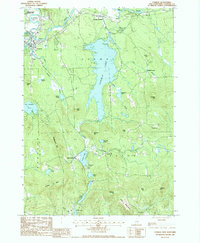
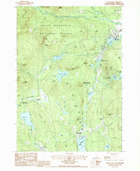
1987 Jackson
Carroll County, NH
1987 Mount Chocorua
Carroll County, NH
1987 North Conway East
Carroll County, NH
1987 North Conway West
Carroll County, NH
1987 Ossipee
Carroll County, NH
1987 Ossipee Lake
Carroll County, NH
1987 Silver Lake
Carroll County, NH
1987 Tamworth
Carroll County, NH
1987 Tuftonboro
Carroll County, NH
1987 Wolfeboro
Carroll County, NH

1995 Bartlett
Carroll County, NH
1995 Chatham
Carroll County, NH
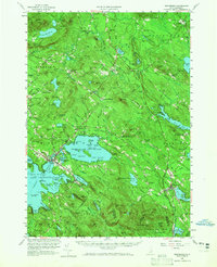
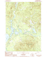
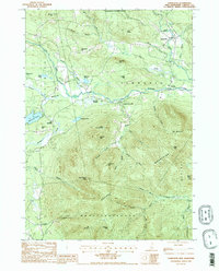
1995 Jackson
Carroll County, NH

1995 Mount Chocorua
Carroll County, NH

1995 North Conway East
Carroll County, NH
1995 North Conway West
Carroll County, NH
1995 Silver Lake
Carroll County, NH
1998 Conway
Carroll County, NH
1998 Ossipee
Carroll County, NH
1998 Ossipee Lake
Carroll County, NH

1998 Tamworth
Carroll County, NH
2000 Tuftonboro
Carroll County, NH
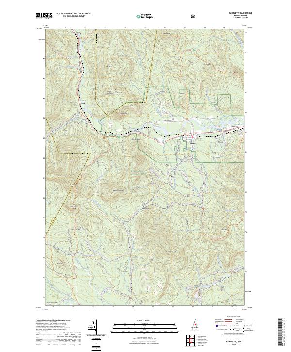
2024 Bartlett
Carroll County, NH
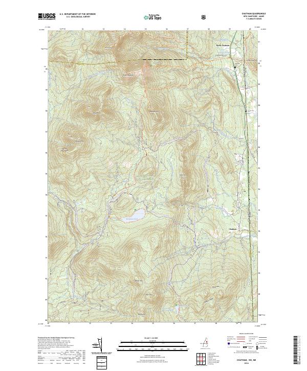
2024 Chatham
Carroll County, NH
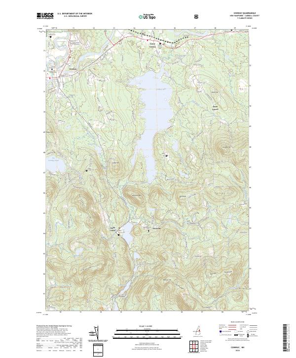
2024 Conway
Carroll County, NH
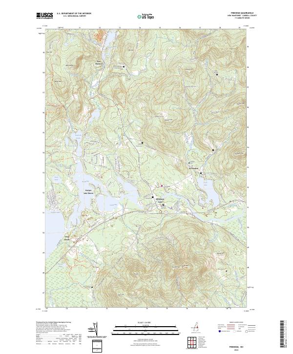
2024 Freedom
Carroll County, NH
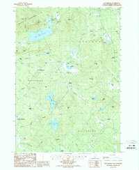
2024 Jackson
Carroll County, NH
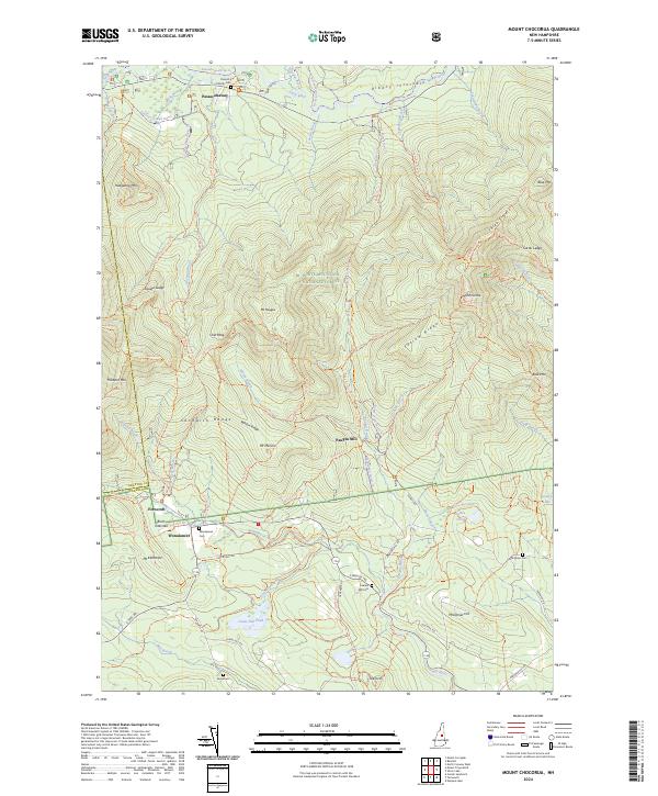
2024 Mount Chocorua
Carroll County, NH
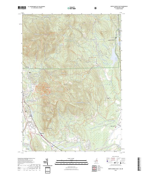
2024 North Conway East
Carroll County, NH
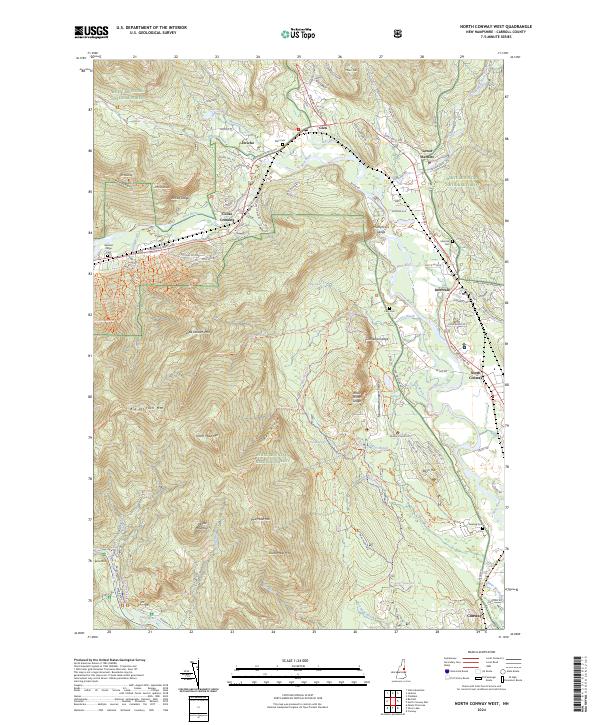
2024 North Conway West
Carroll County, NH
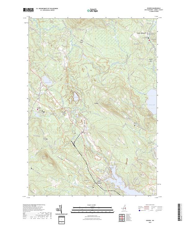
2024 Ossipee
Carroll County, NH
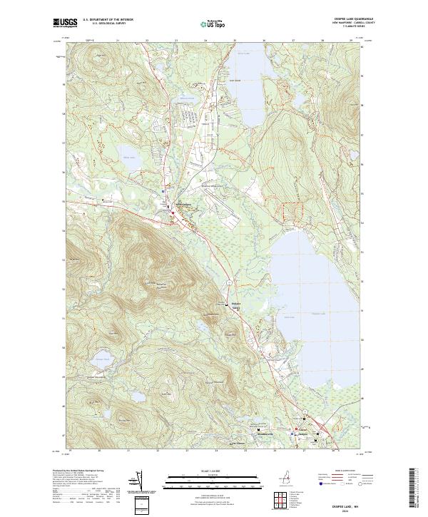
2024 Ossipee Lake
Carroll County, NH
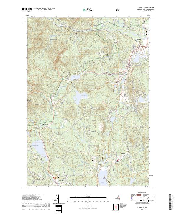
2024 Silver Lake
Carroll County, NH
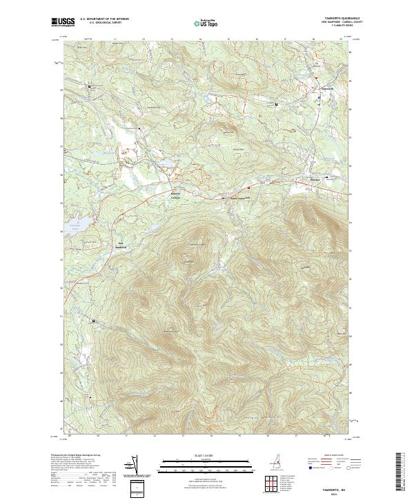
2024 Tamworth
Carroll County, NH
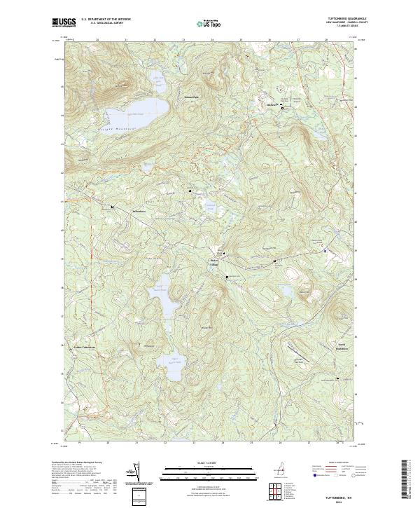
2024 Tuftonboro
Carroll County, NH
2024 Wolfeboro
Carroll County, NH