2000s (21st Century) Maps of Cheshire County, New Hampshire
Explore 125 historic maps of Cheshire County from the 2000s (21st Century). These maps offer a rare glimpse into what life looked like during the 2000s — showing old roads, neighborhoods, homes, and landmarks that have changed or disappeared over time.
Whether you're researching your family's past, planning a metal detecting trip, or studying how Cheshire County's landscape evolved across the 2000s, these high-resolution maps are a powerful tool for exploring the history of this region.
- Focus on a specific era: All maps on this page are from the 2000s, giving you a focused view of this time period.
- See what’s changed: Compare century-old streets, trails, and buildings to today's modern landscape using overlays and satellite layers.
- Research with precision: Use these maps for genealogy, historical research, land use analysis, or educational projects.
- View, download, or print: Maps are fully viewable online in high resolution, and can be downloaded or printed for your own records.
Start exploring Cheshire County's history through authentic maps from the 2000s. This is your window into the past.
Cheshire County, NH maps
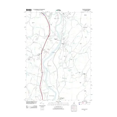
(125)- 2012 Map of Troy, 2012 Print
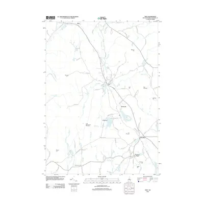 2012 Troy2012 Print · USGSCovers Cheshire County, including Swanzey, Jaffrey, and other nearby areas
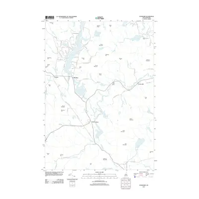
 - 2012 Map of Hinsdale, 2012 Print
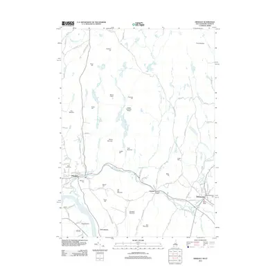 2012 Hinsdale2012 Print · USGSCovers Cheshire County, including Swanzey, Winchester, and other nearby areas
 - 2012 Map of Dublin, 2012 Print
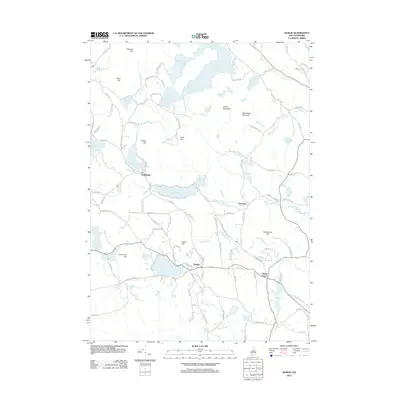 2012 Dublin2012 Print · USGSCovers Cheshire County, including Peterborough, Hancock, and other nearby areas
 - 2012 Map of West Swanzey, 2012 Print
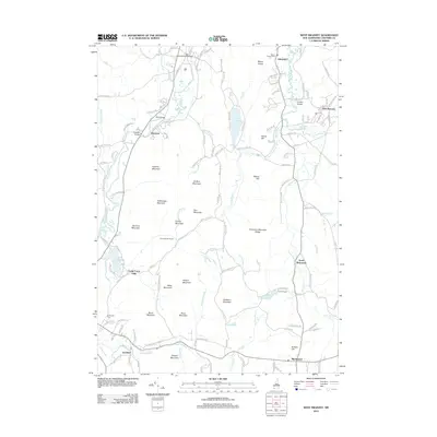 2012 West Swanzey2012 Print · USGSCovers Cheshire County, including Swanzey, Winchester, and other nearby areas
 - 2012 Map of Marlow, 2012 Print
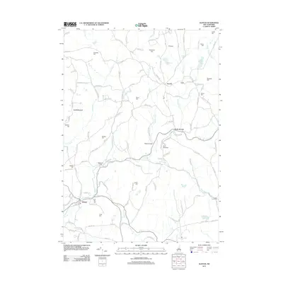
 2012 Marlow2012 Print · USGSCovers Cheshire County, including Keene, Alstead, and other nearby areas
 - 2012 Map of Alstead, 2012 Print
 2012 Alstead2012 Print · USGSCovers Cheshire County, including Walpole, Alstead, and other nearby areas
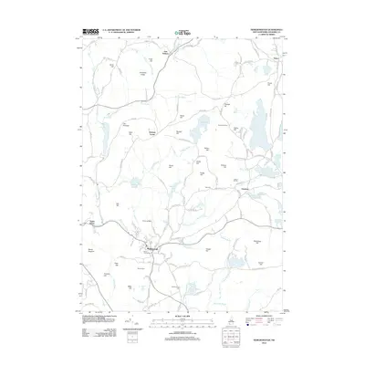
 - 2012 Map of Peterborough North, 2012 Print
 2012 Peterborough North2012 Print · USGSCovers Cheshire County, including Peterborough, Hancock, and other nearby areas
 - 2012 Map of Mount Grace, 2012 Print
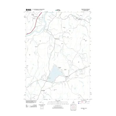
 2012 Mount Grace2012 Print · USGSCovers Cheshire County, including Orange, Winchester, and other nearby areas
 - 2012 Map of Royalston, 2012 Print
 2012 Royalston2012 Print · USGSCovers Cheshire County, including Athol, Templeton, and other nearby areas
 - 2012 Map of Winchendon, 2012 Print
 2012 Winchendon2012 Print · USGSCovers Cheshire County, including Winchendon, Templeton, and other nearby areas
 - 2012 Map of Ashburnham, 2012 Print
 2012 Ashburnham2012 Print · USGSCovers Cheshire County, including Gardner, Winchendon, and other nearby areas
 - 2012 Map of Northfield, 2012 Print
 2012 Northfield2012 Print · USGSCovers Cheshire County, including Winchester, Northfield, and other nearby areas
 - 2012 Map of Putney, 2012 Print
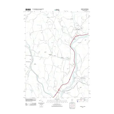 2012 Putney2012 Print · USGSCovers Cheshire County, including Brattleboro, Chesterfield, and other nearby areas
 - 2012 Map of Brattleboro, 2012 Print
 2012 Brattleboro2012 Print · USGSCovers Cheshire County, including Brattleboro, Chesterfield, and other nearby areas
 - 2012 Map of Spofford, 2012 Print
 2012 Spofford2012 Print · USGSCovers Cheshire County, including Keene, Chesterfield, and other nearby areas
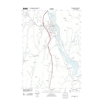
 - 2012 Map of Keene, 2012 Print
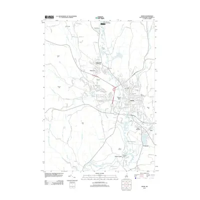 2012 Keene2012 Print · USGSCovers Cheshire County, including Keene, Swanzey, and other nearby areas
 - 2012 Map of Marlborough, 2012 Print
 2012 Marlborough2012 Print · USGSCovers Cheshire County, including Keene, Swanzey, and other nearby areas
 - 2012 Map of Peterborough South, 2012 Print
 2012 Peterborough South2012 Print · USGSCovers Cheshire County, including Rindge, Peterborough, and other nearby areas
 - 2012 Map of Monadnock Mountain, 2012 Print
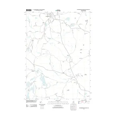
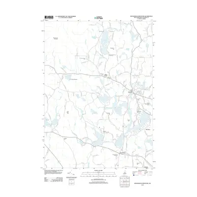 2012 Monadnock Mountain2012 Print · USGSCovers Cheshire County, including Rindge, Jaffrey, and other nearby areas
 - 2012 Map of Bellows Falls, 2012 Print
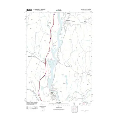 2012 Bellows Falls2012 Print · USGSCovers Cheshire County, including Brockways Mills, Springfield, and other nearby areas
 - 2012 Map of Washington, 2012 Print
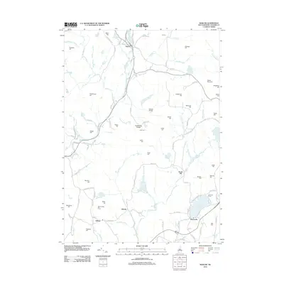
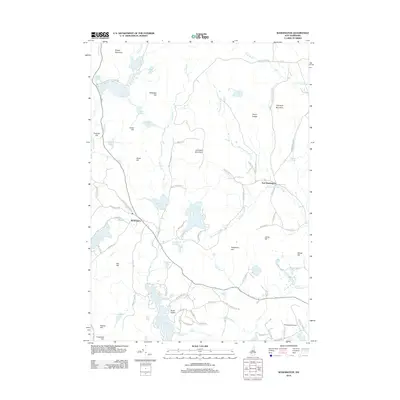 2012 Washington2012 Print · USGSCovers Cheshire County, including Hillsborough, Stoddard, and other nearby areas
 - 2012 Map of Walpole, 2012 Print
 2012 Walpole2012 Print · USGSCovers Cheshire County, including Walpole, Westminster, and other nearby areas
 - 2012 Map of Stoddard, 2012 Print
 2012 Stoddard2012 Print · USGSCovers Cheshire County, including Antrim, Hillsborough, and other nearby areas
 - 2012 Map of East Lempster, 2012 Print
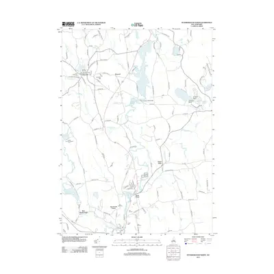
 2012 East Lempster2012 Print · USGSCovers Cheshire County, including Stoddard, Washington, and other nearby areas
 - 2012 Map of Gilsum, 2012 Print
 2012 Gilsum2012 Print · USGSCovers Cheshire County, including Walpole, Alstead, and other nearby areas
Showing maps 1-25 of 125
Top cities of Cheshire County
- Keene historical maps
- Swanzey historical maps
- Rindge historical maps
- Winchester historical maps
- Walpole historical maps
- Chesterfield historical maps
See more
Frequently asked questions
- What are the different types of historical maps available for Cheshire County?
- What is the oldest map of Cheshire County?
- Where can I purchase historical maps of Cheshire County for my home or office?
- Where can I download high-res historical maps of Cheshire County?
- Are there historical topographic maps available for Cheshire County?
- Is there historical aerial imagery available for Cheshire County?
- Where are historical maps of Cheshire County sourced from?