2000s (21st Century) Maps of Waterville Valley, New Hampshire
Explore 20 historic maps of Waterville Valley from the 2000s (21st Century). These maps offer a rare glimpse into what life looked like during the 2000s — showing old roads, neighborhoods, homes, and landmarks that have changed or disappeared over time.
Whether you're researching your family's past, planning a metal detecting trip, or studying how Waterville Valley's landscape evolved across the 2000s, these high-resolution maps are a powerful tool for exploring the history of this region.
- Focus on a specific era: All maps on this page are from the 2000s, giving you a focused view of this time period.
- See what’s changed: Compare century-old streets, trails, and buildings to today's modern landscape using overlays and satellite layers.
- Research with precision: Use these maps for genealogy, historical research, land use analysis, or educational projects.
- View, download, or print: Maps are fully viewable online in high resolution, and can be downloaded or printed for your own records.
Start exploring Waterville Valley's history through authentic maps from the 2000s. This is your window into the past.
Waterville Valley, NH maps
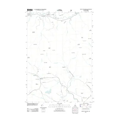
(20)- 2012 Map of Mount Tripyramid, 2012 Print
 2012 Mount Tripyramid2012 Print · USGSCovers Waterville Valley, including Sandwich, Albany, and other nearby areas
 - 2012 Map of Mount Chocorua, 2012 Print
 2012 Mount Chocorua2012 Print · USGSCovers Waterville Valley, including Tamworth, Sandwich, and other nearby areas
 - 2012 Map of Waterville Valley, 2012 Print
 2012 Waterville Valley2012 Print · USGSCovers Waterville Valley, including Campton, Thornton, and other nearby areas
 - 2012 Map of Mount Carrigain, 2012 Print
 2012 Mount Carrigain2012 Print · USGSCovers Waterville Valley, including Bartlett, Lincoln, and other nearby areas
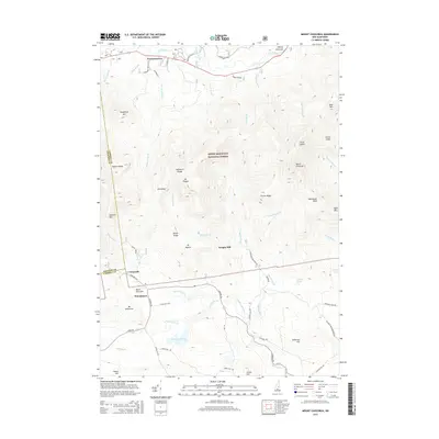
 - 2015 Map of Waterville Valley, 2015 Print
 2015 Waterville Valley2015 Print · USGSCovers Waterville Valley, including Campton, Thornton, and other nearby areas
 - 2015 Map of Mount Chocorua, 2015 Print
 2015 Mount Chocorua2015 Print · USGSCovers Waterville Valley, including Tamworth, Sandwich, and other nearby areas
 - 2015 Map of Mount Tripyramid, 2015 Print
 2015 Mount Tripyramid2015 Print · USGSCovers Waterville Valley, including Sandwich, Albany, and other nearby areas
 - 2015 Map of Mount Carrigain, 2015 Print
 2015 Mount Carrigain2015 Print · USGSCovers Waterville Valley, including Bartlett, Lincoln, and other nearby areas
 - 2018 Map of Mount Chocorua, 2018 Print
 2018 Mount Chocorua2018 Print · USGSCovers Waterville Valley, including Tamworth, Sandwich, and other nearby areas
 - 2018 Map of Mount Carrigain, 2018 Print
 2018 Mount Carrigain2018 Print · USGSCovers Waterville Valley, including Bartlett, Lincoln, and other nearby areas
 - 2018 Map of Waterville Valley, 2018 Print
 2018 Waterville Valley2018 Print · USGSCovers Waterville Valley, including Campton, Thornton, and other nearby areas
 - 2018 Map of Mount Tripyramid, 2018 Print
 2018 Mount Tripyramid2018 Print · USGSCovers Waterville Valley, including Sandwich, Albany, and other nearby areas
 - 2021 Map of Mount Tripyramid, 2021 Print
 2021 Mount Tripyramid2021 Print · USGSCovers Waterville Valley, including Sandwich, Albany, and other nearby areas
 - 2021 Map of Mount Chocorua, 2021 Print
 2021 Mount Chocorua2021 Print · USGSCovers Waterville Valley, including Tamworth, Sandwich, and other nearby areas
 - 2021 Map of Waterville Valley, 2021 Print
 2021 Waterville Valley2021 Print · USGSCovers Waterville Valley, including Campton, Thornton, and other nearby areas
 - 2021 Map of Mount Carrigain, 2021 Print
 2021 Mount Carrigain2021 Print · USGSCovers Waterville Valley, including Bartlett, Lincoln, and other nearby areas
 - 2024 Map of Waterville Valley, 2024 Print
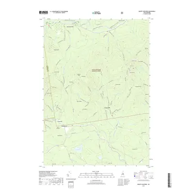
 2024 Waterville Valley2024 Print · USGSGrafton County in the twenty-first century remains a landscape of high peaks and river valleys shaped by the White Mountain National Forest. Genealogists and hikers can trace the Mad River Cem or explore historic sites like Tripoli Mill and the passage through Sandwich Notch.
 - 2024 Map of Mount Carrigain, 2024 Print
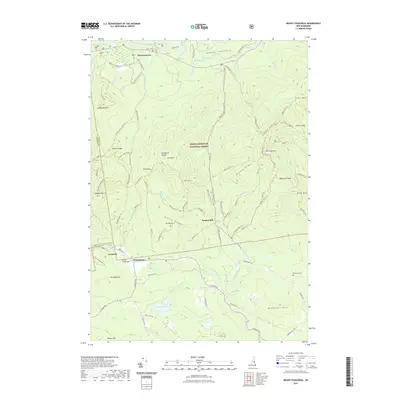
 2024 Mount Carrigain2024 Print · USGSThe high peaks of the Sandwich Range and Pemigewasset Wilderness appear here as they are today, managed for recreation and conservation. Outdoor historians can trace the paths of the Wilderness Trail and Sawyer River, or find the former sites of Stillwater and Livermore.
 - 2024 Map of Mount Tripyramid, 2024 Print
 2024 Mount Tripyramid2024 Print · USGSThe Sandwich Range peaks and the upper Swift River valley are captured in this modern survey of the New Hampshire high country. Hikers and historians can trace the paths to Sabbaday Falls, the remote Flat Mountain Ponds, and the historic Livermore Pass.
 - 2024 Map of Mount Chocorua, 2024 Print
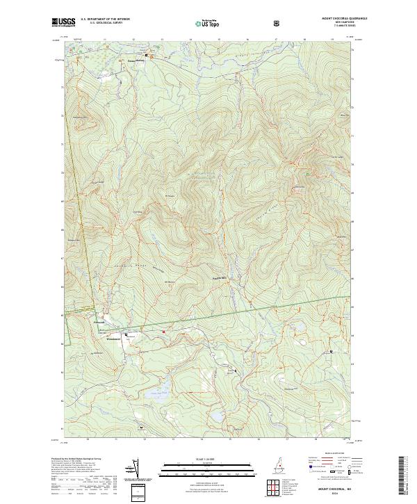 2024 Mount Chocorua2024 Print · USGSCarroll County’s mountain interior is mapped here in the modern era, showing the intersection of wilderness and early settlement. Researchers can trace historic family burial sites like Colbath Cem and the legacy of mountain industry at Paugus Mill.
End of results
Showing maps 1-20 of 20
Top cities near Waterville Valley
- Moultonborough historical maps
- Plymouth historical maps
- Ossipee historical maps
- Campton historical maps
- Bartlett historical maps
- Tamworth historical maps
See more
Top neighborhoods of Waterville Valley
Frequently asked questions
- What are the different types of historical maps available for Waterville Valley?
- What is the oldest map of Waterville Valley?
- Where can I purchase historical maps of Waterville Valley for my home or office?
- Where can I download high-res historical maps of Waterville Valley?
- Are there historical topographic maps available for Waterville Valley?
- Is there historical aerial imagery available for Waterville Valley?
- Where are historical maps of Waterville Valley sourced from?