2000s (21st Century) Maps of Sunapee, New Hampshire
Explore 20 historic maps of Sunapee from the 2000s (21st Century). These maps offer a rare glimpse into what life looked like during the 2000s — showing old roads, neighborhoods, homes, and landmarks that have changed or disappeared over time.
Whether you're researching your family's past, planning a metal detecting trip, or studying how Sunapee's landscape evolved across the 2000s, these high-resolution maps are a powerful tool for exploring the history of this region.
- Focus on a specific era: All maps on this page are from the 2000s, giving you a focused view of this time period.
- See what’s changed: Compare century-old streets, trails, and buildings to today's modern landscape using overlays and satellite layers.
- Research with precision: Use these maps for genealogy, historical research, land use analysis, or educational projects.
- View, download, or print: Maps are fully viewable online in high resolution, and can be downloaded or printed for your own records.
Start exploring Sunapee's history through authentic maps from the 2000s. This is your window into the past.
Sunapee, NH maps
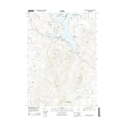
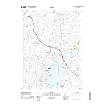
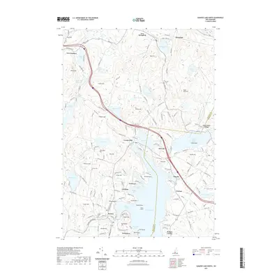
(20)- 2012 Map of Sunapee Lake South, 2012 Print
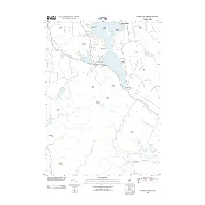 2012 Sunapee Lake South2012 Print · USGSCovers Sunapee, including Newbury, Sutton, and other nearby areas
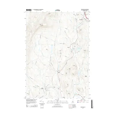
 - 2012 Map of Grantham, 2012 Print
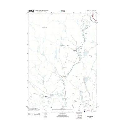 2012 Grantham2012 Print · USGSCovers Sunapee, including Newport, Grantham, and other nearby areas
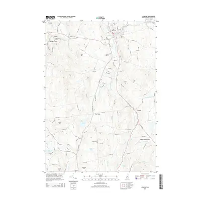
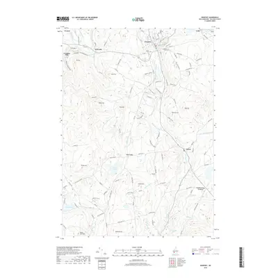
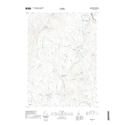
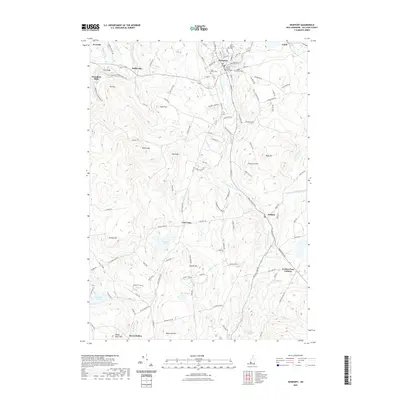
 - 2012 Map of Newport, 2012 Print
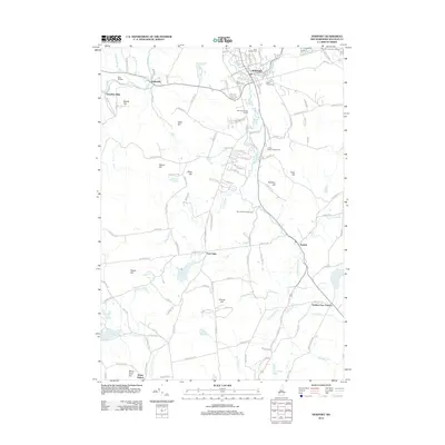 2012 Newport2012 Print · USGSCovers Sunapee, including Newport, Unity, and other nearby areas
 - 2012 Map of Sunapee Lake North, 2012 Print
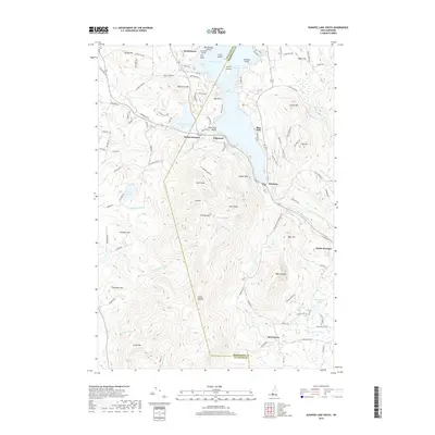
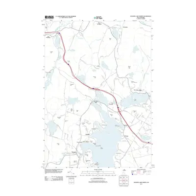 2012 Sunapee Lake North2012 Print · USGSCovers Sunapee, including New London, Grantham, and other nearby areas
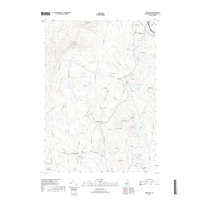
 - 2015 Map of Newport, 2015 Print
 2015 Newport2015 Print · USGSCovers Sunapee, including Newport, Unity, and other nearby areas
 - 2015 Map of Grantham, 2015 Print
 2015 Grantham2015 Print · USGSCovers Sunapee, including Newport, Grantham, and other nearby areas
 - 2015 Map of Sunapee Lake South, 2015 Print
 2015 Sunapee Lake South2015 Print · USGSCovers Sunapee, including Newbury, Sutton, and other nearby areas
 - 2015 Map of Sunapee Lake North, 2015 Print
 2015 Sunapee Lake North2015 Print · USGSCovers Sunapee, including New London, Grantham, and other nearby areas
 - 2018 Map of Newport, 2018 Print
 2018 Newport2018 Print · USGSCovers Sunapee, including Newport, Unity, and other nearby areas
 - 2018 Map of Sunapee Lake North, 2018 Print
 2018 Sunapee Lake North2018 Print · USGSCovers Sunapee, including New London, Grantham, and other nearby areas
 - 2018 Map of Grantham, 2018 Print
 2018 Grantham2018 Print · USGSCovers Sunapee, including Newport, Grantham, and other nearby areas
 - 2018 Map of Sunapee Lake South, 2018 Print
 2018 Sunapee Lake South2018 Print · USGSCovers Sunapee, including Newbury, Sutton, and other nearby areas
 - 2021 Map of Grantham, 2021 Print
 2021 Grantham2021 Print · USGSCovers Sunapee, including Newport, Grantham, and other nearby areas
 - 2021 Map of Newport, 2021 Print
 2021 Newport2021 Print · USGSCovers Sunapee, including Newport, Unity, and other nearby areas
 - 2021 Map of Sunapee Lake North, 2021 Print
 2021 Sunapee Lake North2021 Print · USGSCovers Sunapee, including New London, Grantham, and other nearby areas
 - 2021 Map of Sunapee Lake South, 2021 Print
 2021 Sunapee Lake South2021 Print · USGSCovers Sunapee, including Newbury, Sutton, and other nearby areas
 - 2024 Map of Grantham, 2024 Print
 2024 Grantham2024 Print · USGSSullivan County’s high ridgelines and river valleys are captured here in the mid-2020s, showing the enduring settlement patterns of central New Hampshire. Researchers can locate numerous family burial grounds and landmarks like Croydon Flat Cem, Parlin Field, and the peak of Croydon Mountain.
 - 2024 Map of Newport, 2024 Print
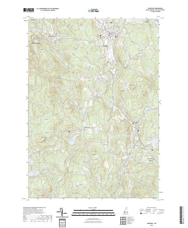 2024 Newport2024 Print · USGSSullivan County in the 2020s remains a landscape of river-valley villages and prominent hills. Researchers can trace local history through sites like the Sullivan County Courthouse and numerous burial grounds including Saint Patricks Cem and Four Corners Cem.
 - 2024 Map of Sunapee Lake North, 2024 Print
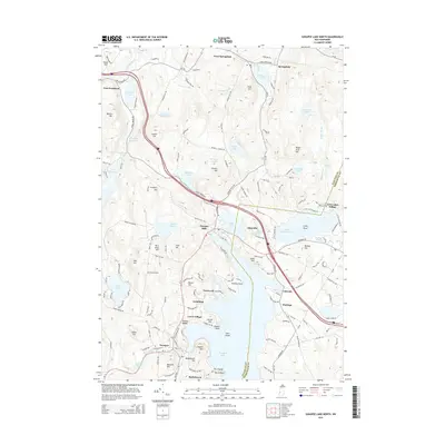
 2024 Sunapee Lake North2024 Print · USGSSullivan County's lakefront character is preserved in this study of the northern reaches of New Hampshire's lake country. Modern researchers can trace the historic village of Sunapee, find several burial sites like Georges Mills Cem, and locate landmarks such as Sunapee Harbor.
 - 2024 Map of Sunapee Lake South, 2024 Print
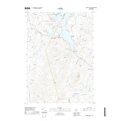
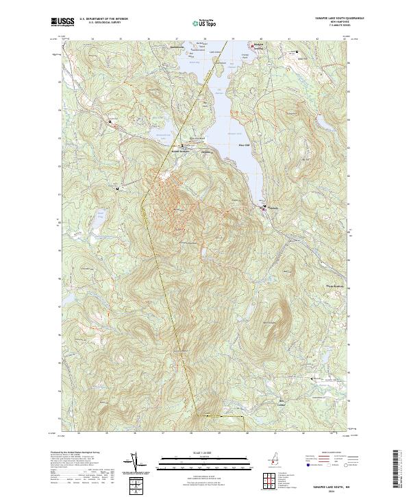 2024 Sunapee Lake South2024 Print · USGSThe southern shores of Sunapee Lake and the heights of Sunapee Mountain are captured here in the early twenty-first century. Genealogists and historians can trace the Inactive RR corridor or locate family plots at Lakeside Cem and Marshall Cem.
End of results
Showing maps 1-20 of 20
Top cities near Sunapee
- Lebanon historical maps
- Claremont historical maps
- Hartford historical maps
- Newport historical maps
- Enfield historical maps
- New London historical maps
See more
Top neighborhoods of Sunapee
- Burkehaven historical maps
- Fernwood historical maps
- Granliden historical maps
- Georges Mills historical maps
- White Shutters historical maps
Frequently asked questions
- What are the different types of historical maps available for Sunapee?
- What is the oldest map of Sunapee?
- Where can I purchase historical maps of Sunapee for my home or office?
- Where can I download high-res historical maps of Sunapee?
- Are there historical topographic maps available for Sunapee?
- Is there historical aerial imagery available for Sunapee?
- Where are historical maps of Sunapee sourced from?