1960s Maps of New Jersey
Explore 134 historic maps of New Jersey from the 1960s. These maps offer a rare glimpse into what life looked like during the 1960s — showing old roads, neighborhoods, homes, and landmarks that have changed or disappeared over time.
Whether you're researching your family's past, planning a metal detecting trip, or studying how New Jersey's landscape evolved across the 1960s, these high-resolution maps are a powerful tool for exploring the history of this region.
- Focus on a specific era: All maps on this page are from the 1960s, giving you a focused view of this time period.
- See what’s changed: Compare century-old streets, trails, and buildings to today's modern landscape using overlays and satellite layers.
- Research with precision: Use these maps for genealogy, historical research, land use analysis, or educational projects.
- View, download, or print: Maps are fully viewable online in high resolution, and can be downloaded or printed for your own records.
Start exploring New Jersey's history through authentic maps from the 1960s. This is your window into the past.
New Jersey maps
- 1960 Map of Newark
 1960 Newark1960 Print · USGSThe industrial heart of the Mid-Atlantic is shown at mid-century, stretching from the dense urban centers of Newark and Philadelphia to the Blue Mountain ridges. Researchers can trace historic rail lines, coastal defenses at Fort Hancock, and the riverfront growth of Trenton and Easton.3 unique versions available
 - 1960 Map of New York, 1979 Print
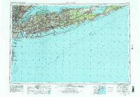 1960 New York1979 Print · USGSLong Island and the five boroughs are shown at a transformative moment mid-century as suburban expansion reshaped the landscape. Researchers can trace family roots through evolving neighborhoods from Rockville Centre to Sayville, or locate historic maritime landmarks like Eatons Neck and Montauk Point.2 unique versions available
 - 1961 Map of Hartford
 1961 Hartford1961 Print · USGSSouthern New England and the Hudson Valley are shown here in the mid-fifties, capturing a landscape of booming coastal cities and interior hill towns. Researchers can trace the legacy of the New York New Haven and Hartford rail corridor and find strategic sites like Camp Shanks and Fort Michie.
 - 1961 Map of Salisbury
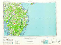 1961 Salisbury1961 Print · USGSThe Delmarva Peninsula comes into focus in the early sixties, showing the vital road and rail networks connecting the Chesapeake to the Atlantic. Genealogists and historians can trace family-named landings and coastal landmarks from Crisfield to the Brandywine Shoal Lighthouse.
 - 1962 Map of Hartford, 1971 Print
 1962 Hartford1971 Print · USGSSouthern New England and the Hudson Valley are shown in the early sixties, as suburban growth reached into the foothills. Trace the path of the New York New Haven & Hartford RR and find landmarks like Camp Nathan Hale and Gillette Castle State Park.3 unique versions available
 - 1962 Map of Scranton, 1977 Print
 1962 Scranton1977 Print · USGSThe industrial heart of eastern Pennsylvania and the New York Catskills are captured here in the early sixties. Genealogists and historians can trace the dense valley settlements from Scranton to Wilkes-Barre and the rail lines of the Erie Lackawanna Railroad.2 unique versions available
 - 1963 Map of Unionville
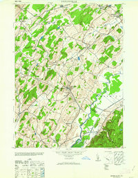 1963 Unionville1963 Print · USGSThe New York and New Jersey borderlands appear in detail during the early 1940s, showing a landscape shaped by rail lines and local industry. Researchers can trace family roots through sites like Westtown Cemetery or explore the era's commerce at the American Silk Label Co and Sussex Distillery.
 - 1964 Map of Newark
 1964 Newark1964 Print · USGSGreater New Jersey and eastern Pennsylvania appear at the peak of their industrial and rail-centered development in the mid-sixties. Genealogists and historians can trace the paths of the Pennsylvania RR, identify mid-century landmarks like CAMP KILMER, or follow the Schuylkill River through READING.2 unique versions available
 - 1965 Map of Scranton
 1965 Scranton1965 Print · USGSThe tri-state highlands of Pennsylvania, New York, and New Jersey come alive in the mid-sixties as industry and recreation converge. Trace the intricate rail lines of the Erie Lackawanna RR or locate landmarks like the U S Military Academy.2 unique versions available
 - 1965 Map of Hartford
 1965 Hartford1965 Print · USGSSouthern New England and the Hudson Valley are shown here during the mid-sixties expansion of the Interstate era. Trace the path of the New York New Haven & Hartford RR or locate historic landmarks like West Point Military Reservation and the Merritt Parkway.2 unique versions available
 - 1965 Map of Salisbury
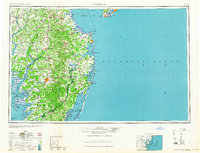 1965 Salisbury1965 Print · USGSThe Delmarva Peninsula in the mid-1960s is depicted here as a landscape of coastal defenses and maritime hubs. Genealogists and local historians can trace the foundations of bayside towns like Crisfield and the tactical positioning of the Fort Miles Military Reservation and Cape May Naval Air Station.
 - 1966 Map of Williamstown, 1968 Print
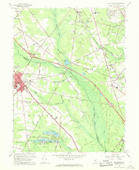 1966 Williamstown1968 Print · USGSSouth Jersey's shifting landscape is evident in the 1960s as major new arteries bisect traditional farming and rail communities. Genealogists and local historians can trace the footprint of Williamstown, Chesilhurst, and Sicklerville alongside landmarks like Hopewell Cem and St Johns Ch.3 unique versions available
 - 1966 Map of Pitman East, 1968 Print
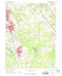 1966 Pitman East1968 Print · USGSMid-century Gloucester County comes into focus as the growth of Glassboro and its college meets the rural reaches of Monroe and Franklin. Researchers can trace the Pennsylvania-Reading Seashore Lines or locate family sites like Fries Mill and Hill Crest Memorial Park.3 unique versions available
 - 1966 Map of Coney Island, 1968 Print
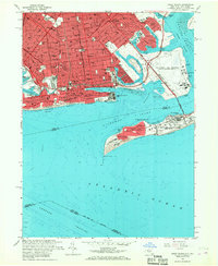 1966 Coney Island1968 Print · USGSThe southern shoreline of Brooklyn and the Rockaways is shown in the 1960s, documenting a landscape of dense urban blocks and strategic coastal defense. Genealogists and historians can trace the development of Sheepshead Bay, the operations at Floyd Bennett Field, and the vast Washington Cemetery.4 unique versions available
 - 1966 Map of Moorestown, 1968 Print
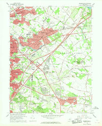 1966 Moorestown1968 Print · USGSBURLINGTON COUNTY in the mid-sixties shows a rapidly evolving suburban landscape defined by new residential developments and critical transit corridors. Researchers can trace the layout of early communities and institutions from Colestown Cemetery to the Moorestown Airport and Mount Laurel State Park.3 unique versions available
 - 1966 Map of Yonkers, 1968 Print
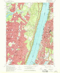 1966 Yonkers1968 Print · USGSThe Hudson River divides Bergen County and the Bronx in the mid-1960s, showing a region defined by its topography and rapid suburbanization. Local historians can trace the development of Yonkers and Englewood alongside landmarks like Manhattan College and the Camp Merritt Mon.3 unique versions available
 - 1966 Map of The Narrows, 1968 Print
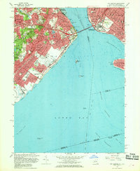 1966 The Narrows1968 Print · USGSThe mid-sixties saw Staten Island and Brooklyn transformed by the new bridge spanning The Narrows. Genealogists and historians can trace neighborhood growth through local landmarks like Moravian Cemetery, the Staten Island Transit line, and Fort Wadsworth.4 unique versions available
 - 1966 Map of Hammonton, 1968 Print
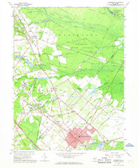 1966 Hammonton1968 Print · USGSThe New Jersey Pine Barrens are captured here in the mid-1960s, showing the intersection of historic rail lines and the growing expressway network. Genealogists and researchers can locate several rural burial grounds like St Anthonys Cem and early landmarks such as Township Sch No 6.4 unique versions available
 - 1966 Map of Wilmington, 1968 Print
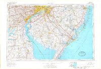 1966 Wilmington1968 Print · USGSThe Delaware Valley and Jersey Shore are seen here in the mid-1960s, documenting a landscape of dense industrial cities and emerging coastal resorts. Researchers can trace the sprawling rail networks of the Pennsylvania Railroad or locate landmarks like Fort Dix Military Reservation and Elk Neck State Park.4 unique versions available
 - 1966 Map of Beverly, 1969 Print
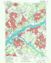 1966 Beverly1969 Print · USGSThe Delaware River corridor hums with mid-century development during the 1960s, linking the established neighborhoods of Northeast Philly with burgeoning New Jersey suburbs. Researchers can trace family roots through numerous sites like Beverly National Cemetery, Liberty Bell Park, and Holy Family College.5 unique versions available
 - 1966 Map of Arthur Kill, 1969 Print
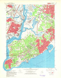 1966 Arthur Kill1969 Print · USGSStaten Island and the industrial shores of New Jersey are shown in the mid-sixties during a time of major suburban growth. Trace family roots and local landmarks through sites like the Willowbrook State School, The Richmondtown, and the Staten Island Rapid Transit line.4 unique versions available
 - 1966 Map of Central Park, 1970 Print
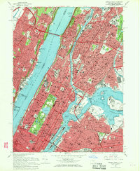 1966 Central Park1970 Print · USGSMid-century Manhattan and the Bronx are captured here during a period of massive infrastructure and institutional growth. Researchers can trace the footprints of Columbia University, the United Nations Headquarters, and St Michaels Cemetery before decades of further urban change.4 unique versions available
 - 1967 Map of Unionville
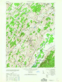 1967 Unionville1967 Print · USGSThe New York and New Jersey borderlands come to life in this mid-century survey of the valley south of Middletown. Genealogists and historians can trace the local economy through industrial sites like the Sussex Distillery and schools such as the Westtown School.
 - 1967 Map of Medford Lakes, 1968 Print
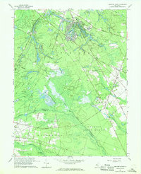 1967 Medford Lakes1968 Print · USGSThe Jersey Pine Barrens and its burgeoning lake communities are detailed in this late sixties survey of Burlington and Camden counties. Trace the evolution of specialized agriculture and local recreation at West Jersey Cranberry Meadows, Atco Dragway, and Camp Kettle Run.4 unique versions available
 - 1967 Map of Weehawken, 1968 Print
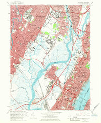 1967 Weehawken1968 Print · USGSBergen and Hudson counties are shown here in the late sixties as a dense landscape of rail yards, meadowlands, and riverfront industry. Genealogists and local historians can trace the foundations of Union City and Lodi through landmarks like St Michaels Monastery, Grove Church Cem, and Teterboro Airport.3 unique versions available
Showing maps 1-25
Top cities of New Jersey
- Newark historical maps
- Jersey City historical maps
- Paterson historical maps
- Elizabeth historical maps
- Edison historical maps
- Woodbridge Township historical maps
See more
Top counties of New Jersey
- Bergen County historical maps
- Middlesex County historical maps
- Essex County historical maps
- Hudson County historical maps
- Monmouth County historical maps
- Ocean County historical maps
See more
Frequently asked questions
- What are the different types of historical maps available for New Jersey?
- What is the oldest map of New Jersey?
- Where can I purchase historical maps of New Jersey for my home or office?
- Where can I download high-res historical maps of New Jersey?
- Are there historical topographic maps available for New Jersey?
- Is there historical aerial imagery available for New Jersey?
- Where are historical maps of New Jersey sourced from?