Old Maps of Paddy's Hole, New Mexico for Genealogy
Trace your family roots with 10 historic maps of Paddy's Hole. These high-res maps reveal old neighborhoods, homesites, landmarks, and streets — helping you uncover where your ancestors lived and how the area evolved over time.
- Explore historic neighborhoods: Identify where your relatives may have lived in the 1800s or 1900s.
- Compare maps over time: Trace the changes in streets, buildings, and landmarks for multi-generational research.
- Perfect for genealogy & ancestry research: Used by family historians and researchers to map out lineage and migration.
These maps are an incredible resource for exploring your personal connection to Paddy's Hole's past.
Paddy's Hole, NM maps
(10)- 1954 Map of Tularosa, 1963 Print
 1954 Tularosa1963 Print · USGSSouth-central New Mexico in the early fifties shows a landscape of desert basins and high peaks under heavy military and water-reclamation use. Trace the path of the Atchison Topeka and Santa Fe Railway past San Marcial and into the massive White Sands Proving Ground.4 unique versions available
 - 1958 Map of Tularosa
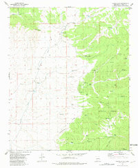
 1958 Tularosa1958 Print · USGSSouthern New Mexico in the late fifties shows a landscape of military expansion and deep-rooted river settlements. Trace family history in Truth or Consequences or locate the ruins of San Marcial and the remote Dusty Post Office.2 unique versions available
 - 1979 Map of San Mateo Mountains
 1979 San Mateo Mountains1979 Print · USGSCentral New Mexico’s high desert and mountain ranges are captured here in the late seventies, showing the remote ranching and mining country of Socorro County. Researchers can locate historic sites like Fort Craig (Ruins), the Continental Divide, and isolated settlements like Dusty and Monticello.2 unique versions available
 - 1981 Map of Paddys Hole
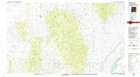
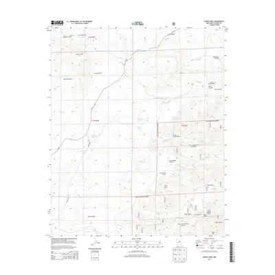
 1981 Paddys Hole1981 Print · USGSHigh desert ranching and forest lands in Catron County are captured here in the early eighties. Researchers can trace the Continental Divide as it winds past landmarks like Paddys Hole, Lonesome Well, and Bear Mountain.
 - 1999 Map of Paddys Hole, 2002 Print
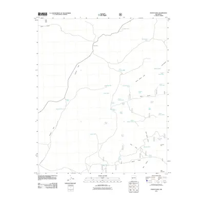
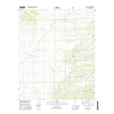
 1999 Paddys Hole2002 Print · USGSThe high country of Catron County is captured here at the close of the twentieth century, dominated by the rugged spine of the Continental Divide. Researchers can trace the path of the Continental Divide National Scenic Trail past historic water sites like Paddys Hole and Lonesome Well.
 - 2011 Map of Paddys Hole, 2011 Print
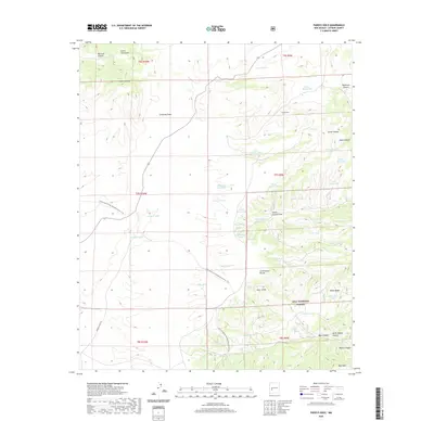
 2011 Paddys Hole2011 Print · USGSCovers Paddy's Hole, including Catron County, United States, and other nearby areas
 - 2013 Map of Paddys Hole, 2013 Print
 2013 Paddys Hole2013 Print · USGSCovers Paddy's Hole, including Catron County, United States, and other nearby areas
 - 2017 Map of Paddys Hole, 2017 Print
 2017 Paddys Hole2017 Print · USGSCovers Paddy's Hole, including Catron County, United States, and other nearby areas
 - 2020 Map of Paddys Hole, 2020 Print
 2020 Paddys Hole2020 Print · USGSCovers Paddy's Hole, including Catron County, United States, and other nearby areas
 - 2023 Map of Paddys Hole, 2023 Print
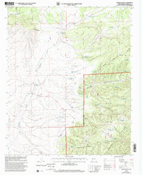
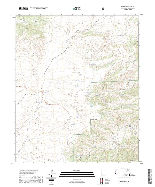 2023 Paddys Hole2023 Print · USGSCatron County, New Mexico, is shown in this recent survey during a period of modern ranching and conservation efforts. Researchers can trace the Continental Divide National Scenic Trl as it passes landmarks like Spaniard Tank and the Black Range.
End of results
Showing maps 1-10 of 10
Frequently asked questions
- What are the different types of historical maps available for Paddy's Hole?
- What is the oldest map of Paddy's Hole?
- Where can I purchase historical maps of Paddy's Hole for my home or office?
- Where can I download high-res historical maps of Paddy's Hole?
- Are there historical topographic maps available for Paddy's Hole?
- Is there historical aerial imagery available for Paddy's Hole?
- Where are historical maps of Paddy's Hole sourced from?