Old Maps of Willow Creek, New Mexico for Hiking & Exploration
Hike through history with 14 historic maps of Willow Creek. Explore old trails, ghost towns, and forgotten backroads — perfect for outdoor adventurers and local explorers.
- Rediscover forgotten places: Map out old mining camps, roads, and footpaths that no longer exist on modern maps.
- Layer with modern tools: Combine with LiDAR or satellite views to plan hikes through historical terrain.
- Made for exploration: Popular among hikers, overlanders, and local history lovers.
Use these maps to find adventure and explore the hidden past of Willow Creek.
Willow Creek, NM maps
(14)- 1910 Map of Mogollon, 1959 Print
 1910 Mogollon1959 Print · USGSThe high mining camps and river settlements of Catron County come alive in this survey from the early 1900s. Genealogists and historians can trace old homesteads and industrial sites like the Meader Stage Sta, Box N Ranch, and the Power Plant near Graham.2 unique versions available
 - 1912 Map of Mogollon
 1912 Mogollon1912 Print · USGSNew Mexico's high timber and mining country come to life in this survey from the years just before statehood. Researchers can trace the early industrial footprint of Cooney and Mogollon or locate remote outposts like Meadows Stage Sta and N Bar Ranch.2 unique versions available
 - 1954 Map of Clifton, 1968 Print
 1954 Clifton1968 Print · USGSThe high timber and copper country of the Arizona-New Mexico border is captured here during the mid-fifties. Genealogists and historians can trace family holdings like the Double Circle Ranch or study the industrial footprint of the Smelting Plant at Clifton.3 unique versions available
 - 1957 Map of Clifton
 1957 Clifton1957 Print · USGSThe copper-mining district around Clifton and Morenci meets the high timberlands of the Mogollon Rim during the mid-1950s. Genealogists and researchers can trace family-named outposts and remote mountain settlements like Reserve, Stargo, and Fort Thomas.
 - 1958 Map of Clifton
 1958 Clifton1958 Print · USGSThe rugged high country of the Arizona-New Mexico border comes into focus in the mid-fifties, showing a landscape of mining camps and forest outposts. Genealogists and researchers can trace old settlements and remote sites like Mogollon, East Fork Mission, and the Tidwell Mine.
 - 1962 Map of Clifton
 1962 Clifton1962 Print · USGSThe copper-rich Arizona-New Mexico borderlands come into focus in the early sixties, centered on the mining complexes of Morenci and Clifton. Researchers can trace the Southern Pacific rail lines and locate remote outposts like Honeymoon and the Double Circle Ranch.
 - 1963 Map of Negrito Mountain, 1965 Print
 1963 Negrito Mountain1965 Print · USGSIn the high backcountry of the 1960s, this area of New Mexico was defined by remote forest outposts and rugged cattle ranching. Researchers can trace historic trails and sites like the Willow Creek Guard Station, N Bar Ranch, and the Lookout Tower.
 - 1985 Map of Mogollon Mountains
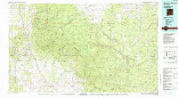 1985 Mogollon Mountains1985 Print · USGSThe high wilderness of Catron and Grant counties is shown in the mid-1980s, documenting the remote canyons and peaks of the Gila region. Researchers can trace the proximity of historic mining sites like Confidence Mine to small mountain towns such as Mogollon and Glenwood.
 - 1999 Map of Negrito Mountain, 2002 Print
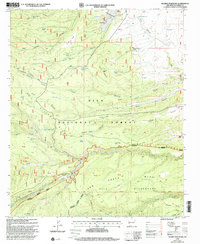 1999 Negrito Mountain2002 Print · USGSCatron County's high forest and wilderness areas are captured here at the close of the twentieth century. Researchers can trace the water sources and roads serving N Bar Ranch or locate the Ben Lilly landmark and the Willow Creek Lodge.
 - 2011 Map of Negrito Mountain, 2011 Print
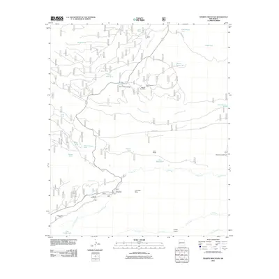 2011 Negrito Mountain2011 Print · USGSThe high backcountry of Catron County is documented here during the early twenty-first century, showcasing a landscape of high mesas and vital water tanks. Researchers can locate remote outposts like N Bar Ranch and historic sites such as the Negrito Mountain Lookout.
 - 2013 Map of Negrito Mountain, 2013 Print
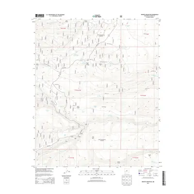 2013 Negrito Mountain2013 Print · USGSHigh-altitude forest management and remote ranching infrastructure characterize this portion of the Gila National Forest in the early twenty-first century. Researchers can locate specific water sources and fire infrastructure like Negrito Mountain Lookout, Burnt Cabin Cienega, and Adam Hoague Lake.
 - 2017 Map of Negrito Mountain, 2017 Print
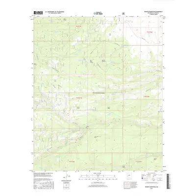 2017 Negrito Mountain2017 Print · USGSCatron County ranching and forest lands are revealed in this modern survey of the wilderness. Trace remote roads like Bursum Rd to find family-named landmarks such as Adam Hoague Lake and the water sources at Burnt Cabin Cienega Spring.
 - 2020 Map of Negrito Mountain, 2020 Print
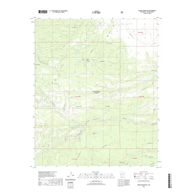 2020 Negrito Mountain2020 Print · USGSCovers Willow Creek, including Catron County, United States, and other nearby areas
 - 2023 Map of Negrito Mountain, 2023 Print
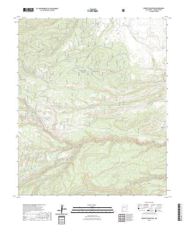 2023 Negrito Mountain2023 Print · USGSHigh in the Gila National Forest during the early 2020s, this area reveals a rugged landscape of deep canyons and mesa tops. Researchers can trace remote mountain water sources like Burnt Cabin Cienega Spring and Adam Hoague Lake, or navigate the high-country paths of Gilita Ridge.
End of results
Showing maps 1-14 of 14
Frequently asked questions
- What are the different types of historical maps available for Willow Creek?
- What is the oldest map of Willow Creek?
- Where can I purchase historical maps of Willow Creek for my home or office?
- Where can I download high-res historical maps of Willow Creek?
- Are there historical topographic maps available for Willow Creek?
- Is there historical aerial imagery available for Willow Creek?
- Where are historical maps of Willow Creek sourced from?