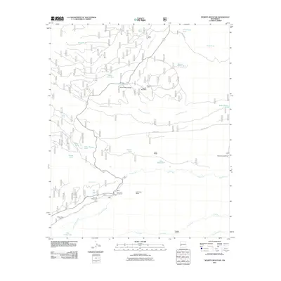
2011 Map of Negrito Mountain
USGS Topo · Published 2011About this map
Willow Creek Lodge and the remote outpost of N Bar Ranch anchor this landscape, which is defined by a dense network of high-elevation creeks and vital water storage tanks. The terrain is marked by significant topographical features such as Negrito Mountain, which houses the Negrito Mountain Lookout, and the expansive Iron Creek Mesa. A complex system of drainage is evident through the winding paths of South Fork Negrito Creek, Quaking Aspen Creek, and Gilita Creek. The presence of several established recreational sites, including Willow Creek Campground, Ben Lilly Campground, and Dipping Vat Campground, suggests a region deeply integrated with forest management and outdoor tourism. Access is facilitated by rugged routes such as Bursum Rd and Loco Mountain Rd, connecting isolated cattle tanks and family-named landmarks like Adam Hoague Lake.
Find a feature on this map
41 named features on this map. Tap any name to fly to it.
Don’t see what you’re looking for? This feature index may not catch every label — zoom into the map to look around manually.
Map Details
Editions of this 2011 Negrito Mountain Map
This is the sole edition of this map. No revisions or reprints were ever made.
Other maps of this area

1910 · Mogollon
USGS Topo · 1:125,000

1911 · Alum Mountain
USGS Topo · 1:125,000

1912 · Mogollon
USGS Topo · 1:125,000

1913 · Alum Mountain
USGS Topo · 1:125,000

1915 · Reserve
USGS Topo · 1:125,000

1918 · Pelona
USGS Topo · 1:125,000

1918 · Reserve
USGS Topo · 1:125,000

1954 · Clifton
USGS Topo · 1:250,000

1957 · Clifton
USGS Topo · 1:250,000

1958 · Clifton
USGS Topo · 1:250,000