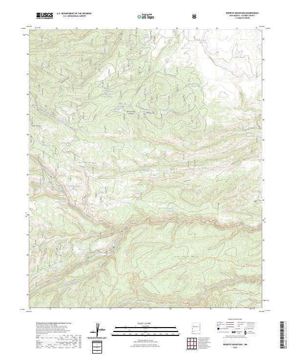
2023 Map of Negrito Mountain
USGS Topo · Published 2023About this map
Negrito Mtn serves as a prominent landmark in this high-elevation reach of Catron County, New Mexico. The landscape is defined by the headwaters and drainage networks of the Gila National Forest, where steep canyons like Dark Canyon and Snow Canyon cut through massive landforms. Evidence of high-country ranching and remote outposts is found throughout, notably at Burnt Cabin Cienega and its associated Burnt Cabin Cienega Spring. The southern portion of the map transitions into the Gila Wilderness, featuring the expansive Iron Creek Mesa and Clayton Mesa. Numerous livestock tanks, such as Adam Hoague Lake and Teacher Tank, are scattered across the terrain, illustrating the vital role of water management in these upland forests. Surveyed paths like the Iron Creek Mesa Trl and Middle Fork Trl provide the primary access into the wilderness depths.
Find a feature on this map
57 named features on this map. Tap any name to fly to it.
Don’t see what you’re looking for? This feature index may not catch every label — zoom into the map to look around manually.
Map Details
Editions of this 2023 Negrito Mountain Map
This is the sole edition of this map. No revisions or reprints were ever made.
Other maps of this area

1910 · Mogollon
USGS Topo · 1:125,000

1911 · Alum Mountain
USGS Topo · 1:125,000

1912 · Mogollon
USGS Topo · 1:125,000

1913 · Alum Mountain
USGS Topo · 1:125,000

1915 · Reserve
USGS Topo · 1:125,000

1918 · Pelona
USGS Topo · 1:125,000

1918 · Reserve
USGS Topo · 1:125,000

1954 · Clifton
USGS Topo · 1:250,000

1957 · Clifton
USGS Topo · 1:250,000

1958 · Clifton
USGS Topo · 1:250,000