Old Maps of Boyd, New Mexico for Metal Detecting
Plan your next treasure hunt with 14 historic maps of Boyd. Find old homesites, ghost towns, trails, and gathering spots that may be lost to time — perfect for identifying promising metal detecting locations.
- Locate forgotten sites: Uncover places like long-lost settlements, abandoned rail lines, or gathering spots.
- Plan better hunts: Use map overlays combined with LiDAR or satellite views to narrow in on historically rich areas.
- Made for detectorists: Thousands of hobbyists use these maps to discover relics, coins, and hidden history.
Use these historic maps to boost your research and find new opportunities beneath the surface of Boyd.
Boyd, NM maps
(14)- 1891 Map of Las Cruces
 1891 Las Cruces1891 Print · USGSThe Mesilla Valley and Organ Mountains are shown here during the late territorial era, when the railroad was transforming the region. Genealogists and historians can trace early settlements like Mesilla, Fort Selden, and the mining hub at Organ City.
 - 1893 Map of Las Cruces
 1893 Las Cruces1893 Print · USGSSettlements along the Rio Grande flourished in the 1890s as the railroad arrived in Doña Ana County. Genealogists can trace family roots in Mesilla, Las Cruces, and Santa Tomaz, or locate the historic site of Fort Selden.4 unique versions available
 - 1941 Map of Organ Peak, 1961 Print
 1941 Organ Peak1961 Print · USGSDona Ana County was a land of high desert peaks and isolated ranching outposts in the early 1940s. Genealogists and historians can locate family-named landmarks like the Will F. Isaacs Ranch and Beasley Ranch, or trace the grounds of New Mexico State College.2 unique versions available
 - 1943 Map of Organ Peak
 1943 Organ Peak1943 Print · USGSDona Ana County is captured here in the early 1940s, showing the intersection of high desert ranching and the growth of the state college. Genealogists and historians can locate family holdings like Beasley Ranch, the settlement of Organ, and the Modoc Mine.2 unique versions available
 - 1955 Map of Organ Peak, 1962 Print
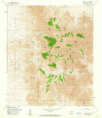 1955 Organ Peak1962 Print · USGSThe high peaks of the New Mexico desert meet mid-century defense infrastructure in the mid-fifties. Researchers can trace historical sites like the Hayner Resort, the Modoc Mine, and vital water sources such as Aguirre Spring and Dripping Springs.3 unique versions available
 - 1955 Map of Las Cruces, 1963 Print
 1955 Las Cruces1963 Print · USGSSouthern New Mexico comes into focus during the mid-fifties, showing the growth of Las Cruces alongside major military and scientific installations. Genealogists and historians can trace the Southern Pacific tracks through small rail towns like Cambray and Afton, or locate family sites near Hatch and Deming.3 unique versions available
 - 1958 Map of Las Cruces
 1958 Las Cruces1958 Print · USGSSouthern New Mexico in the late fifties was a landscape of rapid scientific and military growth centered on the Rio Grande. Local historians can trace the development of Las Cruces, the campus of New Mexico A and M College, and remote rail sidings like Aden Siding.
 - 1982 Map of Las Cruces
 1982 Las Cruces1982 Print · USGSThe Rio Grande valley and the Organ Mountains define this 1980s portrait of southern New Mexico's ranching and military landscape. Trace historic land divisions like the Brazito Grant alongside landmarks such as Santo Tomas and the Silver King Mine.
 - 1996 Map of Organ Peak, 2001 Print
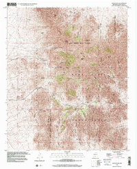 1996 Organ Peak2001 Print · USGSThe high desert of Doña Ana County is captured here in the mid-1990s as recreation and military interests converged. Genealogists and historians can trace old access routes like Soledad Road, the location of Hayner Resort, and the historic Modoc Mine.
 - 2010 Map of Organ Peak, 2010 Print
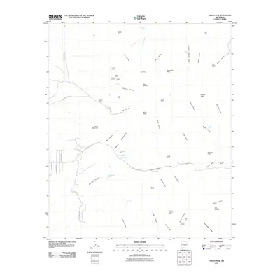 2010 Organ Peak2010 Print · USGSCovers Boyd, including Doña Ana County, United States, and other nearby areas
 - 2013 Map of Organ Peak, 2013 Print
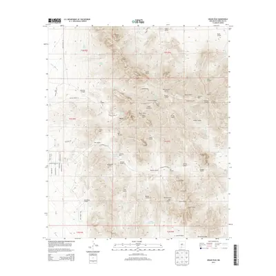 2013 Organ Peak2013 Print · USGSCovers Boyd, including Doña Ana County, United States, and other nearby areas
 - 2017 Map of Organ Peak, 2017 Print
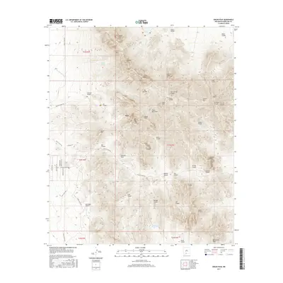 2017 Organ Peak2017 Print · USGSCovers Boyd, including Doña Ana County, United States, and other nearby areas
 - 2020 Map of Organ Peak, 2020 Print
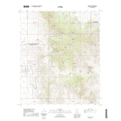 2020 Organ Peak2020 Print · USGSCovers Boyd, including Doña Ana County, United States, and other nearby areas
 - 2023 Map of Organ Peak, 2023 Print
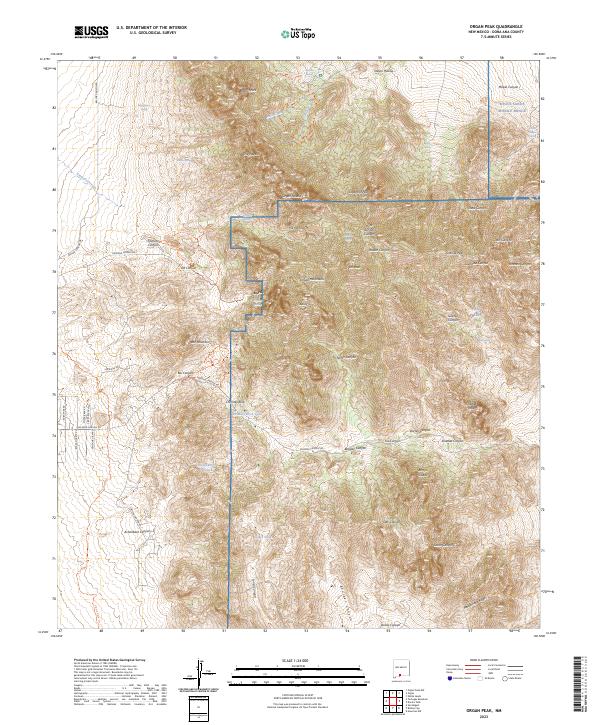 2023 Organ Peak2023 Print · USGSThe high peaks and deep canyons of the Organ Mountains are shown here in the 2020s, showing the intersection of military lands and protected wilderness. Researchers can trace the trails and desert springs around Boyd, Dripping Springs, and Organ Peak.
End of results
Showing maps 1-14 of 14
Top cities near Boyd
- Las Cruces historical maps
- Mesilla historical maps
- Butterfield Park historical maps
- Organ historical maps
Frequently asked questions
- What are the different types of historical maps available for Boyd?
- What is the oldest map of Boyd?
- Where can I purchase historical maps of Boyd for my home or office?
- Where can I download high-res historical maps of Boyd?
- Are there historical topographic maps available for Boyd?
- Is there historical aerial imagery available for Boyd?
- Where are historical maps of Boyd sourced from?