2000s (21st Century) Maps of Espanola, New Mexico
Explore 12 historic maps of Espanola from the 2000s (21st Century). These maps offer a rare glimpse into what life looked like during the 2000s — showing old roads, neighborhoods, homes, and landmarks that have changed or disappeared over time.
Whether you're researching your family's past, planning a metal detecting trip, or studying how Espanola's landscape evolved across the 2000s, these high-resolution maps are a powerful tool for exploring the history of this region.
- Focus on a specific era: All maps on this page are from the 2000s, giving you a focused view of this time period.
- See what’s changed: Compare century-old streets, trails, and buildings to today's modern landscape using overlays and satellite layers.
- Research with precision: Use these maps for genealogy, historical research, land use analysis, or educational projects.
- View, download, or print: Maps are fully viewable online in high resolution, and can be downloaded or printed for your own records.
Start exploring Espanola's history through authentic maps from the 2000s. This is your window into the past.
Espanola, NM maps
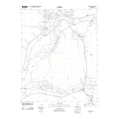
(12)- 2002 Map of San Juan Pueblo, 2003 Print
 2002 San Juan Pueblo2003 Print · USGSThe confluence of the Rio Grande and Rio Chama at the start of the twenty-first century reveals a landscape shaped by centuries of Spanish and Puebloan history. Researchers can locate the Old San Juan First Spanish Capitol 1598 and explore the irrigation networks of Alcalde and San Juan Pueblo.
 - 2002 Map of Espanola, 2003 Print
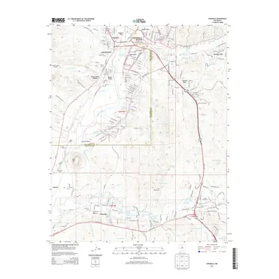
 2002 Espanola2003 Print · USGSNorthern New Mexico's Tewa pueblos and Spanish land grants are mapped here at the start of the millennium. Genealogists can locate family landmarks like the Iglesia de San Antonio de Padua, Santa Clara Pueblo, and the Capilla de Santo Niño de Atocha.
 - 2010 Map of Espanola, 2010 Print
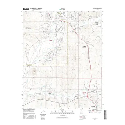
 2010 Espanola2010 Print · USGSCovers Espanola, including Española, Santa Cruz, and other nearby areas
 - 2011 Map of San Juan Pueblo, 2011 Print
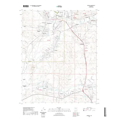
 2011 San Juan Pueblo2011 Print · USGSCovers Espanola, including Española, El Llano, and other nearby areas
 - 2013 Map of Espanola, 2013 Print
 2013 Espanola2013 Print · USGSCovers Espanola, including Española, Santa Cruz, and other nearby areas
 - 2013 Map of San Juan Pueblo, 2013 Print
 2013 San Juan Pueblo2013 Print · USGSCovers Espanola, including Española, El Llano, and other nearby areas
 - 2017 Map of San Juan Pueblo, 2017 Print
 2017 San Juan Pueblo2017 Print · USGSCovers Espanola, including Española, El Llano, and other nearby areas
 - 2017 Map of Espanola, 2017 Print
 2017 Espanola2017 Print · USGSCovers Espanola, including Española, Santa Cruz, and other nearby areas
 - 2020 Map of San Juan Pueblo, 2020 Print
 2020 San Juan Pueblo2020 Print · USGSCovers Espanola, including Española, El Llano, and other nearby areas
 - 2020 Map of Espanola, 2020 Print
 2020 Espanola2020 Print · USGSCovers Espanola, including Española, Santa Cruz, and other nearby areas
 - 2023 Map of Espanola, 2023 Print
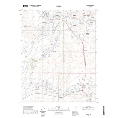 2023 Espanola2023 Print · USGSThe northern Rio Grande valley comes into sharp focus here, showing the enduring agricultural and tribal lands of Santa Clara Pueblo and San Ildefonso Pueblo. Researchers can trace the acequia systems and find local burial sites like Black Mesa Cem and El Rancho Catholic Cem.
 - 2023 Map of San Juan Pueblo, 2023 Print
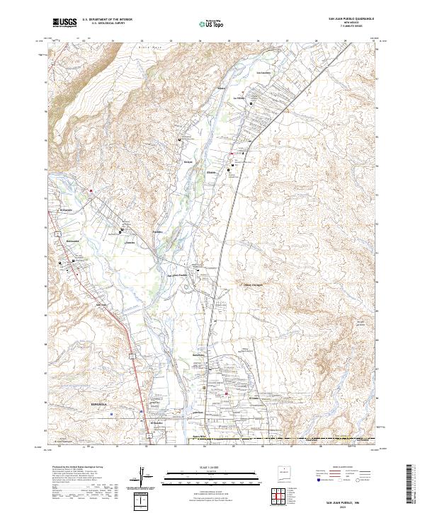 2023 San Juan Pueblo2023 Print · USGSThe Rio Grande valley north of Española remains a vital cultural crossroads where indigenous pueblos and Spanish colonial settlements meet. Family historians can trace local roots through numerous sites like San Pedro de Chamita Cem and the Hernandez Ditch.
End of results
Showing maps 1-12 of 12
Top cities near Espanola
- Los Alamos historical maps
- Española historical maps
- Española historical maps
- White Rock historical maps
- Santa Cruz historical maps
Top neighborhoods of Espanola
- Ranchitos historical maps
- Santo Niño historical maps
- San Pedro historical maps
- Fairview historical maps
- Santo Nino historical maps
- El Guacho historical maps
See more
Frequently asked questions
- What are the different types of historical maps available for Espanola?
- What is the oldest map of Espanola?
- Where can I purchase historical maps of Espanola for my home or office?
- Where can I download high-res historical maps of Espanola?
- Are there historical topographic maps available for Espanola?
- Is there historical aerial imagery available for Espanola?
- Where are historical maps of Espanola sourced from?