Old Maps of Guess Place, New Mexico for Genealogy
Trace your family roots with 10 historic maps of Guess Place. These high-res maps reveal old neighborhoods, homesites, landmarks, and streets — helping you uncover where your ancestors lived and how the area evolved over time.
- Explore historic neighborhoods: Identify where your relatives may have lived in the 1800s or 1900s.
- Compare maps over time: Trace the changes in streets, buildings, and landmarks for multi-generational research.
- Perfect for genealogy & ancestry research: Used by family historians and researchers to map out lineage and migration.
These maps are an incredible resource for exploring your personal connection to Guess Place's past.
Guess Place, NM maps
(10)- 1954 Map of Silver City, 1967 Print
 1954 Silver City1967 Print · USGSSoutheast Arizona and southwest New Mexico meet in this mid-century survey of the high desert and mountain mining districts. Local researchers can trace the rail lines through Lordsburg, the silver operations at Ash Peak Mines, and the limits of Fort Bayard Military Reservation.4 unique versions available
 - 1958 Map of Silver City
 1958 Silver City1958 Print · USGSSouthwestern New Mexico and eastern Arizona appear here in the mid-1950s, a period of intensive mining and rail activity. Trace the routes of the Southern Pacific RR through Lordsburg or locate historic operations at the Chino Mine and Santa Rita.
 - 1962 Map of Silver City
 1962 Silver City1962 Print · USGSThe high desert borderlands of New Mexico and Arizona come alive in this early sixties survey. Genealogists and historians can trace the mining economy through the Chino Mine, follow the rail routes of the Southern Pacific, or locate settlements like Virden and Bayard.
 - 1964 Map of Separ NE, 1966 Print
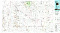
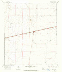 1964 Separ NE1966 Print · USGSGrant County ranching and rail infrastructure are captured here in the mid-sixties, showcasing a landscape of isolated homesteads and vital water tanks. Researchers can locate family landmarks like the Moore Homestead and trace the path of the Southern Pacific railroad.2 unique versions available
 - 1981 Map of Lordsburg
 1981 Lordsburg1981 Print · USGSHidalgo County in the early eighties remains a landscape defined by the copper-and-rail economy and the long stretch of the Continental Divide. Genealogists and historians can trace the paths of the Southern Pacific and small settlements like Cotton City or find remote workings such as the Golden Cross Mine.
 - 2010 Map of Separ NE, 2010 Print
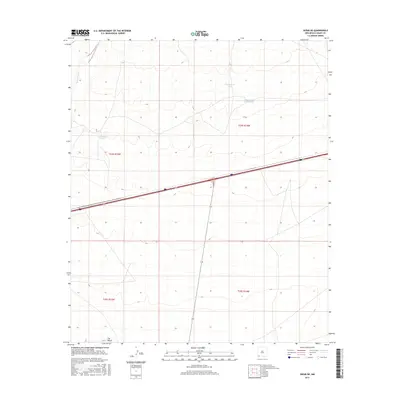
 2010 Separ NE2010 Print · USGSCovers Guess Place, including Grant County, United States, and other nearby areas
 - 2013 Map of Separ NE, 2013 Print
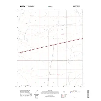
 2013 Separ NE2013 Print · USGSCovers Guess Place, including Grant County, United States, and other nearby areas
 - 2017 Map of Separ NE, 2017 Print
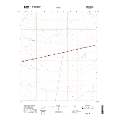
 2017 Separ NE2017 Print · USGSCovers Guess Place, including Grant County, United States, and other nearby areas
 - 2020 Map of Separ NE, 2020 Print
 2020 Separ NE2020 Print · USGSCovers Guess Place, including Grant County, United States, and other nearby areas
 - 2023 Map of Separ NE, 2023 Print
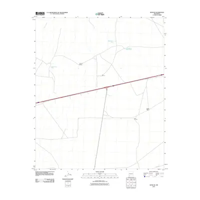
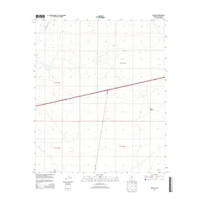
 2023 Separ NE2023 Print · USGSGrant County ranching and transit corridors are captured in this recent survey of the New Mexico desert. Researchers can trace the modern path of Highway 70 alongside historic water features like Sappington Tank and the wetlands of The Saltys.
End of results
Showing maps 1-10 of 10
Frequently asked questions
- What are the different types of historical maps available for Guess Place?
- What is the oldest map of Guess Place?
- Where can I purchase historical maps of Guess Place for my home or office?
- Where can I download high-res historical maps of Guess Place?
- Are there historical topographic maps available for Guess Place?
- Is there historical aerial imagery available for Guess Place?
- Where are historical maps of Guess Place sourced from?