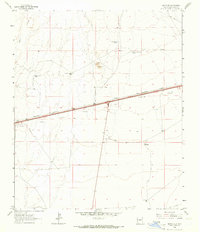
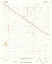
1964 Map of Separ NE
USGS Topo · Published 1966About this map
The Southern Pacific railroad corridor serves as the primary artery through this high-desert landscape in Grant County, where the infrastructure of cattle ranching and railway logistics defines the terrain. Recorded in the mid-1960s, the map reveals a pattern of isolated water sources essential for survival in this arid environment, such as Sappington Tank and Government Tank. Local settlement is represented by the Moore Homestead and named landmarks like the Bounds Four Section Windmill, reflecting the deep-rooted ranching history of the region. The map also documents the transition from railroad-dominated travel to modern highway development, with 2 Lane roads paralleling the tracks. Topographical interest is found at Whitecap and the Cienaga, while several Borrow Pits and a Quarry suggest the ongoing material needs of road and rail maintenance during this period.
Find a feature on this map
21 named features on this map. Tap any name to fly to it.
Don’t see what you’re looking for? This feature index may not catch every label — zoom into the map to look around manually.
Map Details
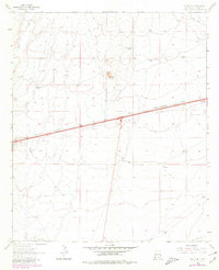
Editions of this 1964 Separ NE Map
2 editions found
Other maps of this area

1954 · Silver City
USGS Topo · 1:250,000

1958 · Silver City
USGS Topo · 1:250,000

1962 · Silver City
USGS Topo · 1:250,000

1962 · Ninetysix Ranch
USGS Topo · 1:24,000

1963 · Gage SW
USGS Topo · 1:24,000

1963 · Soldiers Farewell Hill
USGS Topo · 1:24,000

1963 · Gage NW
USGS Topo · 1:24,000
1963 · Grandmother Mountain West
USGS Topo · 1:24,000
1964 · The Saltys
USGS Topo · 1:24,000
1964 · Separ
USGS Topo · 1:24,000