Old Maps of Cotton Place, New Mexico for Hiking & Exploration
Hike through history with 9 historic maps of Cotton Place. Explore old trails, ghost towns, and forgotten backroads — perfect for outdoor adventurers and local explorers.
- Rediscover forgotten places: Map out old mining camps, roads, and footpaths that no longer exist on modern maps.
- Layer with modern tools: Combine with LiDAR or satellite views to plan hikes through historical terrain.
- Made for exploration: Popular among hikers, overlanders, and local history lovers.
Use these maps to find adventure and explore the hidden past of Cotton Place.
Cotton Place, NM maps
(9)- 1954 Map of Hobbs, 1963 Print
 1954 Hobbs1963 Print · USGSThe High Plains and Permian Basin transition is captured here at the height of the mid-century energy boom. Genealogists and industrial historians can trace the foundations of Humble City, locate the Potash Mine and Plant, and follow the Texas-New Mexico RR.2 unique versions available
 - 1958 Map of Hobbs
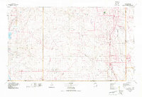
 1958 Hobbs1958 Print · USGSThe High Plains of the Texas-New Mexico border are shown here during the height of the mid-century oil boom. Genealogists and historians can trace the development of Hobbs, Lovington, and Jal, alongside ranching landmarks like James Ranch and the early Texas-New Mexico Railway.
 - 1973 Map of Paduca Breaks NW, 1975 Print
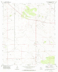 1973 Paduca Breaks NW1975 Print · USGSThe high desert along the New Mexico county line comes alive in the early 1970s as a hub for energy exploration. Researchers can trace the industrial footprint of the Double X Oil Field and locate isolated landmarks like Cotton Place and Jack Tank.
 - 1978 Map of Jal, 1979 Print
 1978 Jal1979 Print · USGSSoutheast New Mexico in the late seventies is a landscape shaped by energy production and the rugged Llano Estacado. Genealogists and industrial historians can trace the growth of Jal and Eunice along the Texas-New Mexico RR and across the Jal Oil Field.
 - 2010 Map of Paduca Breaks NW, 2010 Print
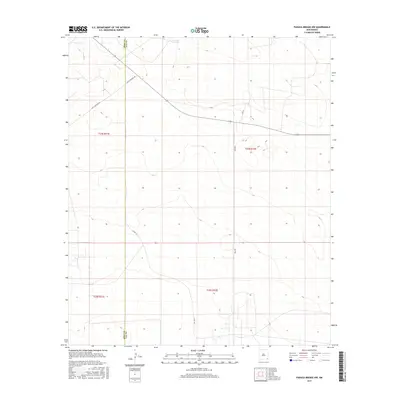
 2010 Paduca Breaks NW2010 Print · USGSCovers Cotton Place, including Lea County, Eddy County, and other nearby areas
 - 2013 Map of Paduca Breaks NW, 2013 Print
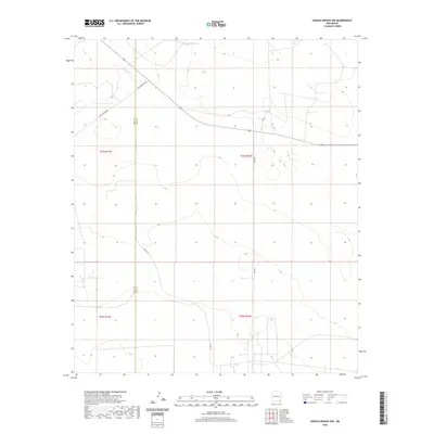
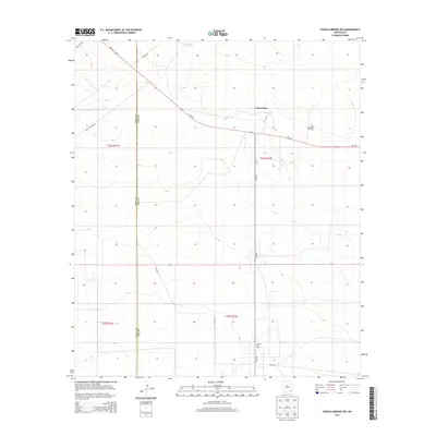 2013 Paduca Breaks NW2013 Print · USGSCovers Cotton Place, including Lea County, Eddy County, and other nearby areas
 - 2017 Map of Paduca Breaks NW, 2017 Print
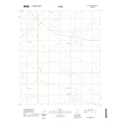
 2017 Paduca Breaks NW2017 Print · USGSCovers Cotton Place, including Lea County, Eddy County, and other nearby areas
 - 2020 Map of Paduca Breaks NW, 2020 Print
 2020 Paduca Breaks NW2020 Print · USGSCovers Cotton Place, including Lea County, Eddy County, and other nearby areas
 - 2023 Map of Paduca Breaks NW, 2023 Print
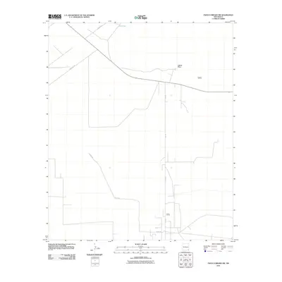
 2023 Paduca Breaks NW2023 Print · USGSThe high desert plains along the Eddy and Lea county border are captured here in the early twenty-first century. Researchers can trace the modern rural road network and water resources such as Jack Tank, Buck Johnson Rd, and Leo Ln.
End of results
Showing maps 1-9 of 9
Frequently asked questions
- What are the different types of historical maps available for Cotton Place?
- What is the oldest map of Cotton Place?
- Where can I purchase historical maps of Cotton Place for my home or office?
- Where can I download high-res historical maps of Cotton Place?
- Are there historical topographic maps available for Cotton Place?
- Is there historical aerial imagery available for Cotton Place?
- Where are historical maps of Cotton Place sourced from?