Old Maps of Halfway, New Mexico for Academic Research
Study the evolution of Halfway with 9 high-resolution historic maps. Whether you're teaching, researching, or modeling changes in land use, these maps provide essential visual documentation of urban, environmental, and geographic change.
- Analyze long-term change: Track patterns in development, transportation, and natural features.
- Ideal for environmental or urban studies: Support academic projects with primary historical map data.
- Use in the classroom or lab: Educators and researchers rely on these maps to bring historical context to life.
These maps are a powerful tool for teaching, research, and visualizing how Halfway has changed over the decades.
Halfway, NM maps
(9)- 1954 Map of Hobbs, 1963 Print
 1954 Hobbs1963 Print · USGSThe High Plains and Permian Basin transition is captured here at the height of the mid-century energy boom. Genealogists and industrial historians can trace the foundations of Humble City, locate the Potash Mine and Plant, and follow the Texas-New Mexico RR.2 unique versions available
 - 1958 Map of Hobbs
 1958 Hobbs1958 Print · USGSThe High Plains of the Texas-New Mexico border are shown here during the height of the mid-century oil boom. Genealogists and historians can trace the development of Hobbs, Lovington, and Jal, alongside ranching landmarks like James Ranch and the early Texas-New Mexico Railway.
 - 1963 Map of Laguna Gatuna, 1965 Print
 1963 Laguna Gatuna1965 Print · USGSThe high plains of Lea County are defined by industrial growth and desert ranching in the early sixties. Researchers can trace family ranch lands like Smith Ranch and Alfred Ranch alongside the sprawling Corbin Oil Field and the Hobbs Air Force Base Auxiliary Field No 4.2 unique versions available
 - 1984 Map of Laguna Gatuna
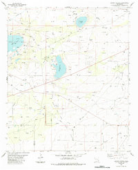 1984 Laguna Gatuna1984 Print · USGSThe high desert of the New Mexico state line is shown in the mid-1980s as a hub of energy production and salt basins. Researchers can trace the industrial footprint of the OIL FIELD and GAS FIELD alongside isolated landmarks like Salt Lake Ranch and Three Wells Windmill.
 - 2010 Map of Laguna Gatuna, 2010 Print
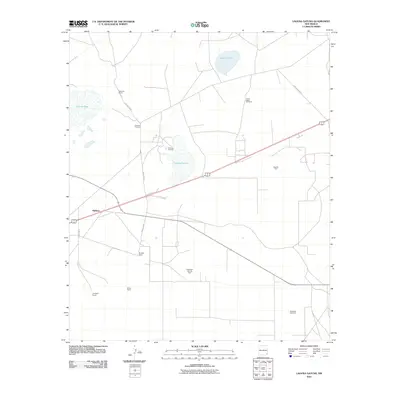 2010 Laguna Gatuna2010 Print · USGSLea County's high desert landscape appears here during a period of active ranching and energy production. Researchers can trace family-run operations like Campbell Ranch and Bingham Ranch or locate industrial sites such as the Salt Lake Oil Field.
 - 2013 Map of Laguna Gatuna, 2013 Print
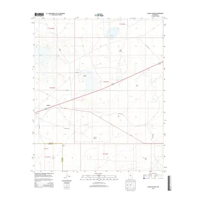 2013 Laguna Gatuna2013 Print · USGSThe desert frontier of Lea County was a landscape of ranching and energy extraction in the early 2010s. Researchers can locate remote outposts like Salt Lake Ranch and Halfway alongside the infrastructure of the Salt Lake Oil Field.
 - 2017 Map of Laguna Gatuna, 2017 Print
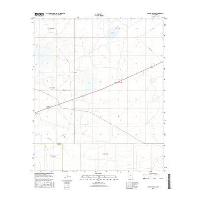 2017 Laguna Gatuna2017 Print · USGSThe high desert playas of Lea and Eddy counties are meticulously detailed in this recent study of the basin landscape. Researchers can trace local ranch routes like Goathead Rd and locate the dry lake beds of Laguna Gatuna and Laguna Plata near the settlement of Halfway.
 - 2020 Map of Laguna Gatuna, 2020 Print
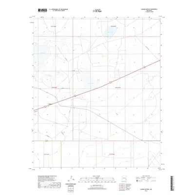 2020 Laguna Gatuna2020 Print · USGSSoutheastern New Mexico's ranching country is documented here at the turn of the decade, centered on the border of Lea and Eddy counties. Researchers can locate the settlement of Halfway and trace old routes like Smith Ranch Rd or Goathead Rd.
 - 2023 Map of Laguna Gatuna, 2023 Print
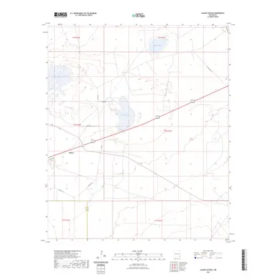 2023 Laguna Gatuna2023 Print · USGSThe high-desert border of Eddy and Lea County comes into focus in the early 2020s, showing a landscape defined by salt lakes and ranching roads. Researchers can trace local routes like Goathead Rd and Smith Ranch Rd near the settlement of Halfway.
End of results
Showing maps 1-9 of 9
Frequently asked questions
- What are the different types of historical maps available for Halfway?
- What is the oldest map of Halfway?
- Where can I purchase historical maps of Halfway for my home or office?
- Where can I download high-res historical maps of Halfway?
- Are there historical topographic maps available for Halfway?
- Is there historical aerial imagery available for Halfway?
- Where are historical maps of Halfway sourced from?