Old Maps of Lon, New Mexico for Academic Research
Study the evolution of Lon with 9 high-resolution historic maps. Whether you're teaching, researching, or modeling changes in land use, these maps provide essential visual documentation of urban, environmental, and geographic change.
- Analyze long-term change: Track patterns in development, transportation, and natural features.
- Ideal for environmental or urban studies: Support academic projects with primary historical map data.
- Use in the classroom or lab: Educators and researchers rely on these maps to bring historical context to life.
These maps are a powerful tool for teaching, research, and visualizing how Lon has changed over the decades.
Lon, NM maps
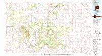
(9)- 1954 Map of Fort Sumner, 1964 Print
 1954 Fort Sumner1964 Print · USGSEast-central New Mexico's ranching and rail heartland is captured here in the mid-1950s, centered on the strategic junctions of the high plains. Researchers can trace the development of early highway networks and rail towns like Vaughn, Fort Sumner, and the copper operations at Guadalupe Mine.3 unique versions available
 - 1958 Map of Fort Sumner
 1958 Fort Sumner1958 Print · USGSEast-central New Mexico in the mid-fifties is captured here as a sprawling landscape of high mesas and cattle ranching. Researchers can trace the convergence of the Southern Pacific railroad at Vaughn and locate family landmarks like Borica School or Marquez Ranch.
 - 1980 Map of Corona, 1981 Print
 1980 Corona1981 Print · USGSThe high-desert ranching and rail country of Lincoln County is documented here during the early eighties. Genealogists and local historians can trace the Southern Pacific line through Corona, locate the Old Railroad Grade, and find remote outposts like Claunch and Gallinas.
 - 1981 Map of Cowboy Mesa NE
 1981 Cowboy Mesa NE1981 Print · USGSLincoln County ranching life in the late twentieth century was defined by isolated outposts and high-desert water management. Researchers can trace family-named landmarks and essential infrastructure like Kuykendall Well, the local Cem, and Ditch Lake.
 - 2010 Map of Cowboy Mesa NE, 2010 Print
 2010 Cowboy Mesa NE2010 Print · USGSCovers Lon, including Lincoln County, United States, and other nearby areas
 - 2013 Map of Cowboy Mesa NE, 2013 Print
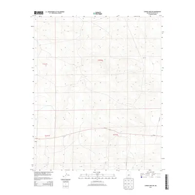 2013 Cowboy Mesa NE2013 Print · USGSCovers Lon, including Lincoln County, United States, and other nearby areas
 - 2017 Map of Cowboy Mesa NE, 2017 Print
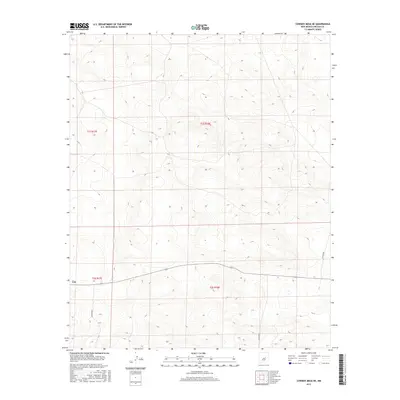 2017 Cowboy Mesa NE2017 Print · USGSCovers Lon, including Lincoln County, United States, and other nearby areas
 - 2020 Map of Cowboy Mesa NE, 2020 Print
 2020 Cowboy Mesa NE2020 Print · USGSCovers Lon, including Lincoln County, United States, and other nearby areas
 - 2023 Map of Cowboy Mesa NE, 2023 Print
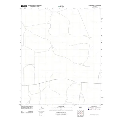
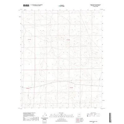
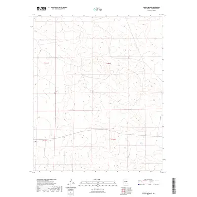 2023 Cowboy Mesa NE2023 Print · USGSHigh mesa country in Lincoln County is captured in this recent survey, showing the late-period infrastructure of a sparse ranching landscape. Researchers can trace rural access routes like Co Rd B020 and Co Rd B048 across major township boundaries.
End of results
Showing maps 1-9 of 9
Frequently asked questions
- What are the different types of historical maps available for Lon?
- What is the oldest map of Lon?
- Where can I purchase historical maps of Lon for my home or office?
- Where can I download high-res historical maps of Lon?
- Are there historical topographic maps available for Lon?
- Is there historical aerial imagery available for Lon?
- Where are historical maps of Lon sourced from?