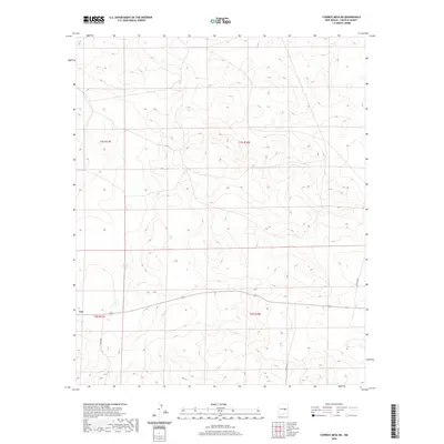
2020 Map of Cowboy Mesa NE
USGS Topo · Published 2020About this map
The settlement of Lon anchors this portion of Lincoln County, situated in an area of high plains and mesas where township boundaries like t1s r17e and t2s r18e organize the landscape into a distinct grid. In 2020, this region remained defined by its rural accessibility and sparse development, with long-distance travel and property access relying on routes such as Co Rd 8020, Co Rd 8021, and Co Rd 8048. The mapping reveals a terrain where traditional land divisions still dictate the layout of modern county roads, reflecting a continuity of western land management that persists into the 21st century.
Find a feature on this map
8 named features on this map. Tap any name to fly to it.
Don’t see what you’re looking for? This feature index may not catch every label — zoom into the map to look around manually.
Map Details
Editions of this 2020 Cowboy Mesa NE Map
This is the sole edition of this map. No revisions or reprints were ever made.
Other maps of this area

1954 · Fort Sumner
USGS Topo · 1:250,000

1958 · Fort Sumner
USGS Topo · 1:250,000

1967 · Ramon
USGS Topo · 1:24,000

1967 · Ramon SW
USGS Topo · 1:24,000

1979 · Fort Sumner
USGS Topo · 1:100,000

1980 · Corona
USGS Topo · 1:100,000

1981 · Loco Draw
USGS Topo · 1:24,000

1981 · Cowboy Mesa NE
USGS Topo · 1:24,000

1981 · Gacho Hill SW
USGS Topo · 1:24,000

1981 · Cowboy Mesa SW
USGS Topo · 1:24,000