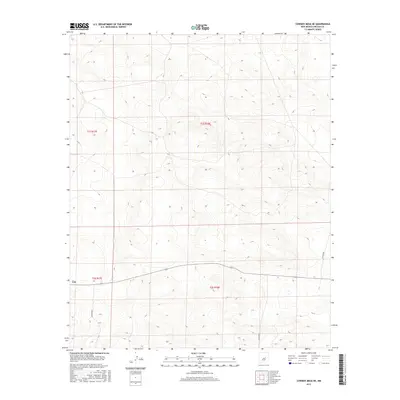
2017 Map of Cowboy Mesa NE
USGS Topo · Published 2017About this map
The settlement of Lon sits at the southwestern edge of this high-plains terrain in Lincoln County, reflecting the sparse habitation typical of this region's ranching landscape. The area is defined by a rigorous grid of the Public Land Survey System, spanning townships t1s r17e, t1s r18e, t2s r17e, and t2s r18e. Modern connectivity is provided by a network of county thoroughfares, including Co Rd 8020, Co Rd 8021, and Co Rd 8048, which cut across the dramatic topography of the mesa. This 2017 survey records the land use patterns where vast open sections are punctuated by occasional drainage features and technical elevation contours, illustrating how the natural mesa landforms dictate the placement of roads and the single named outpost of Lon.
Find a feature on this map
8 named features on this map. Tap any name to fly to it.
Don’t see what you’re looking for? This feature index may not catch every label — zoom into the map to look around manually.
Map Details
Editions of this 2017 Cowboy Mesa NE Map
This is the sole edition of this map. No revisions or reprints were ever made.
Other maps of this area

1954 · Fort Sumner
USGS Topo · 1:250,000

1958 · Fort Sumner
USGS Topo · 1:250,000

1967 · Ramon
USGS Topo · 1:24,000

1967 · Ramon SW
USGS Topo · 1:24,000

1979 · Fort Sumner
USGS Topo · 1:100,000

1980 · Corona
USGS Topo · 1:100,000

1981 · Loco Draw
USGS Topo · 1:24,000

1981 · Cowboy Mesa NE
USGS Topo · 1:24,000

1981 · Gacho Hill SW
USGS Topo · 1:24,000

1981 · Cowboy Mesa SW
USGS Topo · 1:24,000