Old Maps of Riverside, New Mexico for Metal Detecting
Plan your next treasure hunt with 11 historic maps of Riverside. Find old homesites, ghost towns, trails, and gathering spots that may be lost to time — perfect for identifying promising metal detecting locations.
- Locate forgotten sites: Uncover places like long-lost settlements, abandoned rail lines, or gathering spots.
- Plan better hunts: Use map overlays combined with LiDAR or satellite views to narrow in on historically rich areas.
- Made for detectorists: Thousands of hobbyists use these maps to discover relics, coins, and hidden history.
Use these historic maps to boost your research and find new opportunities beneath the surface of Riverside.
Riverside, NM maps
(11)- 1955 Map of Roswell, 1974 Print
 1955 Roswell1974 Print · USGSSoutheastern New Mexico is shown in transition during the mid-fifties, from the Pecos Valley ranching hubs to the high timber of the Sacramento Mountains. Researchers can trace the Atchison Topeka and Santa Fe RR through Roswell and Hagerman or locate the old barracks at Ft Stanton.3 unique versions available
 - 1958 Map of Roswell
 1958 Roswell1958 Print · USGSThe High Plains and mountain peaks of New Mexico are captured here during the mid-fifties, showing the region before the closure of Walker Air Force Base. Researchers can trace the ranching and rail landscape from Lincoln to the Pecos River valley through Hagerman and Lake Arthur.
 - 1961 Map of Tinnie, 1964 Print
 1961 Tinnie1964 Print · USGSRanching life and riverbank settlements define this Lincoln County landscape in the early sixties. Researchers can trace family holdings like Nelson Ranch and Purcell Ranch or locate the old Cem at Tinnie and Picacho along the Rio Hondo.2 unique versions available
 - 1962 Map of Roswell
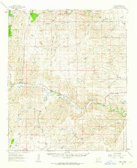
 1962 Roswell1962 Print · USGSSoutheastern New Mexico in the early sixties shows a landscape defined by high mountain peaks and a growing military presence at Roswell. Genealogists and historians can trace the roads connecting Fort Stanton, Capitan, and the Mescalero Apache Indian Reservation.
 - 1984 Map of Ruidoso
 1984 Ruidoso1984 Print · USGSThe high country of the Sierra Blanca and the Lincoln National Forest are captured here in the mid-eighties as tourism and traditional land use converged. Local historians can trace the Old Military Reservation Boundary, find historic workings like the Parsons Mine, or locate small communities such as Glencoe and Whitetail.
 - 1988 Map of Sunset, 1989 Print
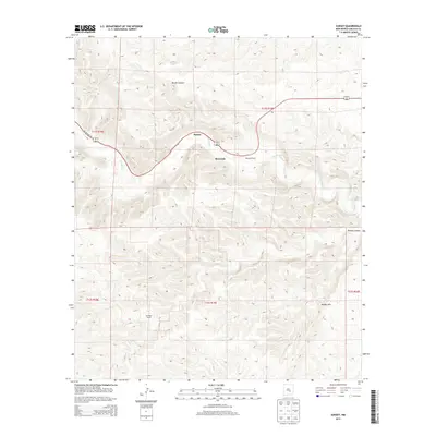
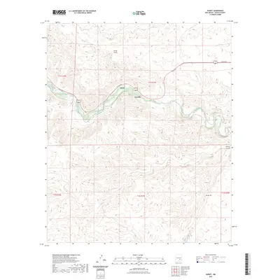
 1988 Sunset1989 Print · USGSLincoln County in the late eighties shows a landscape focused on the Rio Hondo valley. Genealogists and researchers can trace the small settlements of Sunset and Riverside or locate landmarks like the Roadside Park and Bonney Canyon.
 - 2010 Map of Sunset, 2010 Print
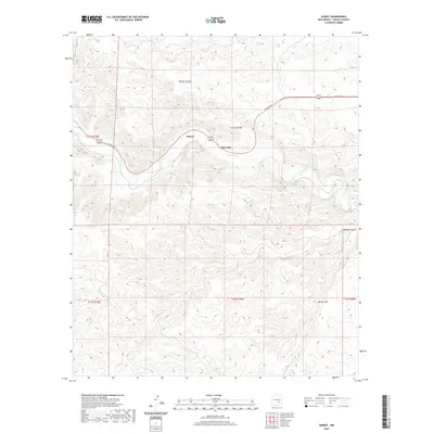
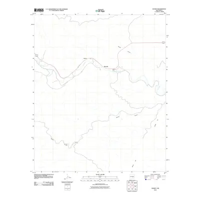 2010 Sunset2010 Print · USGSCovers Riverside, including Sunset, Lincoln County, and other nearby areas
 - 2013 Map of Sunset, 2013 Print
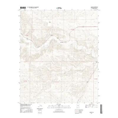
 2013 Sunset2013 Print · USGSCovers Riverside, including Sunset, Lincoln County, and other nearby areas
 - 2017 Map of Sunset, 2017 Print
 2017 Sunset2017 Print · USGSCovers Riverside, including Sunset, Lincoln County, and other nearby areas
 - 2020 Map of Sunset, 2020 Print
 2020 Sunset2020 Print · USGSCovers Riverside, including Sunset, Lincoln County, and other nearby areas
 - 2023 Map of Sunset, 2023 Print
 2023 Sunset2023 Print · USGSLincoln County's river-valley settlements are captured in this modern survey of the high desert landscape. Genealogists and local historians can trace the relationship between Rio Hondo and the nearby communities of Sunset and Riverside.
End of results
Showing maps 1-11 of 11
Frequently asked questions
- What are the different types of historical maps available for Riverside?
- What is the oldest map of Riverside?
- Where can I purchase historical maps of Riverside for my home or office?
- Where can I download high-res historical maps of Riverside?
- Are there historical topographic maps available for Riverside?
- Is there historical aerial imagery available for Riverside?
- Where are historical maps of Riverside sourced from?