2000s (21st Century) Maps of Timberon, New Mexico
Explore 18 historic maps of Timberon from the 2000s (21st Century). These maps offer a rare glimpse into what life looked like during the 2000s — showing old roads, neighborhoods, homes, and landmarks that have changed or disappeared over time.
Whether you're researching your family's past, planning a metal detecting trip, or studying how Timberon's landscape evolved across the 2000s, these high-resolution maps are a powerful tool for exploring the history of this region.
- Focus on a specific era: All maps on this page are from the 2000s, giving you a focused view of this time period.
- See what’s changed: Compare century-old streets, trails, and buildings to today's modern landscape using overlays and satellite layers.
- Research with precision: Use these maps for genealogy, historical research, land use analysis, or educational projects.
- View, download, or print: Maps are fully viewable online in high resolution, and can be downloaded or printed for your own records.
Start exploring Timberon's history through authentic maps from the 2000s. This is your window into the past.
Timberon, NM maps
(18)- 2004 Map of Bug Scuffle Canyon, 2006 Print
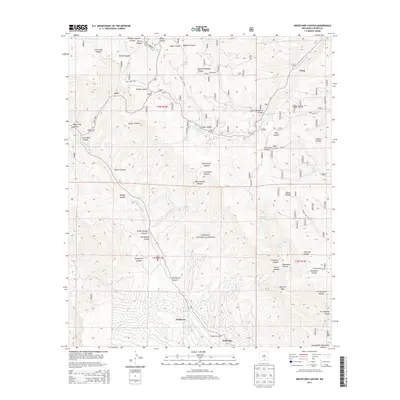
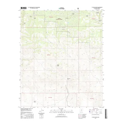
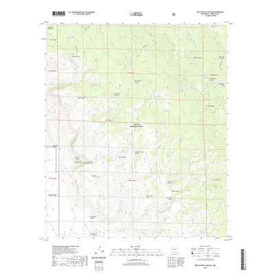
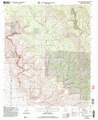 2004 Bug Scuffle Canyon2006 Print · USGSThe Sacramento Mountains meet military territory in the early 2000s, where national forest land borders the McGregor Range. Researchers can trace historic land use through sites like Bug Scuffle Ranch, the Sacramento Lookout, and the remote Langford Trail.
 - 2004 Map of El Paso Canyon, 2006 Print
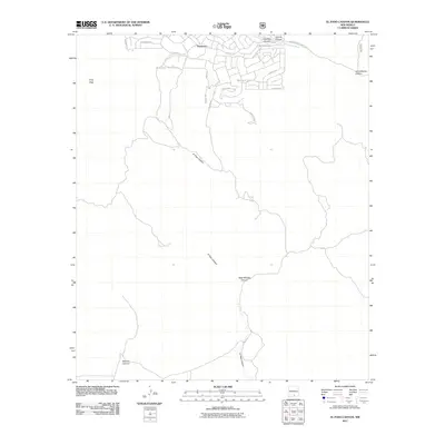
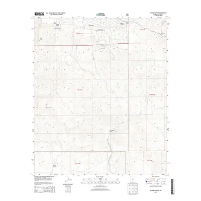
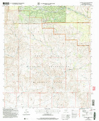 2004 El Paso Canyon2006 Print · USGSOtero County highland terrain meets restricted military lands in the early 2000s where the forest transitions into the desert. Trace the remote settlement of Timberon and navigate the high-country drainages of El Paso Canyon and the Sacramento River.
 - 2004 Map of Graveyard Canyon, 2006 Print
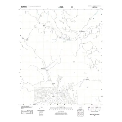
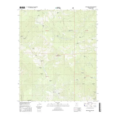
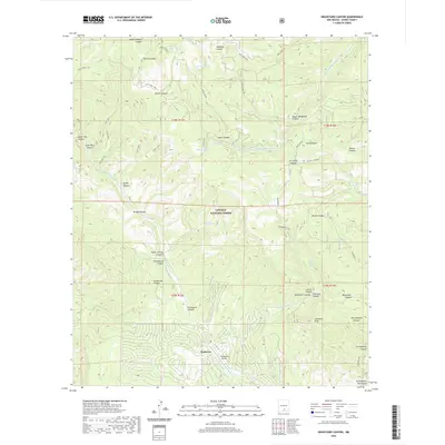
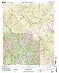 2004 Graveyard Canyon2006 Print · USGSThe Sacramento Mountains of Otero County are mapped here in the early 2000s, showing a landscape of forest reserves and high-country ranching. Researchers can locate remote homesteads like Fairchild Ranch, the community of Timberon, and markers like Herman Monument.
 - 2011 Map of Bug Scuffle Canyon, 2011 Print
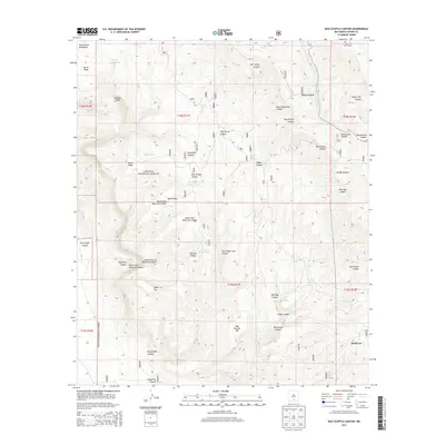
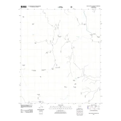 2011 Bug Scuffle Canyon2011 Print · USGSCovers Timberon, including Otero County, United States, and other nearby areas
 - 2011 Map of Graveyard Canyon, 2011 Print
 2011 Graveyard Canyon2011 Print · USGSCovers Timberon, including Crisp, Otero County, and other nearby areas
 - 2011 Map of El Paso Canyon, 2011 Print
 2011 El Paso Canyon2011 Print · USGSCovers Timberon, including Otero County, United States, and other nearby areas
 - 2013 Map of Graveyard Canyon, 2013 Print
 2013 Graveyard Canyon2013 Print · USGSCovers Timberon, including Crisp, Otero County, and other nearby areas
 - 2013 Map of Bug Scuffle Canyon, 2013 Print
 2013 Bug Scuffle Canyon2013 Print · USGSCovers Timberon, including Otero County, United States, and other nearby areas
 - 2013 Map of El Paso Canyon, 2013 Print
 2013 El Paso Canyon2013 Print · USGSCovers Timberon, including Otero County, United States, and other nearby areas
 - 2017 Map of El Paso Canyon, 2017 Print
 2017 El Paso Canyon2017 Print · USGSCovers Timberon, including Otero County, United States, and other nearby areas
 - 2017 Map of Bug Scuffle Canyon, 2017 Print
 2017 Bug Scuffle Canyon2017 Print · USGSCovers Timberon, including Otero County, United States, and other nearby areas
 - 2017 Map of Graveyard Canyon, 2017 Print
 2017 Graveyard Canyon2017 Print · USGSCovers Timberon, including Crisp, Otero County, and other nearby areas
 - 2020 Map of El Paso Canyon, 2020 Print
 2020 El Paso Canyon2020 Print · USGSCovers Timberon, including Otero County, United States, and other nearby areas
 - 2020 Map of Bug Scuffle Canyon, 2020 Print
 2020 Bug Scuffle Canyon2020 Print · USGSCovers Timberon, including Otero County, United States, and other nearby areas
 - 2020 Map of Graveyard Canyon, 2020 Print
 2020 Graveyard Canyon2020 Print · USGSCovers Timberon, including Crisp, Otero County, and other nearby areas
 - 2023 Map of El Paso Canyon, 2023 Print
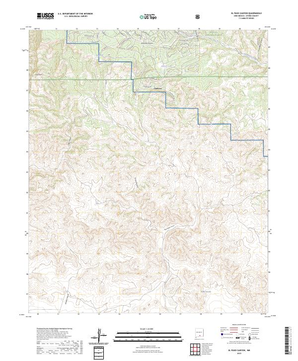 2023 El Paso Canyon2023 Print · USGSThe Sacramento Mountains are captured in this modern survey, highlighting the residential growth of Timberon against the backdrop of federal lands. Genealogists and historians can trace property boundaries near Fort Bliss and landmarks like Culp Peak.
 - 2023 Map of Bug Scuffle Canyon, 2023 Print
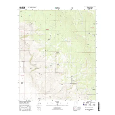
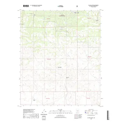
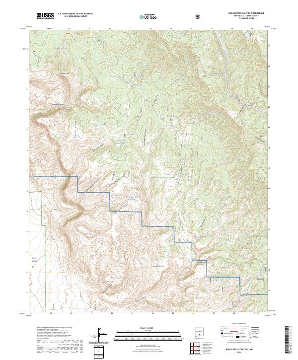 2023 Bug Scuffle Canyon2023 Print · USGSOtero County's high-country canyons and forest lands are captured here in the early twenty-first century. Researchers can trace land use near Timberon, locate remote water sources like Wild Boy Spring, and explore the rugged Bug Scuffle Canyon.
 - 2023 Map of Graveyard Canyon, 2023 Print
 2023 Graveyard Canyon2023 Print · USGSThe Sacramento Mountains are documented here in the early 2020s, showing the remote settlement of Timberon as it interfaces with the Lincoln National Forest. Researchers can trace the community's layout near Timberon Airport and locate springs like Bear Wallow Spring or Sulfur Spring.
End of results
Showing maps 1-18 of 18
Top cities near Timberon
Frequently asked questions
- What are the different types of historical maps available for Timberon?
- What is the oldest map of Timberon?
- Where can I purchase historical maps of Timberon for my home or office?
- Where can I download high-res historical maps of Timberon?
- Are there historical topographic maps available for Timberon?
- Is there historical aerial imagery available for Timberon?
- Where are historical maps of Timberon sourced from?