Old Maps of Timberon, New Mexico for Hiking & Exploration
Hike through history with 25 historic maps of Timberon. Explore old trails, ghost towns, and forgotten backroads — perfect for outdoor adventurers and local explorers.
- Rediscover forgotten places: Map out old mining camps, roads, and footpaths that no longer exist on modern maps.
- Layer with modern tools: Combine with LiDAR or satellite views to plan hikes through historical terrain.
- Made for exploration: Popular among hikers, overlanders, and local history lovers.
Use these maps to find adventure and explore the hidden past of Timberon.
Timberon, NM maps
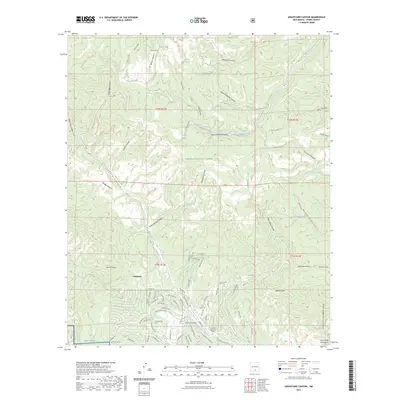
(25)- 1950 Map of Escondido Canyon, 1954 Print
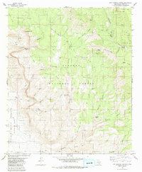
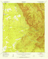 1950 Escondido Canyon1954 Print · USGSOtero County's high desert and mountain slopes are captured here in the mid-century, featuring the transition from the rail-centered basin to the Lincoln National Forest. Genealogists and historians can trace the site of Sacramento City (Abandoned) and ranching landmarks like McCracken Ranch.2 unique versions available
 - 1954 Map of Carlsbad, 1963 Print
 1954 Carlsbad1963 Print · USGSSoutheastern New Mexico's desert peaks and river valleys appear in this mid-century study of the borderlands. Researchers can locate vanished sites like Sacramento City, trace the Pecos River reservoirs, and explore Carlsbad Caverns.3 unique versions available
 - 1958 Map of Carlsbad
 1958 Carlsbad1958 Print · USGSSoutheastern New Mexico in the mid-1950s shows a landscape of deep desert basins and high forest ranges during a period of steady ranching and early tourism. Researchers can trace the path of the Atchison Topeka and Santa Fe railroad or find vanished locales like Sacramento City (abandoned) and Whites City.2 unique versions available
 - 1965 Map of Rogers Ruins, 1968 Print
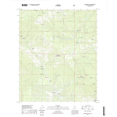
 1965 Rogers Ruins1968 Print · USGSOtero County ranching and forest lands are documented here in the mid-sixties, showing the high-country landscape before modern development. Genealogists and hikers can trace old family holdings like Circle Cross Ranch or locate the namesake Rogers Ruins.
 - 1965 Map of El Paso Canyon, 1968 Print
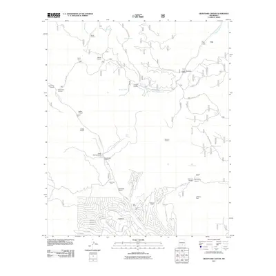
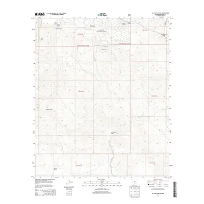
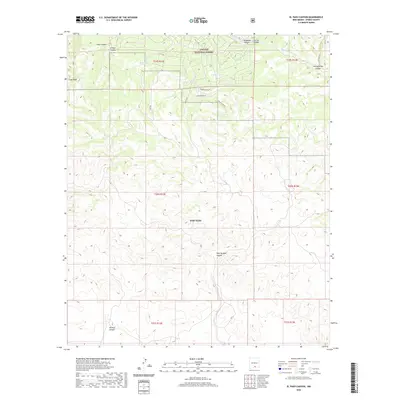
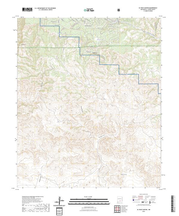
 1965 El Paso Canyon1968 Print · USGSOtero County, New Mexico, is depicted here in the mid-1960s at the intersection of federal forest and military lands. Researchers can trace the rugged boundaries of the Fort Bliss Military Reservation and find remote landmarks like Gulp Peak and Womack Tank.2 unique versions available
 - 1979 Map of Alamogordo
 1979 Alamogordo1979 Print · USGSThe high Sacramento Mountains and the Tularosa Valley floor meet in the late seventies, showing the region's unique mix of scientific research and military land use. Genealogists and historians can trace routes to Cloudcroft, the Solar Observatory, and the McGregor Range.
 - 1981 Map of Bug Scuffle Canyon, 1982 Print
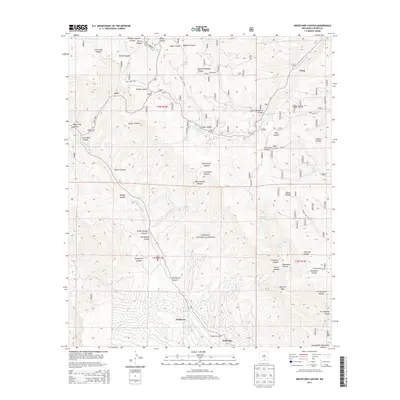
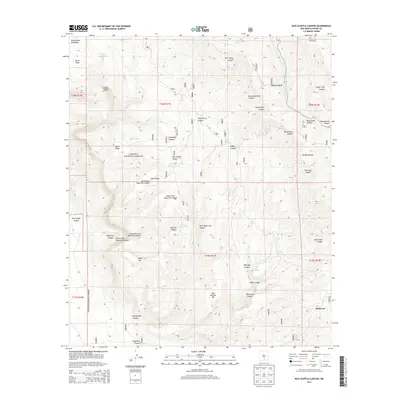
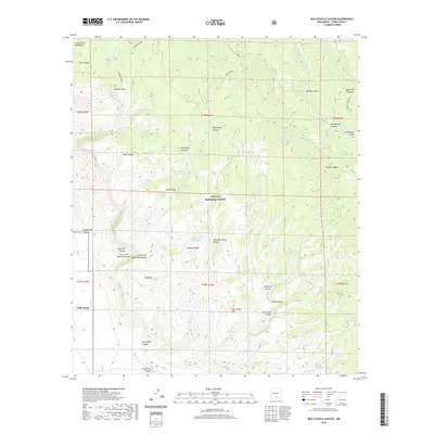
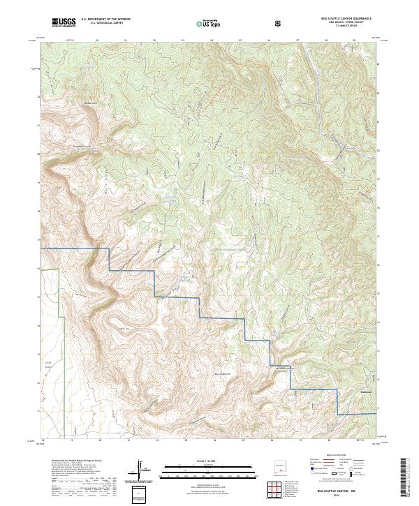
 1981 Bug Scuffle Canyon1982 Print · USGSThe Otero County backcountry in the early eighties was a rugged expanse of high timber and military ranges. Researchers can trace land use patterns between the Sacramento Side Camp and landmarks like Bug Scuffle Hill or the Lookout Tower Sacramento.
 - 2004 Map of Bug Scuffle Canyon, 2006 Print
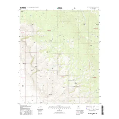
 2004 Bug Scuffle Canyon2006 Print · USGSThe Sacramento Mountains meet military territory in the early 2000s, where national forest land borders the McGregor Range. Researchers can trace historic land use through sites like Bug Scuffle Ranch, the Sacramento Lookout, and the remote Langford Trail.
 - 2004 Map of El Paso Canyon, 2006 Print
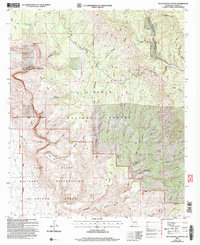
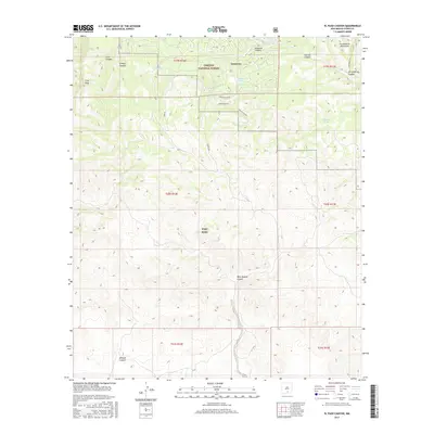
 2004 El Paso Canyon2006 Print · USGSOtero County highland terrain meets restricted military lands in the early 2000s where the forest transitions into the desert. Trace the remote settlement of Timberon and navigate the high-country drainages of El Paso Canyon and the Sacramento River.
 - 2004 Map of Graveyard Canyon, 2006 Print
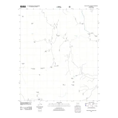
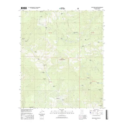
 2004 Graveyard Canyon2006 Print · USGSThe Sacramento Mountains of Otero County are mapped here in the early 2000s, showing a landscape of forest reserves and high-country ranching. Researchers can locate remote homesteads like Fairchild Ranch, the community of Timberon, and markers like Herman Monument.
 - 2011 Map of Bug Scuffle Canyon, 2011 Print
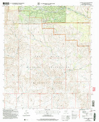
 2011 Bug Scuffle Canyon2011 Print · USGSCovers Timberon, including Otero County, United States, and other nearby areas
 - 2011 Map of Graveyard Canyon, 2011 Print
 2011 Graveyard Canyon2011 Print · USGSCovers Timberon, including Crisp, Otero County, and other nearby areas
 - 2011 Map of El Paso Canyon, 2011 Print
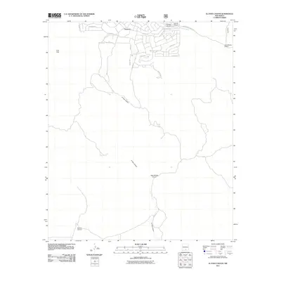 2011 El Paso Canyon2011 Print · USGSCovers Timberon, including Otero County, United States, and other nearby areas
 - 2013 Map of Graveyard Canyon, 2013 Print
 2013 Graveyard Canyon2013 Print · USGSCovers Timberon, including Crisp, Otero County, and other nearby areas
 - 2013 Map of Bug Scuffle Canyon, 2013 Print
 2013 Bug Scuffle Canyon2013 Print · USGSCovers Timberon, including Otero County, United States, and other nearby areas
 - 2013 Map of El Paso Canyon, 2013 Print
 2013 El Paso Canyon2013 Print · USGSCovers Timberon, including Otero County, United States, and other nearby areas
 - 2017 Map of El Paso Canyon, 2017 Print
 2017 El Paso Canyon2017 Print · USGSCovers Timberon, including Otero County, United States, and other nearby areas
 - 2017 Map of Bug Scuffle Canyon, 2017 Print
 2017 Bug Scuffle Canyon2017 Print · USGSCovers Timberon, including Otero County, United States, and other nearby areas
 - 2017 Map of Graveyard Canyon, 2017 Print
 2017 Graveyard Canyon2017 Print · USGSCovers Timberon, including Crisp, Otero County, and other nearby areas
 - 2020 Map of El Paso Canyon, 2020 Print
 2020 El Paso Canyon2020 Print · USGSCovers Timberon, including Otero County, United States, and other nearby areas
 - 2020 Map of Bug Scuffle Canyon, 2020 Print
 2020 Bug Scuffle Canyon2020 Print · USGSCovers Timberon, including Otero County, United States, and other nearby areas
 - 2020 Map of Graveyard Canyon, 2020 Print
 2020 Graveyard Canyon2020 Print · USGSCovers Timberon, including Crisp, Otero County, and other nearby areas
 - 2023 Map of El Paso Canyon, 2023 Print
 2023 El Paso Canyon2023 Print · USGSThe Sacramento Mountains are captured in this modern survey, highlighting the residential growth of Timberon against the backdrop of federal lands. Genealogists and historians can trace property boundaries near Fort Bliss and landmarks like Culp Peak.
 - 2023 Map of Bug Scuffle Canyon, 2023 Print
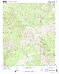
 2023 Bug Scuffle Canyon2023 Print · USGSOtero County's high-country canyons and forest lands are captured here in the early twenty-first century. Researchers can trace land use near Timberon, locate remote water sources like Wild Boy Spring, and explore the rugged Bug Scuffle Canyon.
 - 2023 Map of Graveyard Canyon, 2023 Print
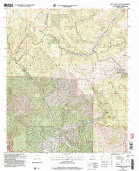
 2023 Graveyard Canyon2023 Print · USGSThe Sacramento Mountains are documented here in the early 2020s, showing the remote settlement of Timberon as it interfaces with the Lincoln National Forest. Researchers can trace the community's layout near Timberon Airport and locate springs like Bear Wallow Spring or Sulfur Spring.
End of results
Showing maps 1-25 of 25
Top cities near Timberon
Frequently asked questions
- What are the different types of historical maps available for Timberon?
- What is the oldest map of Timberon?
- Where can I purchase historical maps of Timberon for my home or office?
- Where can I download high-res historical maps of Timberon?
- Are there historical topographic maps available for Timberon?
- Is there historical aerial imagery available for Timberon?
- Where are historical maps of Timberon sourced from?