Old Maps of La Cuchilla, New Mexico for Genealogy
Trace your family roots with 13 historic maps of La Cuchilla. These high-res maps reveal old neighborhoods, homesites, landmarks, and streets — helping you uncover where your ancestors lived and how the area evolved over time.
- Explore historic neighborhoods: Identify where your relatives may have lived in the 1800s or 1900s.
- Compare maps over time: Trace the changes in streets, buildings, and landmarks for multi-generational research.
- Perfect for genealogy & ancestry research: Used by family historians and researchers to map out lineage and migration.
These maps are an incredible resource for exploring your personal connection to La Cuchilla's past.
La Cuchilla, NM maps
(13)- 1918 Map of Abiquiu
 1918 Abiquiu1918 Print · USGSUpper Rio Arriba County comes alive in the years following the Great War, showing a network of historic land grants and riverside villages. Researchers can trace the path of the D. and R. G. R. R. or locate ancestral roots in Abiquiu, Vallecitos, and San Juan.
 - 1953 Map of Chili, 1954 Print
 1953 Chili1954 Print · USGSNorthern New Mexico's Rio Chama valley is shown here in the mid-fifties, dominated by the huge Juan Jose Lobato Grant and tribal lands. Genealogists and historians can trace local life at Chili, locate the Immaculate Conception Ch, or find industrial sites like the Pumice Pit.3 unique versions available
 - 1953 Map of San Juan Pueblo, 1956 Print
 1953 San Juan Pueblo1956 Print · USGSRio Arriba County life in the mid-fifties is centered on the fertile confluence of the Rio Chama and Rio Grande. Local history researchers can trace ancestral roots through the numerous land grants, old irrigation Ditch lines, and early sites like San Juan Pueblo, Hernandez, and Los Luceros.2 unique versions available
 - 1954 Map of Aztec, 1975 Print
 1954 Aztec1975 Print · USGSNorthern New Mexico and southern Colorado come alive in the mid-1950s, showing the high-country settlements and tribal lands of the San Juan Basin. Genealogists and historians can trace the path of the Denver & Rio Grande Western RR and locate communities like Abiquiu, Park View, and Lumberton.4 unique versions available
 - 1958 Map of Aztec
 1958 Aztec1958 Print · USGSNorthern New Mexico and the southern Colorado border are captured here during the mid-fifties, showing the rugged intersection of national forests and tribal lands. Researchers can trace the Denver and Rio Grande Western rail line and locate remote outposts like Blanco Trading Post or Sargent Ranch.
 - 1962 Map of Aztec
 1962 Aztec1962 Print · USGSNorthwestern New Mexico in the early sixties showcases a landscape defined by the arrival of the Navajo Reservoir and the high-altitude timber of the Carson National Forest. Trace the path of the Denver & Rio Grande Western RR or locate historic settlements like Tierra Amarilla and Gobernador.
 - 1965 Map of Aztec
 1965 Aztec1965 Print · USGSNorthern New Mexico and southern Colorado come alive in the mid-sixties, from the San Juan Basin to the high Jemez Mountains. Trace the narrow-gauge Denver & Rio Grande Western RR through Monero or locate old outposts like Blanco Trading Post.
 - 2002 Map of Chili, 2003 Print
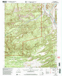 2002 Chili2003 Print · USGSThe Rio Chama valley in northern New Mexico is shown at the start of the 21st century, revealing traditional land grant boundaries and river-fed agriculture. Researchers can trace local landmarks like Chili, the Immaculate Conception Ch, and the nearby Pumice Pits.
 - 2011 Map of Chili, 2011 Print
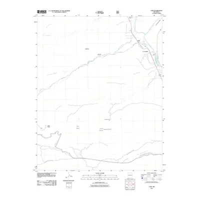 2011 Chili2011 Print · USGSThe Rio Chama valley in northern New Mexico shows a landscape of small river settlements and active mineral extraction in the early 2010s. Researchers can trace land use through the Santa Clara Pumice Pit 2, the Cupar Mine, and the boundary of the Santa Clara Indian Reservation.
 - 2013 Map of Chili, 2013 Print
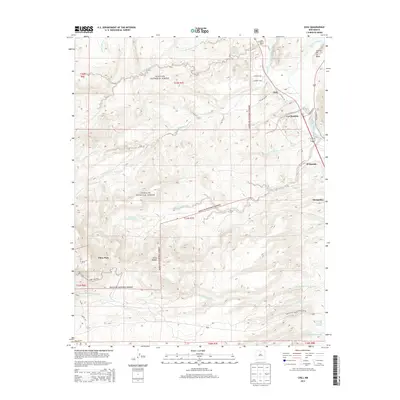 2013 Chili2013 Print · USGSRio Arriba County in the early twenty-first century reveals a landscape where river life meets high forest. Genealogists and historians can trace family-named sites from El Palacio Ranch to the riverside settlements of Chili, El Duende, and La Chuachia.
 - 2017 Map of Chili, 2017 Print
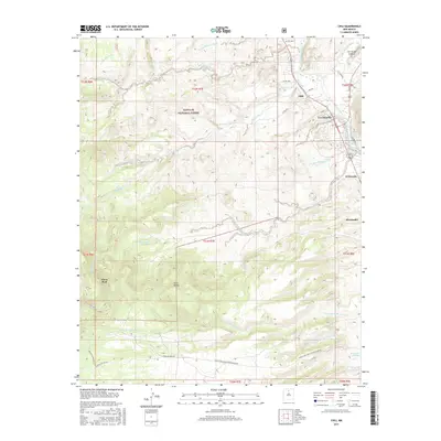 2017 Chili2017 Print · USGSThe river valley settlements of Rio Arriba County are captured here in the late twenty-tens, showing the intersection of forest, reservation, and riparian lands. Tracing the Rio Chama, researchers can locate irrigation features like Chili Ditch and landmarks such as Cerrito de la Baca.
 - 2020 Map of Chili, 2020 Print
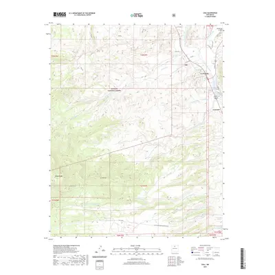 2020 Chili2020 Print · USGSNorthern New Mexico's river valleys and high forest lands are documented here as they appeared in 2020. Local researchers can trace old road networks like CO RD 456 near Chili or follow the drainage of Arroyo de la Plaza Larga toward the mountains.
 - 2023 Map of Chili, 2023 Print
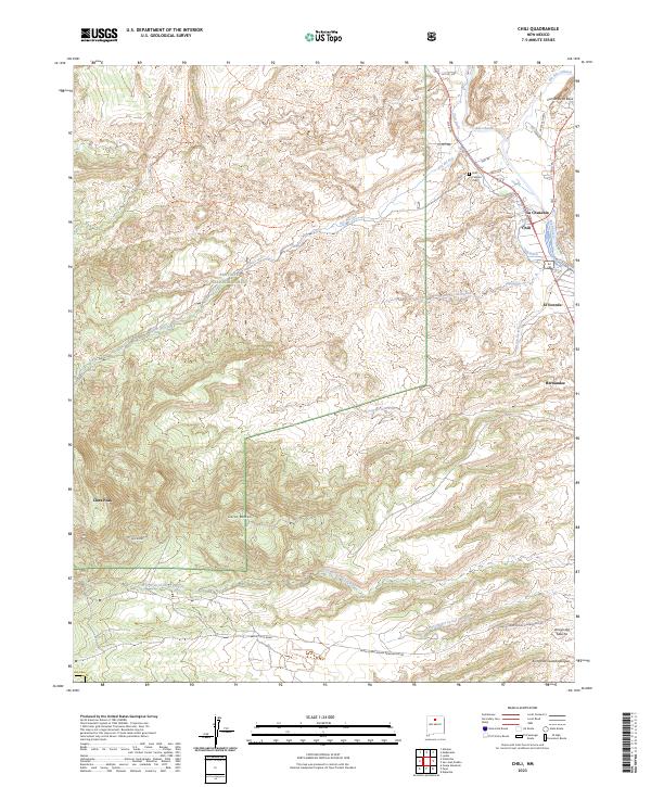 2023 Chili2023 Print · USGSThe Rio Chama valley north of Espanola is captured here in the early 2020s, showing the enduring settlement patterns of this river-centered landscape. Researchers can locate the Chili Catholic Cem and trace the paths of the Chili Ditch and Rio del Oso through the foothills.
End of results
Showing maps 1-13 of 13
Top cities near La Cuchilla
- Los Alamos historical maps
- Española historical maps
- Española historical maps
- Espanola historical maps
- Santa Cruz historical maps
- Abiquiu historical maps
Frequently asked questions
- What are the different types of historical maps available for La Cuchilla?
- What is the oldest map of La Cuchilla?
- Where can I purchase historical maps of La Cuchilla for my home or office?
- Where can I download high-res historical maps of La Cuchilla?
- Are there historical topographic maps available for La Cuchilla?
- Is there historical aerial imagery available for La Cuchilla?
- Where are historical maps of La Cuchilla sourced from?