Old Maps of Causey, New Mexico for Academic Research
Study the evolution of Causey with 27 high-resolution historic maps. Whether you're teaching, researching, or modeling changes in land use, these maps provide essential visual documentation of urban, environmental, and geographic change.
- Analyze long-term change: Track patterns in development, transportation, and natural features.
- Ideal for environmental or urban studies: Support academic projects with primary historical map data.
- Use in the classroom or lab: Educators and researchers rely on these maps to bring historical context to life.
These maps are a powerful tool for teaching, research, and visualizing how Causey has changed over the decades.
Causey, NM maps
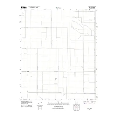
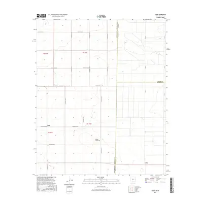
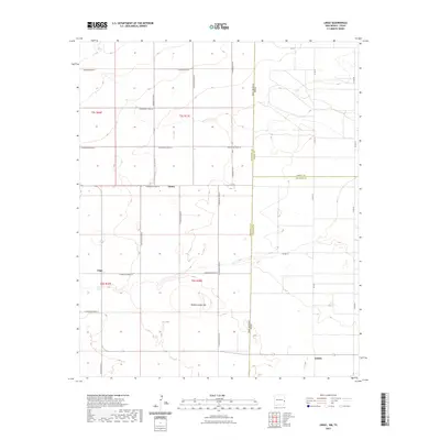
(27)- 1954 Map of Brownfield, 1975 Print
 1954 Brownfield1975 Print · USGSThe High Plains of the Texas-New Mexico border are captured here in the mid-twentieth century, as ranching and oil extraction shaped the Llano Estacado. Genealogists and historians can trace small rural centers like Lums Chapel, Hillburn City, and the Friendship Sch amid a landscape of windmills.2 unique versions available
 - 1958 Map of Brownfield
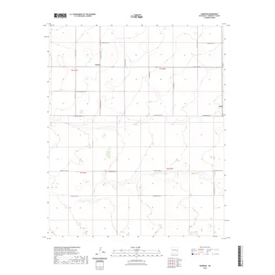
 1958 Brownfield1958 Print · USGSThe High Plains of the Texas-New Mexico border are captured here during a mid-century oil boom. Genealogists and historians can trace old community sites like Lums Chapel and Tokio alongside the vast Levelland and Slaughter Oil and Gas Field.
 - 1962 Map of Brownfield
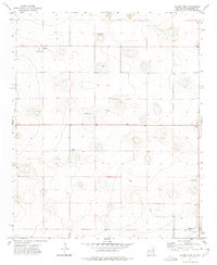
 1962 Brownfield1962 Print · USGSThe High Plains of Texas and New Mexico are captured in the early sixties as a thriving hub of oil production and ranching. Researchers can trace the industrial footprint of the Levelland and Slaughter Oil and Gas Field or locate smaller towns like Sundown and Littlefield.
 - 1970 Map of Lingo, 1972 Print
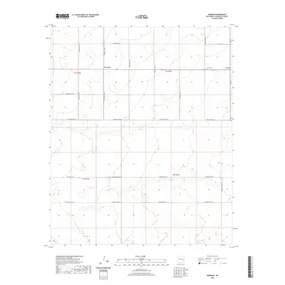
 1970 Lingo1972 Print · USGSThe High Plains at the New Mexico and Texas border come alive in the early seventies, showing a landscape defined by ranching and resource extraction. Trace the footprint of small settlements like Lingo and Griffith alongside a Landing Field and a local Gravel pit.
 - 1970 Map of Causey East, 1973 Print
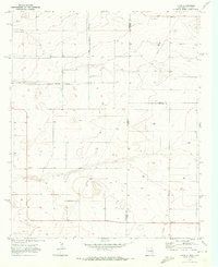
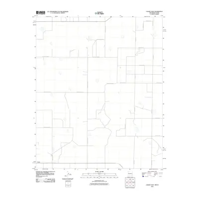
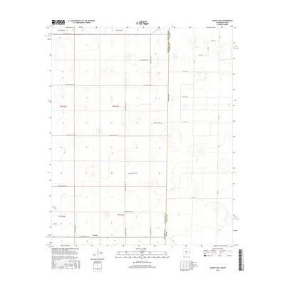
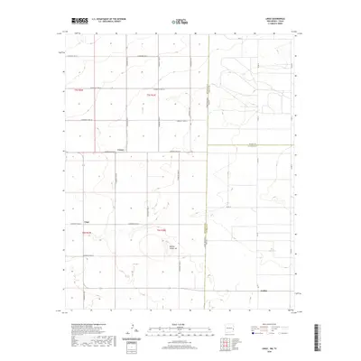
 1970 Causey East1973 Print · USGSThe high plains of the New Mexico-Texas border come into focus in the early seventies, centered on the village of Causey. Genealogists and researchers can trace the Causey Corporate Boundary, locate the local Cem, and find industrial markers like the Pumping Sta.
 - 1972 Map of Garrison, 1975 Print
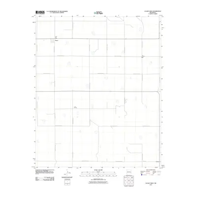
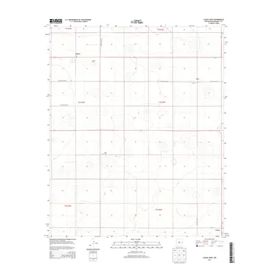
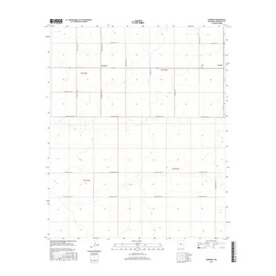
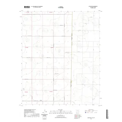
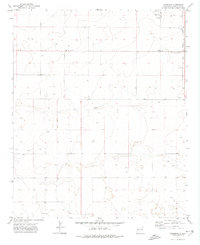 1972 Garrison1975 Print · USGSRoosevelt County's high plains are captured here in the early seventies, showing a quiet landscape of isolated wells and rural boundary lines. Researchers can pinpoint the Causey Cem and the small settlement of Garrison, or trace the Causey Corporate Boundary.
 - 1972 Map of Causey West, 1975 Print
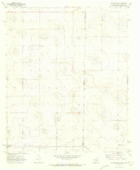
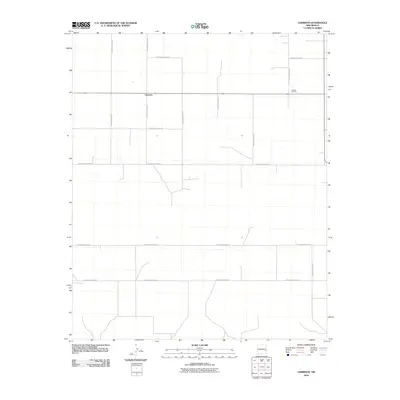
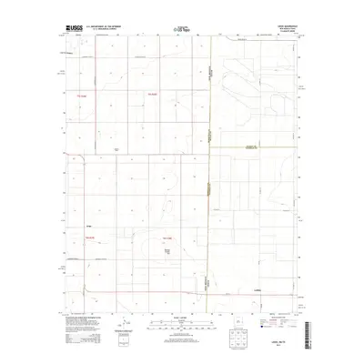
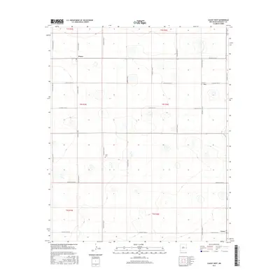
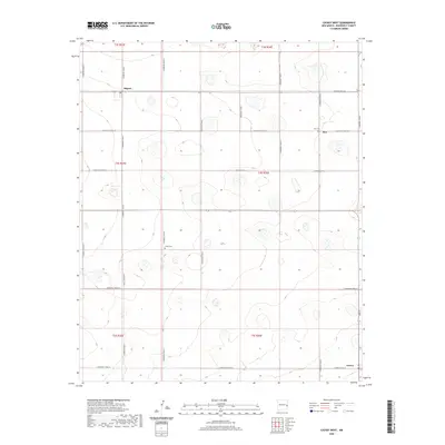
 1972 Causey West1975 Print · USGSRoosevelt County ranching and farming communities are mapped in the early seventies along the Texas border. Trace family roots and land use near Causey, the Longs Cem, and the small settlement of Rogers.2 unique versions available
 - 2010 Map of Lingo, 2010 Print
 2010 Lingo2010 Print · USGSCovers Causey, including Griffith, Lingo, and other nearby areas
 - 2010 Map of Causey East, 2010 Print
 2010 Causey East2010 Print · USGSCovers Causey, including Roosevelt County, Bailey County, and other nearby areas
 - 2010 Map of Causey West, 2010 Print
 2010 Causey West2010 Print · USGSCovers Causey, including Rogers, Inez, and other nearby areas
 - 2010 Map of Garrison, 2010 Print
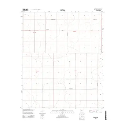
 2010 Garrison2010 Print · USGSCovers Causey, including Garrison, Roosevelt County, and other nearby areas
 - 2013 Map of Lingo, 2013 Print
 2013 Lingo2013 Print · USGSCovers Causey, including Griffith, Lingo, and other nearby areas
 - 2013 Map of Causey East, 2013 Print
 2013 Causey East2013 Print · USGSCovers Causey, including Roosevelt County, Bailey County, and other nearby areas
 - 2013 Map of Causey West, 2013 Print
 2013 Causey West2013 Print · USGSCovers Causey, including Rogers, Inez, and other nearby areas
 - 2013 Map of Garrison, 2013 Print
 2013 Garrison2013 Print · USGSCovers Causey, including Garrison, Roosevelt County, and other nearby areas
 - 2017 Map of Garrison, 2017 Print
 2017 Garrison2017 Print · USGSCovers Causey, including Garrison, Roosevelt County, and other nearby areas
 - 2017 Map of Causey West, 2017 Print
 2017 Causey West2017 Print · USGSCovers Causey, including Rogers, Inez, and other nearby areas
 - 2017 Map of Causey East, 2017 Print
 2017 Causey East2017 Print · USGSCovers Causey, including Roosevelt County, Bailey County, and other nearby areas
 - 2017 Map of Lingo, 2017 Print
 2017 Lingo2017 Print · USGSCovers Causey, including Griffith, Lingo, and other nearby areas
 - 2020 Map of Causey West, 2020 Print
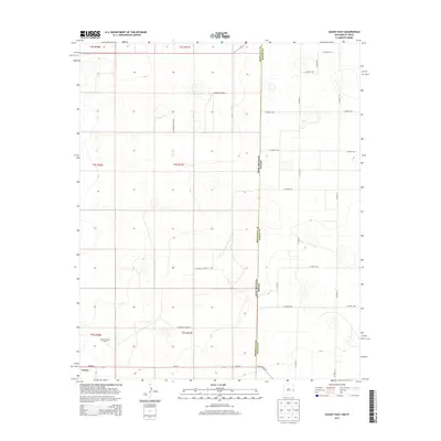
 2020 Causey West2020 Print · USGSCovers Causey, including Rogers, Inez, and other nearby areas
 - 2020 Map of Causey East, 2020 Print
 2020 Causey East2020 Print · USGSCovers Causey, including Roosevelt County, Bailey County, and other nearby areas
 - 2020 Map of Lingo, 2020 Print
 2020 Lingo2020 Print · USGSCovers Causey, including Griffith, Lingo, and other nearby areas
 - 2020 Map of Garrison, 2020 Print
 2020 Garrison2020 Print · USGSCovers Causey, including Garrison, Roosevelt County, and other nearby areas
 - 2023 Map of Lingo, 2023 Print
 2023 Lingo2023 Print · USGSThe High Plains borderlands of New Mexico and Texas come into focus here during the early twenty-first century. Researchers can trace the rural layout of Causey and Lingo or locate landmarks like Buffalo Soldier Hill and the settlement of Griffith.
 - 2023 Map of Garrison, 2023 Print
 2023 Garrison2023 Print · USGSEastern Roosevelt County ranching country is captured here during the early twenty-first century, showing the enduring grid of the High Plains. Genealogists and local researchers can locate the Causey Cem and trace early road networks like S Roosevelt Road L.
Showing maps 1-25 of 27
Top cities near Causey
Frequently asked questions
- What are the different types of historical maps available for Causey?
- What is the oldest map of Causey?
- Where can I purchase historical maps of Causey for my home or office?
- Where can I download high-res historical maps of Causey?
- Are there historical topographic maps available for Causey?
- Is there historical aerial imagery available for Causey?
- Where are historical maps of Causey sourced from?