Old Maps of Las Dispensas, New Mexico for Metal Detecting
Plan your next treasure hunt with 13 historic maps of Las Dispensas. Find old homesites, ghost towns, trails, and gathering spots that may be lost to time — perfect for identifying promising metal detecting locations.
- Locate forgotten sites: Uncover places like long-lost settlements, abandoned rail lines, or gathering spots.
- Plan better hunts: Use map overlays combined with LiDAR or satellite views to narrow in on historically rich areas.
- Made for detectorists: Thousands of hobbyists use these maps to discover relics, coins, and hidden history.
Use these historic maps to boost your research and find new opportunities beneath the surface of Las Dispensas.
Las Dispensas, NM maps
(13)- 1889 Map of Las Vegas, 1953 Print
 1889 Las Vegas1953 Print · USGSNorthern New Mexico in the late nineteenth century is documented here as the railroad brought new life to the high plains. Researchers can trace the early layout of Las Vegas, find the strategic site of Fort Union, and locate vanished plazas like Loma Parda.
 - 1891 Map of Las Vegas
 1891 Las Vegas1891 Print · USGSNorthern New Mexico's transition from frontier outposts to a rail-connected territory is visible in this survey from the late nineteenth century. Genealogists and historians can trace the foundations of Las Vegas and its connection to Fort Union and Hot Springs.
 - 1893 Map of Las Vegas
 1893 Las Vegas1893 Print · USGSSan Miguel and Mora counties are captured here in the final decade of the nineteenth century as the railroad transformed the territory. Trace early travel routes through Las Vegas and locate historic outposts like Fort Union and La Cueva.5 unique versions available
 - 1954 Map of Santa Fe, 1963 Print
 1954 Santa Fe1963 Print · USGSNew Mexico's high mountains and eastern plains meet in the mid-fifties, showing a landscape defined by the Sangre de Cristo Mountains and the Pecos River. Trace family roots and local history through San Christobal Church, Sena School, and the historic Las Vegas rail corridor.4 unique versions available
 - 1958 Map of Santa Fe
 1958 Santa Fe1958 Print · USGSThe Sangre De Cristo Mountains meet the high plains in the late 1950s, showing a landscape defined by rail corridors and ranching. Genealogists can trace family-named sites like Upton Ranch or visit the Fort Union (Ruins) and Tuloso School.
 - 1961 Map of Montezuma, 1965 Print
 1961 Montezuma1965 Print · USGSSan Miguel County in the early 1960s reveals a landscape defined by the rugged interface of the La Sierrita canyons and the waters of Gallinas Creek. Genealogists and historians can trace traditional settlements like Los Vigiles, El Llano, and the landmarks of Montezuma.2 unique versions available
 - 1983 Map of Santa Fe, 1984 Print
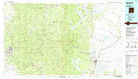 1983 Santa Fe1984 Print · USGSThe high Sangre de Cristo Mountains and the growing state capital define this early 1980s landscape during a period of expanding infrastructure. Researchers can trace historic land patterns and transit routes from Nambe Pueblo and Glorieta Pass to the Atchison Topeka and Santa Fe RR line.
 - 2002 Map of Montezuma, 2003 Print
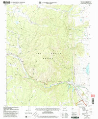 2002 Montezuma2003 Print · USGSSan Miguel County at the turn of the millennium remains a landscape of deep canyons and historic land grants. Local historians can trace the foundations of Montezuma, locate the Sagrado Corazon Ch, and explore the legacy of the Las Vegas Grant.
 - 2010 Map of Montezuma, 2010 Print
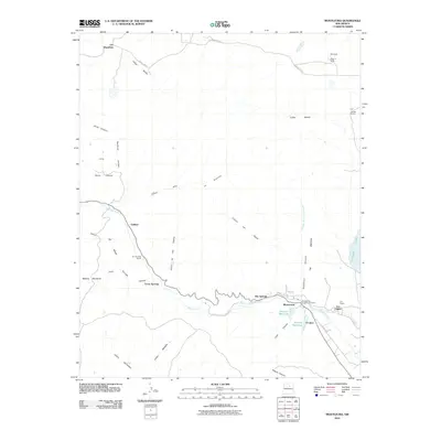 2010 Montezuma2010 Print · USGSThe foothills of the Sangre de Cristo Mountains come into focus in this 2010 survey of San Miguel County. Researchers can trace land use through properties like W Bar K Ranch, locate the Montezuma Seminary Cemetery, and study the water networks of Storrie Lake and Hot Springs.
 - 2013 Map of Montezuma, 2013 Print
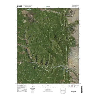 2013 Montezuma2013 Print · USGSSan Miguel County canyon country is documented here in the early twenty-first century as it follows the Gallinas Cr corridor. Researchers can locate family landmarks like the Montezuma Seminary Cem, Rio De Vega Ranch, and the waters of Hot Springs.
 - 2017 Map of Montezuma, 2017 Print
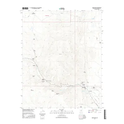 2017 Montezuma2017 Print · USGSThe canyons and creeks of San Miguel County are preserved here as they appeared in recent years. Researchers can trace the layout of Montezuma, locate the Armand Hammer United World Coll, and follow the winding Gallinas Cr past Trout Springs and Peterson Reservoir.
 - 2020 Map of Montezuma, 2020 Print
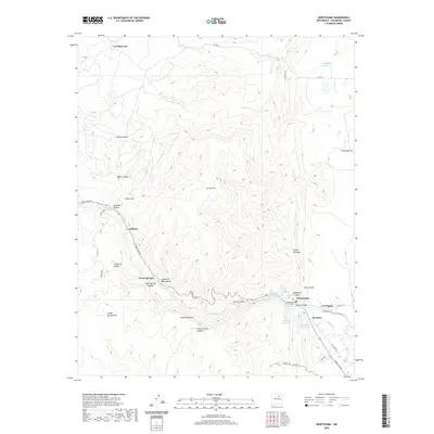 2020 Montezuma2020 Print · USGSSan Miguel County at the edge of the mountains comes alive in this study of the northern New Mexico landscape. Researchers can trace rural life through sites like the Montezuma Seminary Cem and trace old routes through Trout Springs and Las Dispensas.
 - 2023 Map of Montezuma, 2023 Print
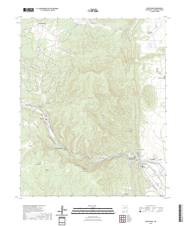 2023 Montezuma2023 Print · USGSSan Miguel County is captured in this modern survey of the high canyons west of Las Vegas. Researchers can locate family sites and landmarks like Santo Niño Cem, the Montezuma Seminary Cem, and the waters of Gallinas Creek.
End of results
Showing maps 1-13 of 13
Top cities near Las Dispensas
Frequently asked questions
- What are the different types of historical maps available for Las Dispensas?
- What is the oldest map of Las Dispensas?
- Where can I purchase historical maps of Las Dispensas for my home or office?
- Where can I download high-res historical maps of Las Dispensas?
- Are there historical topographic maps available for Las Dispensas?
- Is there historical aerial imagery available for Las Dispensas?
- Where are historical maps of Las Dispensas sourced from?