Old Maps of Rowe, New Mexico for Metal Detecting
Plan your next treasure hunt with 11 historic maps of Rowe. Find old homesites, ghost towns, trails, and gathering spots that may be lost to time — perfect for identifying promising metal detecting locations.
- Locate forgotten sites: Uncover places like long-lost settlements, abandoned rail lines, or gathering spots.
- Plan better hunts: Use map overlays combined with LiDAR or satellite views to narrow in on historically rich areas.
- Made for detectorists: Thousands of hobbyists use these maps to discover relics, coins, and hidden history.
Use these historic maps to boost your research and find new opportunities beneath the surface of Rowe.
Rowe, NM maps
(11)- 1894 Map of Lamy
 1894 Lamy1894 Print · USGSNorthern New Mexico in the late nineteenth century centers on the high-desert corridor of the Atchison Topeka and Santa Fe RR. Genealogists and historians can trace early ranching sites like Gomez Ranch and rail stops from Lamy to Fulton.5 unique versions available
 - 1954 Map of Santa Fe, 1963 Print
 1954 Santa Fe1963 Print · USGSNew Mexico's high mountains and eastern plains meet in the mid-fifties, showing a landscape defined by the Sangre de Cristo Mountains and the Pecos River. Trace family roots and local history through San Christobal Church, Sena School, and the historic Las Vegas rail corridor.4 unique versions available
 - 1958 Map of Santa Fe
 1958 Santa Fe1958 Print · USGSThe Sangre De Cristo Mountains meet the high plains in the late 1950s, showing a landscape defined by rail corridors and ranching. Genealogists can trace family-named sites like Upton Ranch or visit the Fort Union (Ruins) and Tuloso School.
 - 1966 Map of Rowe, 1971 Print
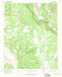 1966 Rowe1971 Print · USGSThe Pecos River valley and Glorieta Mesa in the mid-1960s reveal a landscape of high-country ranching and vital rail transport. Genealogists and local historians can trace family-named sites like the Archuleta Ranch or follow the Atchison Topeka and Santa Fe railroad past Rowe.2 unique versions available
 - 1983 Map of Villanueva, 1984 Print
 1983 Villanueva1984 Print · USGSThe Pecos River valley and its high mesa surroundings are captured here in the early eighties. Researchers can trace historic river settlements like Villanueva and Sena, the route of the Atchison Topeka and Santa Fe railroad, and the high-desert terrain of Glorieta Mesa.
 - 2002 Map of Rowe, 2003 Print
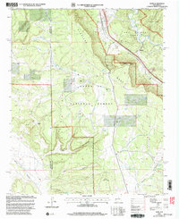 2002 Rowe2003 Print · USGSSan Miguel County at the start of the millennium retains its deep western roots, anchored by the river and the rail. Researchers can trace the path of the Historic Santa Fe Trail or locate family sites like Rowe Cem and Archuleta Ranch.
 - 2011 Map of Rowe, 2011 Print
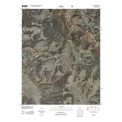 2011 Rowe2011 Print · USGSThe settlement of Rowe and its surrounding canyons are captured here in the early twenty-first century. Genealogists and historians can trace local family landmarks through the Rowe Post Office, Archuleta Ranch, and three distinct burial grounds including Holy Family Catholic Cemetery.
 - 2013 Map of Rowe, 2013 Print
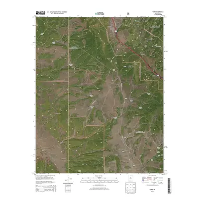 2013 Rowe2013 Print · USGSThe village of Rowe and the high terrain of Glorieta Mesa are documented here in the early twenty-first century. Researchers can locate family landmarks such as the Archuleta Ranch or trace local history through Rowe Cem and Saint Josephs Chapel Cem.
 - 2017 Map of Rowe, 2017 Print
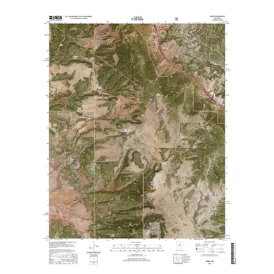 2017 Rowe2017 Print · USGSRowe and the Pecos River valley appear in the late 2010s as a landscape of mesa-top forests and clustered settlements. Researchers can locate family heritage sites like Rowe Cem and Saint Josephs Chapel or trace the winding course of the Pecos River.
 - 2020 Map of Rowe, 2020 Print
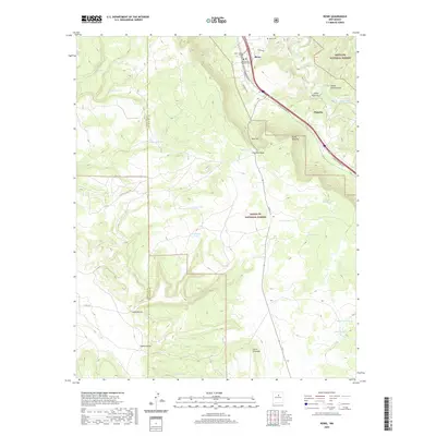 2020 Rowe2020 Print · USGSRowe and the canyonlands of the San Miguel county line are documented here in the early twenty-first century. Genealogists can locate family sites near Rowe Cem and Holy Family Catholic Cem or trace the old Ojo De La Vaca Trl.
 - 2023 Map of Rowe, 2023 Print
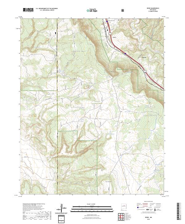 2023 Rowe2023 Print · USGSUpper Pecos River country is captured here during the 2020s, showing the intersection of high-mesa ranching and National Forest lands. Researchers can trace family sites at Rowe Cem or follow old routes like the Ojo De La Vaca Trl across Glorieta Mesa.
End of results
Showing maps 1-11 of 11
Top cities near Rowe
Frequently asked questions
- What are the different types of historical maps available for Rowe?
- What is the oldest map of Rowe?
- Where can I purchase historical maps of Rowe for my home or office?
- Where can I download high-res historical maps of Rowe?
- Are there historical topographic maps available for Rowe?
- Is there historical aerial imagery available for Rowe?
- Where are historical maps of Rowe sourced from?