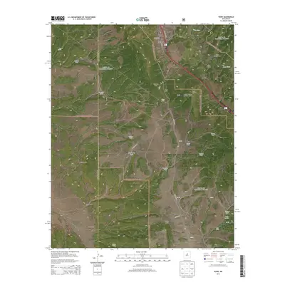
2013 Map of Rowe
USGS Topo · Published 2013About this map
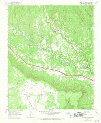
Rowe serves as the primary settlement on this landscape, positioned where the terrain drops from Glorieta Mesa toward the Pecos River. The village layout includes the local Po and is flanked by several significant burial sites, including the Rowe Cem, Holy Family Catholic Cem, and Saint Josephs Chapel Cem. These landmarks, along with the nearby Archuleta Ranch, highlight the localized rural history of the area.
Find a feature on this map
44 named features on this map. Tap any name to fly to it.
Don’t see what you’re looking for? This feature index may not catch every label — zoom into the map to look around manually.
Map Details
Editions of this 2013 Rowe Map
This is the sole edition of this map. No revisions or reprints were ever made.
Other maps of this area

1889 · Santa Fe
USGS Topo · 1:125,000

1894 · Santa Fe
USGS Topo · 1:125,000

1894 · Lamy
USGS Topo · 1:125,000

1953 · Glorieta
USGS Topo · 1:24,000

1954 · Santa Fe
USGS Topo · 1:250,000

1958 · Santa Fe
USGS Topo · 1:250,000
1961 · Pecos
USGS Topo · 1:24,000
1961 · Lower Colonias
USGS Topo · 1:24,000
1966 · Laguna Ortiz
USGS Topo · 1:24,000
1966 · North San Ysidro
USGS Topo · 1:24,000