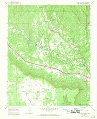
1966 Map of North San Ysidro
USGS Topo · Published 1970About this map
The Pecos River cuts a deep, winding path through this northern New Mexico landscape, separating the high elevations of the Santa Fe National Forest from the dramatic southern escarpment of Glorieta Mesa. The mid-1960s survey captures a corridor of movement where the Atchison Topeka and Santa Fe railroad and a primary highway parallel the river, connecting small riverside settlements such as North San Ysidro and South San Ysidro. A local Cem and a Gravel Pit near the riverbanks indicate the small-scale industry and community life centered around these canyon communities.
Find a feature on this map
53 named features on this map. Tap any name to fly to it.
Don’t see what you’re looking for? This feature index may not catch every label — zoom into the map to look around manually.
Map Details
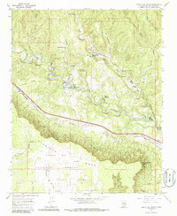
Editions of this 1966 North San Ysidro Map
2 editions found
Other maps of this area

1889 · Las Vegas
USGS Topo · 1:125,000

1889 · Santa Fe
USGS Topo · 1:125,000

1890 · Bernal
USGS Topo · 1:125,000

1891 · Bernal
USGS Topo · 1:125,000

1891 · Las Vegas
USGS Topo · 1:125,000

1893 · Las Vegas
USGS Topo · 1:125,000

1894 · Santa Fe
USGS Topo · 1:125,000

1894 · Bernal
USGS Topo · 1:125,000

1894 · Lamy
USGS Topo · 1:125,000

1954 · Santa Fe
USGS Topo · 1:250,000