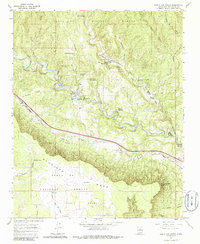
1966 Map of North San Ysidro
USGS Topo · Published 1986About this map
The Pecos River carves a deep valley through this mid-century landscape, acting as the central artery for both natural drainage and human infrastructure. Along its northern banks, the settlements of North San Ysidro and South San Ysidro sit near the mouth of Cow Creek, while the Atchison Topeka and Santa Fe railroad follows the river's southern curve through Ilfeld and Sands. The map reveals the intricate land divisions of the San Miguel del Bado land grants, which contrast with the open expanses of the Santa Fe National Forest and the towering heights of Glorieta Mesa.
Find a feature on this map
46 named features on this map. Tap any name to fly to it.
Don’t see what you’re looking for? This feature index may not catch every label — zoom into the map to look around manually.
Map Details
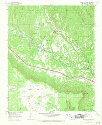
Editions of this 1966 North San Ysidro Map
2 editions found
Other maps of this area

1889 · Las Vegas
USGS Topo · 1:125,000

1889 · Santa Fe
USGS Topo · 1:125,000

1890 · Bernal
USGS Topo · 1:125,000

1891 · Bernal
USGS Topo · 1:125,000

1891 · Las Vegas
USGS Topo · 1:125,000

1893 · Las Vegas
USGS Topo · 1:125,000

1894 · Santa Fe
USGS Topo · 1:125,000

1894 · Bernal
USGS Topo · 1:125,000

1894 · Lamy
USGS Topo · 1:125,000

1954 · Santa Fe
USGS Topo · 1:250,000