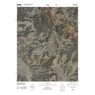
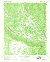
2011 Map of Rowe
USGS Topo · Published 2011About this map
Rowe and its surrounding high-country terrain are meticulously documented in this 2011 survey, which centers on the community's essential landmarks including the Rowe Post Office and several sacred sites. The local history of San Miguel County is preserved through the mapping of the Rowe Cemetery, Holy Family Catholic Cemetery, and Saint Josephs Chapel Cemetery, all located near the primary settlement.
Find a feature on this map
28 named features on this map. Tap any name to fly to it.
Don’t see what you’re looking for? This feature index may not catch every label — zoom into the map to look around manually.
Map Details
Editions of this 2011 Rowe Map
This is the sole edition of this map. No revisions or reprints were ever made.
Other maps of this area

1889 · Santa Fe
USGS Topo · 1:125,000

1894 · Santa Fe
USGS Topo · 1:125,000

1894 · Lamy
USGS Topo · 1:125,000

1953 · Glorieta
USGS Topo · 1:24,000

1954 · Santa Fe
USGS Topo · 1:250,000

1958 · Santa Fe
USGS Topo · 1:250,000
1961 · Pecos
USGS Topo · 1:24,000
1961 · Lower Colonias
USGS Topo · 1:24,000
1966 · Laguna Ortiz
USGS Topo · 1:24,000
1966 · North San Ysidro
USGS Topo · 1:24,000