2000s (21st Century) Maps of Ponderosa, New Mexico
Explore 11 historic maps of Ponderosa from the 2000s (21st Century). These maps offer a rare glimpse into what life looked like during the 2000s — showing old roads, neighborhoods, homes, and landmarks that have changed or disappeared over time.
Whether you're researching your family's past, planning a metal detecting trip, or studying how Ponderosa's landscape evolved across the 2000s, these high-resolution maps are a powerful tool for exploring the history of this region.
- Focus on a specific era: All maps on this page are from the 2000s, giving you a focused view of this time period.
- See what’s changed: Compare century-old streets, trails, and buildings to today's modern landscape using overlays and satellite layers.
- Research with precision: Use these maps for genealogy, historical research, land use analysis, or educational projects.
- View, download, or print: Maps are fully viewable online in high resolution, and can be downloaded or printed for your own records.
Start exploring Ponderosa's history through authentic maps from the 2000s. This is your window into the past.
Ponderosa, NM maps
(11)- 2002 Map of Bear Springs Peak, 2003 Print
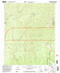 2002 Bear Springs Peak2003 Print · USGSIn the early 2000s, this high-country landscape near the Jemez Indian Reservation showed a rugged intersection of ranching and mining history. Researchers can find old resource sites like Strip Mines and trace the paths through Paliza Canyon to Bear Springs Peak.
 - 2011 Map of Ponderosa, 2011 Print
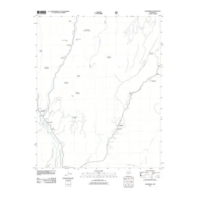 2011 Ponderosa2011 Print · USGSNear the dawn of the 2010s, this area of Sandoval County shows a mountain landscape where traditional mining and modern recreation meet. Researchers can trace family roots at Ponderosa Cemetery or locate historic industrial sites like the Spanish Queen Mine and Pyramid Pumice Mine.
 - 2011 Map of Bear Springs Peak, 2011 Print
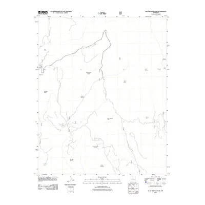 2011 Bear Springs Peak2011 Print · USGSSandoval County's high-country terrain is captured here during a period of active land use in the early 2000s. Researchers can locate mining history at the Mont de Lion Group or trace recreational sites like Ponderosa Camp and Paliza Campground.
 - 2013 Map of Bear Springs Peak, 2013 Print
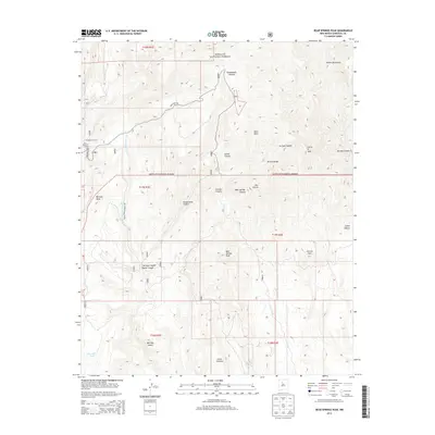 2013 Bear Springs Peak2013 Print · USGSThe Jemez Mountains and Santa Fe National Forest appear in great detail during the early twenty-first century. Researchers can trace forest access routes and find named landmarks like Ponderosa Camp, Bear Springs Peak, and Ruiz Peak.
 - 2013 Map of Ponderosa, 2013 Print
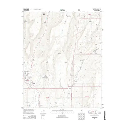 2013 Ponderosa2013 Print · USGSThe high mesas and canyon lands of Sandoval County are shown here in the early twenty-first century, featuring the Jemez Pueblo and surrounding mountain communities. Researchers can trace the layout of Jemez Springs, locate the Ponderosa Cem, and study the drainage of the Jemez River.
 - 2017 Map of Ponderosa, 2017 Print
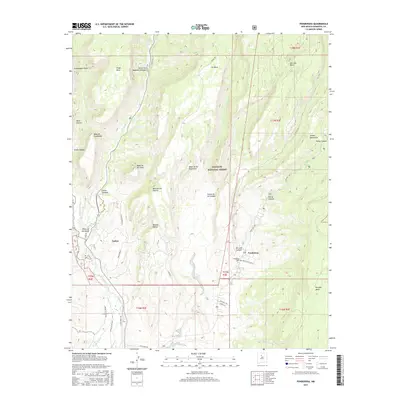 2017 Ponderosa2017 Print · USGSSandoval County’s high mesas and deep canyons are documented here in the late twenty-tens, showing the rural communities along the Jemez River. Trace local history through the Ponderosa Cem and the settlement of Cañon set against the Jemez Mountains.
 - 2017 Map of Bear Springs Peak, 2017 Print
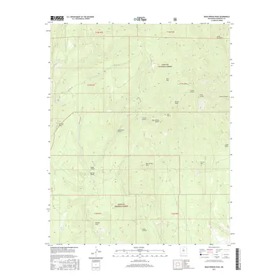 2017 Bear Springs Peak2017 Print · USGSThe Jemez Mountains and the high territory of the Santa Fe National Forest are shown here during the late twenty-teens. Trace the rugged terrain from Bear Springs Peak to Borrego Dome, following the winding routes of State Hwy 290 and Peralta Canyon.
 - 2020 Map of Bear Springs Peak, 2020 Print
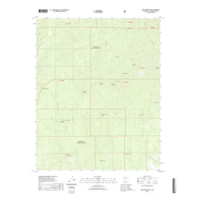 2020 Bear Springs Peak2020 Print · USGSThe Jemez Mountains of Sandoval County are captured here in the modern era, showing a landscape defined by volcanic peaks and deep canyons. Researchers can trace landforms like Bear Springs Peak, Ruiz Peak, and the distinctive Borrego Dome within the forest boundary.
 - 2020 Map of Ponderosa, 2020 Print
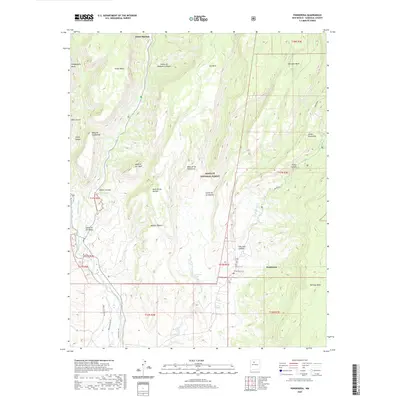 2020 Ponderosa2020 Print · USGSThe high mesas of Sandoval County are captured here in the early twenty-first century as they overlook the ancient corridors of the Jemez River. Trace local life and land use through features like the Cañones Communities Ditch, the Las Vegitas Spring, and the settlement of Ponderosa.
 - 2023 Map of Ponderosa, 2023 Print
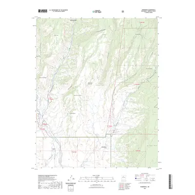 2023 Ponderosa2023 Print · USGSThe high mesa and canyon country of Sandoval County are documented here in recent detail. Researchers can trace local heritage at Ponderosa Cem or follow historical irrigation routes along the Cañones Community Ditch and Vallecito Creek.
 - 2023 Map of Bear Springs Peak, 2023 Print
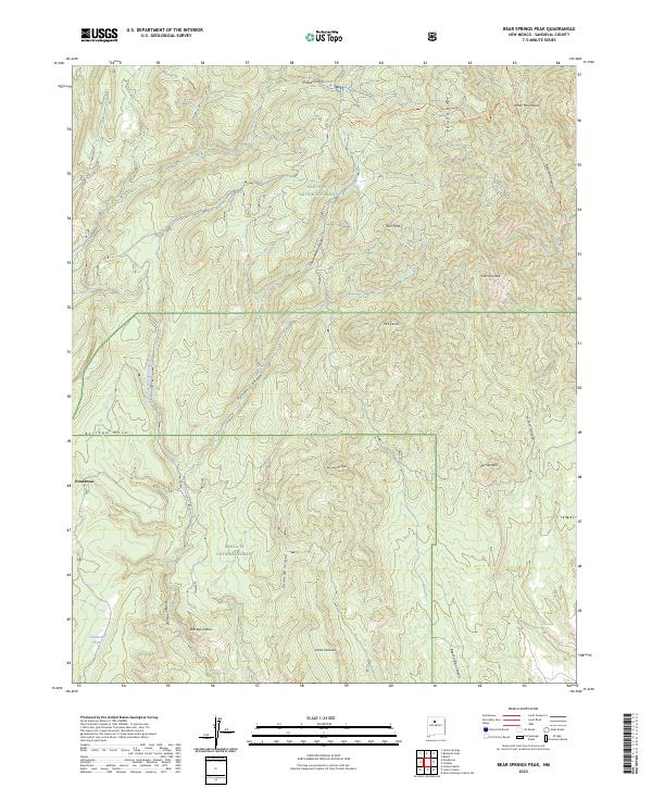 2023 Bear Springs Peak2023 Print · USGSThe Jemez Mountains and the settlement of Ponderosa are captured here in the early 2020s. Researchers can trace the high-country terrain of Santa Fe National Forest, identifying landmarks like Ruiz Peak and Bear Springs Peak.
End of results
Showing maps 1-11 of 11
Top cities near Ponderosa
Frequently asked questions
- What are the different types of historical maps available for Ponderosa?
- What is the oldest map of Ponderosa?
- Where can I purchase historical maps of Ponderosa for my home or office?
- Where can I download high-res historical maps of Ponderosa?
- Are there historical topographic maps available for Ponderosa?
- Is there historical aerial imagery available for Ponderosa?
- Where are historical maps of Ponderosa sourced from?