Old Maps of Rio Rancho, New Mexico
Explore 26 old maps of Rio Rancho, spanning from 1888 to today. These high-resolution historic maps reveal how streets, neighborhoods, landmarks, and natural features evolved over time — perfect for genealogy, metal detecting, research, and local history exploration.
What you can do with these maps:
- See how Rio Rancho changed over time: Compare historical maps to modern-day views to trace roads, homesites, rail lines & more.
- View detailed metadata: Each map includes creators, publishers, year, scale, and archive source.
- Overlay maps with satellite & LiDAR: Visualize the past alongside modern tools to explore terrain & human change.
- Trusted historical sources: Maps sourced from the USGS, Library of Congress, and other archives.
- Access maps your way: View online, download high-res files, or order prints for personal or research use.
Start exploring old maps of Rio Rancho to uncover forgotten places, hidden landmarks, and the deep history beneath your feet.
Rio Rancho, NM maps
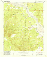
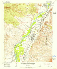
(26)- 1888 Map of Bernalillo, 1951 Print
 1888 Bernalillo1951 Print · USGSCovers Rio Rancho, including Albuquerque, South Valley, and other nearby areas
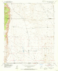
 - 1889 Map of Albuquerque
 1889 Albuquerque1889 Print · USGSCovers Rio Rancho, including Albuquerque, South Valley, and other nearby areas
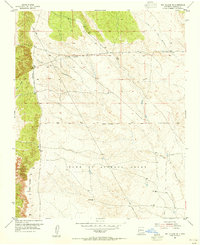
 - 1893 Map of Albuquerque
 1893 Albuquerque1893 Print · USGSCovers Rio Rancho, including Albuquerque, South Valley, and other nearby areas5 unique versions available
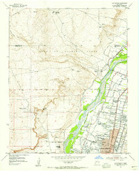
 - 1934 Map of Griegos
 1934 Griegos1934 Print · USGSCovers Rio Rancho, including Albuquerque, Corrales, and other nearby areas
 - 1938 Map of Albuquerque
 1938 Albuquerque1938 Print · USGSCovers Rio Rancho, including Albuquerque, South Valley, and other nearby areas
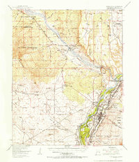
 - 1953 Map of Bernalillo NW, 1955 Print
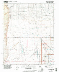
 1953 Bernalillo NW1955 Print · USGSCovers Rio Rancho, including Sandoval County, United States, and other nearby areas2 unique versions available
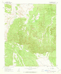
 - 1954 Map of Volcano Ranch, 1955 Print
 1954 Volcano Ranch1955 Print · USGSCovers Rio Rancho, including Albuquerque, Quail Ranch, and other nearby areas4 unique versions available
 - 1954 Map of Loma Machete, 1955 Print
 1954 Loma Machete1955 Print · USGSCovers Rio Rancho, including Corrales, Sandoval County, and other nearby areas3 unique versions available
 - 1954 Map of Sky Village SE, 1955 Print
 1954 Sky Village SE1955 Print · USGSCovers Rio Rancho, including Sandoval County, United States, and other nearby areas2 unique versions available
 - 1954 Map of Los Griegos, 1955 Print
 1954 Los Griegos1955 Print · USGSCovers Rio Rancho, including Albuquerque, Corrales, and other nearby areas
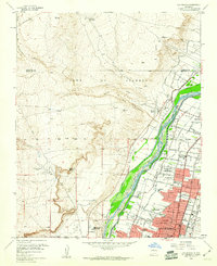
 - 1954 Map of Bernalillo, 1955 Print
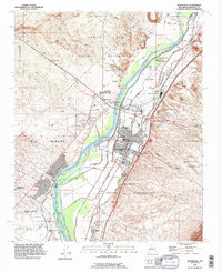
 1954 Bernalillo1955 Print · USGSCovers Rio Rancho, including Bernalillo, Corrales, and other nearby areas3 unique versions available
 - 1954 Map of Bernalillo, 1957 Print
 1954 Bernalillo1957 Print · USGSCovers Rio Rancho, including Bernalillo, Corrales, and other nearby areas
 - 1958 Map of Albuquerque
 1958 Albuquerque1958 Print · USGSCovers Rio Rancho, including Albuquerque, Santa Fe, and other nearby areas
 - 1960 Map of Los Griegos
 1960 Los Griegos1960 Print · USGSCovers Rio Rancho, including Albuquerque, Corrales, and other nearby areas3 unique versions available
 - 1960 Map of Sky Village NE, 1963 Print
 1960 Sky Village NE1963 Print · USGSCovers Rio Rancho, including Sandoval County, United States, and other nearby areas2 unique versions available
 - 1962 Map of Albuquerque
 1962 Albuquerque1962 Print · USGSCovers Rio Rancho, including Albuquerque, Santa Fe, and other nearby areas
 - 1963 Map of Albuquerque, 1965 Print
 1963 Albuquerque1965 Print · USGSCovers Rio Rancho, including Albuquerque, Santa Fe, and other nearby areas3 unique versions available
 - 1978 Map of Albuquerque, 1986 Print
 1978 Albuquerque1986 Print · USGSCovers Rio Rancho, including Albuquerque, South Valley, and other nearby areas
 - 1983 Map of Albuquerque, 1984 Print
 1983 Albuquerque1984 Print · USGSCovers Rio Rancho, including Albuquerque, Santa Fe, and other nearby areas
 - 1990 Map of Los Griegos, 1996 Print
 1990 Los Griegos1996 Print · USGSCovers Rio Rancho, including Albuquerque, Corrales, and other nearby areas
 - 1990 Map of The Volcanoes, 1996 Print
 1990 The Volcanoes1996 Print · USGSCovers Rio Rancho, including Albuquerque, Quail Ranch, and other nearby areas
 - 1990 Map of Arroyo De Las Calabacillas, 1996 Print
 1990 Arroyo De Las Calabacillas1996 Print · USGSCovers Rio Rancho, including Sandoval County, United States, and other nearby areas
 - 1990 Map of Bernalillo, 1996 Print
 1990 Bernalillo1996 Print · USGSCovers Rio Rancho, including Bernalillo, Corrales, and other nearby areas
 - 1990 Map of Loma Machete, 1996 Print
 1990 Loma Machete1996 Print · USGSCovers Rio Rancho, including Corrales, Sandoval County, and other nearby areas
 - 1990 Map of Bernalillo NW, 1996 Print
 1990 Bernalillo NW1996 Print · USGSCovers Rio Rancho, including Sandoval County, United States, and other nearby areas
Showing maps 1-25 of 26
Top cities near Rio Rancho
- Albuquerque historical maps
- Bernalillo historical maps
- Corrales historical maps
- Los Ranchos de Albuquerque historical maps
- Paradise Hills historical maps
Top neighborhoods of Rio Rancho
Frequently asked questions
- What are the different types of historical maps available for Rio Rancho?
- What is the oldest map of Rio Rancho?
- Where can I purchase historical maps of Rio Rancho for my home or office?
- Where can I download high-res historical maps of Rio Rancho?
- Are there historical topographic maps available for Rio Rancho?
- Is there historical aerial imagery available for Rio Rancho?
- Where are historical maps of Rio Rancho sourced from?