2000s (21st Century) Maps of Dusty, New Mexico
Explore 6 historic maps of Dusty from the 2000s (21st Century). These maps offer a rare glimpse into what life looked like during the 2000s — showing old roads, neighborhoods, homes, and landmarks that have changed or disappeared over time.
Whether you're researching your family's past, planning a metal detecting trip, or studying how Dusty's landscape evolved across the 2000s, these high-resolution maps are a powerful tool for exploring the history of this region.
- Focus on a specific era: All maps on this page are from the 2000s, giving you a focused view of this time period.
- See what’s changed: Compare century-old streets, trails, and buildings to today's modern landscape using overlays and satellite layers.
- Research with precision: Use these maps for genealogy, historical research, land use analysis, or educational projects.
- View, download, or print: Maps are fully viewable online in high resolution, and can be downloaded or printed for your own records.
Start exploring Dusty's history through authentic maps from the 2000s. This is your window into the past.
Dusty, NM maps
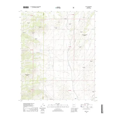
(6)- 2005 Map of Dusty, 2006 Print
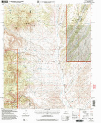 2005 Dusty2006 Print · USGSRanching life in the high desert of Socorro and Catron counties is documented here as it appeared in the early 2000s. Genealogists and local historians can trace family-named outposts and vital water sources like Tucker Ranch, Henderson Ranch, and Pigeon Windmill.
 - 2011 Map of Dusty, 2011 Print
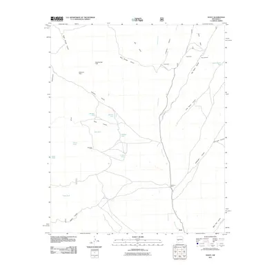 2011 Dusty2011 Print · USGSCovers Dusty, including Socorro County, Catron County, and other nearby areas
 - 2013 Map of Dusty, 2013 Print
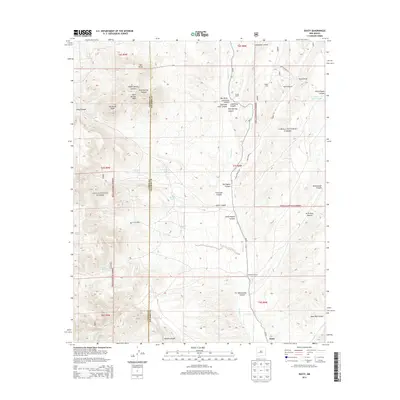 2013 Dusty2013 Print · USGSCovers Dusty, including Socorro County, Catron County, and other nearby areas
 - 2017 Map of Dusty, 2017 Print
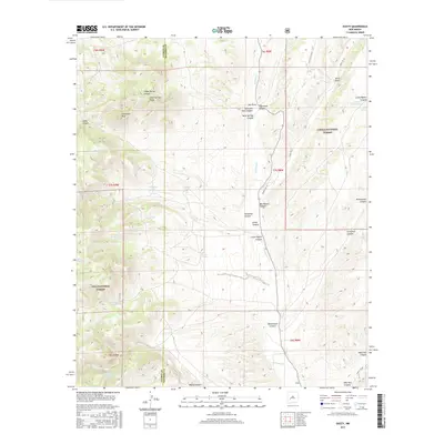 2017 Dusty2017 Print · USGSCovers Dusty, including Socorro County, Catron County, and other nearby areas
 - 2020 Map of Dusty, 2020 Print
 2020 Dusty2020 Print · USGSCovers Dusty, including Socorro County, Catron County, and other nearby areas
 - 2023 Map of Dusty, 2023 Print
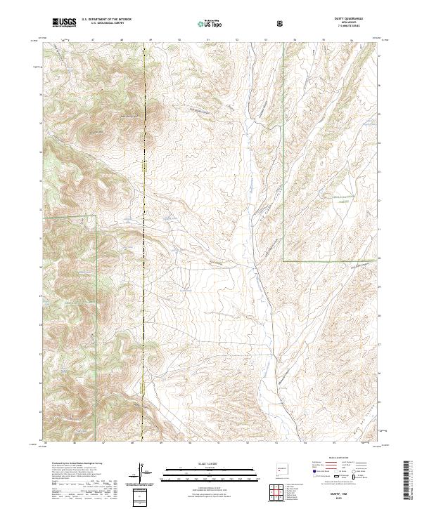 2023 Dusty2023 Print · USGSSocorro and Catron counties meet in this high-forest region as it appeared in recent years, dominated by the junctions of major national forest lands. Genealogists and historians can trace old transit lines like Old State Hwy 52 and remote water points including Outlaw Tank and Hells Tank.
End of results
Showing maps 1-6 of 6
Frequently asked questions
- What are the different types of historical maps available for Dusty?
- What is the oldest map of Dusty?
- Where can I purchase historical maps of Dusty for my home or office?
- Where can I download high-res historical maps of Dusty?
- Are there historical topographic maps available for Dusty?
- Is there historical aerial imagery available for Dusty?
- Where are historical maps of Dusty sourced from?