Old Maps of Dusty, New Mexico for Academic Research
Study the evolution of Dusty with 11 high-resolution historic maps. Whether you're teaching, researching, or modeling changes in land use, these maps provide essential visual documentation of urban, environmental, and geographic change.
- Analyze long-term change: Track patterns in development, transportation, and natural features.
- Ideal for environmental or urban studies: Support academic projects with primary historical map data.
- Use in the classroom or lab: Educators and researchers rely on these maps to bring historical context to life.
These maps are a powerful tool for teaching, research, and visualizing how Dusty has changed over the decades.
Dusty, NM maps
(11)- 1954 Map of Tularosa, 1963 Print
 1954 Tularosa1963 Print · USGSSouth-central New Mexico in the early fifties shows a landscape of desert basins and high peaks under heavy military and water-reclamation use. Trace the path of the Atchison Topeka and Santa Fe Railway past San Marcial and into the massive White Sands Proving Ground.4 unique versions available
 - 1958 Map of Tularosa
 1958 Tularosa1958 Print · USGSSouthern New Mexico in the late fifties shows a landscape of military expansion and deep-rooted river settlements. Trace family history in Truth or Consequences or locate the ruins of San Marcial and the remote Dusty Post Office.2 unique versions available
 - 1965 Map of Dusty, 1967 Print
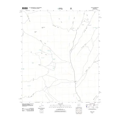
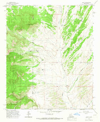 1965 Dusty1967 Print · USGSThe remote ranching country along the Socorro and Catron county line is captured in the mid-1960s, showing a landscape shaped by water and high-altitude grazing. Researchers can trace historic family holdings and landmarks like Henderson Ranch, Pigeon Cabin, and the isolated settlement of Dusty.
 - 1979 Map of San Mateo Mountains
 1979 San Mateo Mountains1979 Print · USGSCentral New Mexico’s high desert and mountain ranges are captured here in the late seventies, showing the remote ranching and mining country of Socorro County. Researchers can locate historic sites like Fort Craig (Ruins), the Continental Divide, and isolated settlements like Dusty and Monticello.2 unique versions available
 - 1995 Map of Dusty, 1998 Print
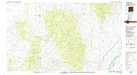
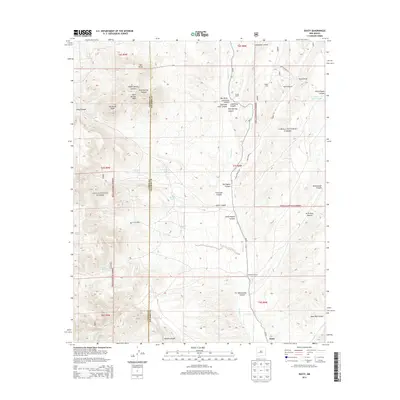
 1995 Dusty1998 Print · USGSSocorro and Catron counties appear here in the mid-1990s, revealing a landscape of high-country ranching and forest land. Genealogists and historians can locate family landmarks such as McCracken Ranch, Henderson Ranch, and the Pigeon Windmill.
 - 2005 Map of Dusty, 2006 Print
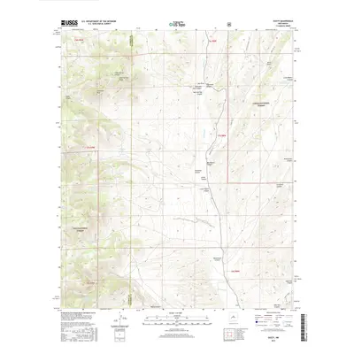
 2005 Dusty2006 Print · USGSRanching life in the high desert of Socorro and Catron counties is documented here as it appeared in the early 2000s. Genealogists and local historians can trace family-named outposts and vital water sources like Tucker Ranch, Henderson Ranch, and Pigeon Windmill.
 - 2011 Map of Dusty, 2011 Print
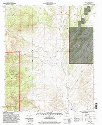
 2011 Dusty2011 Print · USGSCovers Dusty, including Socorro County, Catron County, and other nearby areas
 - 2013 Map of Dusty, 2013 Print
 2013 Dusty2013 Print · USGSCovers Dusty, including Socorro County, Catron County, and other nearby areas
 - 2017 Map of Dusty, 2017 Print
 2017 Dusty2017 Print · USGSCovers Dusty, including Socorro County, Catron County, and other nearby areas
 - 2020 Map of Dusty, 2020 Print
 2020 Dusty2020 Print · USGSCovers Dusty, including Socorro County, Catron County, and other nearby areas
 - 2023 Map of Dusty, 2023 Print
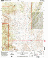
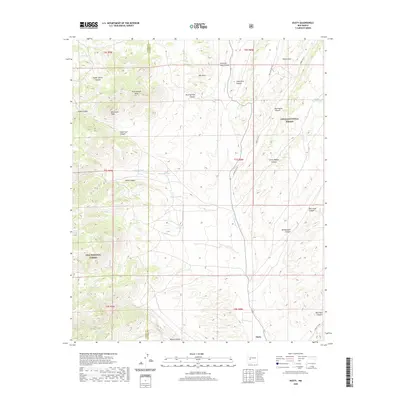
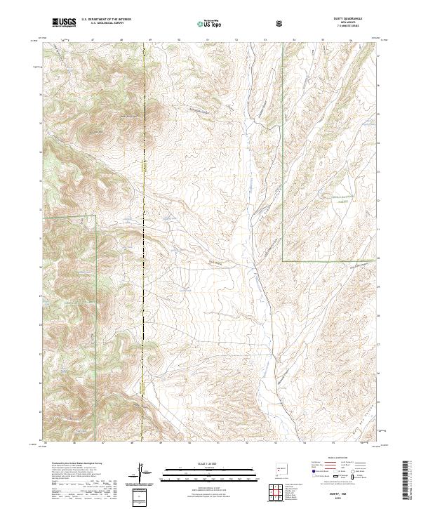 2023 Dusty2023 Print · USGSSocorro and Catron counties meet in this high-forest region as it appeared in recent years, dominated by the junctions of major national forest lands. Genealogists and historians can trace old transit lines like Old State Hwy 52 and remote water points including Outlaw Tank and Hells Tank.
End of results
Showing maps 1-11 of 11
Frequently asked questions
- What are the different types of historical maps available for Dusty?
- What is the oldest map of Dusty?
- Where can I purchase historical maps of Dusty for my home or office?
- Where can I download high-res historical maps of Dusty?
- Are there historical topographic maps available for Dusty?
- Is there historical aerial imagery available for Dusty?
- Where are historical maps of Dusty sourced from?