Old Maps of Triangle, New York for Academic Research
Study the evolution of Triangle with 34 high-resolution historic maps. Whether you're teaching, researching, or modeling changes in land use, these maps provide essential visual documentation of urban, environmental, and geographic change.
- Analyze long-term change: Track patterns in development, transportation, and natural features.
- Ideal for environmental or urban studies: Support academic projects with primary historical map data.
- Use in the classroom or lab: Educators and researchers rely on these maps to bring historical context to life.
These maps are a powerful tool for teaching, research, and visualizing how Triangle has changed over the decades.
Triangle, NY maps
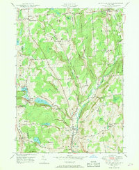
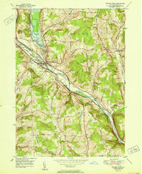
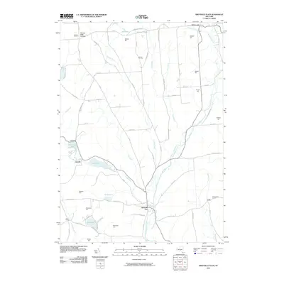
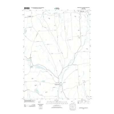
(34)- 1904 Map of Greene
 1904 Greene1904 Print · USGSThe river valleys of Chenango and Broome counties come alive in this turn-of-the-century survey. You can trace the path of the Delaware Lackawanna and Western RR through Whitney Point or locate the early structures in Greene and Smithville Flats.6 unique versions available
 - 1948 Map of Greene, 1968 Print
 1948 Greene1968 Print · USGSChenango County is captured here in the years following the war, showing the river-and-rail economy of the central valley. Genealogists and local historians can trace the Catskill Turnpike, find the Greene Landing Field, and locate family plots at Barnes Cem and Eliot Cem.
 - 1948 Map of Smithville Flats, 1968 Print
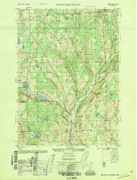
 1948 Smithville Flats1968 Print · USGSChenango County's rural heartland is captured here in the late 1940s, showing a landscape defined by creek-side villages and upland farmsteads. Researchers can trace ancestral lines through family-named sites like Knickerbocker Cem, Wilcox Corners, and the historic schoolhouse at Mariams Sch.3 unique versions available
 - 1948 Map of Binghamton, 1980 Print
 1948 Binghamton1980 Print · USGSCentral New York and the Southern Tier thrive in the late 1940s as a hub of rail traffic and mountain industry. Researchers can trace historic transit lines like the Erie Railroad through Binghamton or find old valley settlements near Oneonta and Delhi.
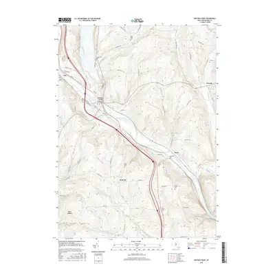
 - 1949 Map of Whitney Point, 1967 Print
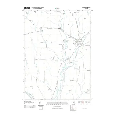
 1949 Whitney Point1967 Print · USGSBroome County was defined by its river valleys and rail lines in the late 1940s. Genealogists and local historians can trace family locations near Whitney Point and Hydeville, or locate rural burial grounds like King Street Cem and Adams Street Cem.3 unique versions available
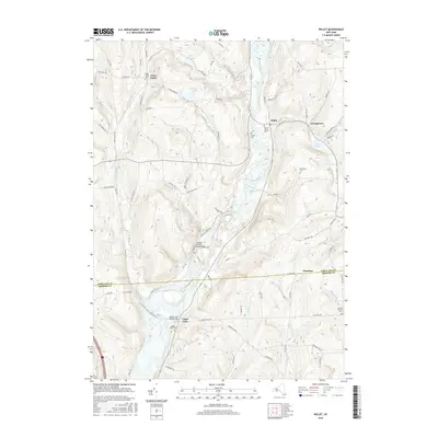
 - 1949 Map of Willet, 1970 Print
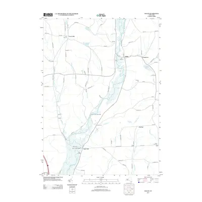
 1949 Willet1970 Print · USGSThe Otselic River valley in the late 1940s reveals a landscape of dispersed hamlets and family-named hilltops. Genealogists and historians can trace old community centers like Upper Lisle and Texas Valley or locate local burials at Green Cem.
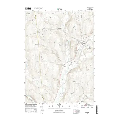
 - 1950 Map of Greene
 1950 Greene1950 Print · USGSThe Chenango River valley in the years after the war shows a landscape of rail-connected villages and historic turnpikes. Genealogists can locate family burial sites at Sylvan Lawn Cem and Horton Cem or trace the path of the Catskill Turnpike.
 - 1950 Map of Binghamton
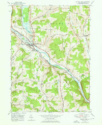
 1950 Binghamton1950 Print · USGSBinghamton and the surrounding Southern Tier are shown in the mid-century era, highlighting the intricate rail and river networks that drove local industry. Researchers can trace the path of the Erie Railroad and locate landmarks from Otsego Lake to Sidney Mountain.2 unique versions available
 - 1950 Map of Smithville Flats
 1950 Smithville Flats1950 Print · USGSMid-century Chenango County remains a landscape of dairy farms and small hamlets before modern development altered the rural character. Trace ancestral roots at Westview Cem, locate vanished schoolhouses like School No 1, and explore the banks of Genegantslet Creek.
 - 1951 Map of Willet
 1951 Willet1951 Print · USGSThe Otselic River valley in Cortland and Broome counties comes alive in this mid-century survey. Genealogists and local historians can trace the foundations of Upper Lisle and Texas Valley or locate family plots at Green Cem.
 - 1951 Map of Whitney Point
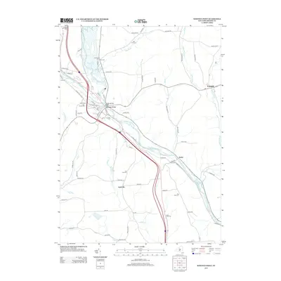
 1951 Whitney Point1951 Print · USGSBroome County villages and valley farms appear here at the midpoint of the century, following the completion of major flood control projects. Researchers can trace historic cemeteries like St Patricks Cem and the route of the Delaware Lackawanna and Western RR through Lisle and Whitney Point.
 - 1958 Map of Binghamton
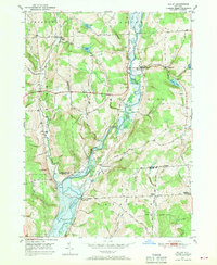
 1958 Binghamton1958 Print · USGSCentral New York in the late fifties was a network of manufacturing cities and river valleys connected by vital rail lines. Genealogists and historians can trace family roots in Oneonta, Norwich, and Cooperstown or locate long-standing farms along Schoharie Creek.
 - 1963 Map of Binghamton
 1963 Binghamton1963 Print · USGSThe Southern Tier and Catskill peaks are shown in the early sixties as new reservoirs reshaped the valleys. Trace historic rail corridors like the Erie Lackawanna RR and explore lakeside settlements such as Cooperstown and Oneonta.
 - 1985 Map of Binghamton, 1986 Print
 1985 Binghamton1986 Print · USGSThe Southern Tier during the mid-1980s shows a landscape of river-valley industry and expanding university campuses. Genealogists and local historians can trace family roots through riverside towns like Bainbridge, Sidney, and the Calvary Cem in the Binghamton area.2 unique versions available
 - 2010 Map of Willet, 2010 Print
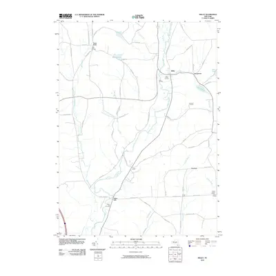 2010 Willet2010 Print · USGSCovers Triangle, including Lisle, Marathon, and other nearby areas
 - 2010 Map of Whitney Point, 2010 Print
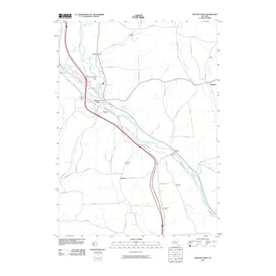 2010 Whitney Point2010 Print · USGSCovers Triangle, including Lisle, Barker, and other nearby areas
 - 2010 Map of Greene, 2010 Print
 2010 Greene2010 Print · USGSCovers Triangle, including Greene, Barker, and other nearby areas
 - 2010 Map of Smithville Flats, 2010 Print
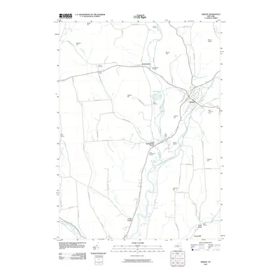
 2010 Smithville Flats2010 Print · USGSCovers Triangle, including Greene, Smithville, and other nearby areas
 - 2013 Map of Greene, 2013 Print
 2013 Greene2013 Print · USGSCovers Triangle, including Greene, Barker, and other nearby areas
 - 2013 Map of Willet, 2013 Print
 2013 Willet2013 Print · USGSCovers Triangle, including Lisle, Marathon, and other nearby areas
 - 2013 Map of Whitney Point, 2013 Print
 2013 Whitney Point2013 Print · USGSCovers Triangle, including Lisle, Barker, and other nearby areas
 - 2013 Map of Smithville Flats, 2013 Print
 2013 Smithville Flats2013 Print · USGSCovers Triangle, including Greene, Smithville, and other nearby areas
 - 2016 Map of Greene, 2016 Print
 2016 Greene2016 Print · USGSCovers Triangle, including Greene, Barker, and other nearby areas
 - 2016 Map of Willet, 2016 Print
 2016 Willet2016 Print · USGSCovers Triangle, including Lisle, Marathon, and other nearby areas
 - 2016 Map of Whitney Point, 2016 Print
 2016 Whitney Point2016 Print · USGSCovers Triangle, including Lisle, Barker, and other nearby areas
Showing maps 1-25 of 34
Top cities near Triangle
- Union historical maps
- Owego historical maps
- Johnson City historical maps
- Chenango historical maps
- Cortlandville historical maps
- Fenton historical maps
See more
Top neighborhoods of Triangle
Frequently asked questions
- What are the different types of historical maps available for Triangle?
- What is the oldest map of Triangle?
- Where can I purchase historical maps of Triangle for my home or office?
- Where can I download high-res historical maps of Triangle?
- Are there historical topographic maps available for Triangle?
- Is there historical aerial imagery available for Triangle?
- Where are historical maps of Triangle sourced from?