
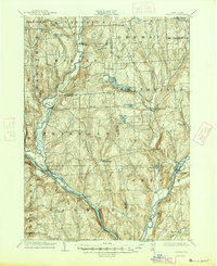
1904 Map of Greene
USGS Topo · Published 1904About this map
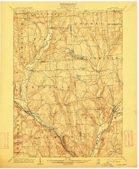
Whitney Point and the village of Greene anchor this 1904 survey, documenting a region defined by its prominent river valleys and agricultural hamlets. The landscape is characterized by the convergence of major waterways, including the Chenango River, the Otselic River, and the Tioughnioga River. Along these banks, the Delaware Lackawanna and Western RR tracks the river courses, connecting settlements like Itaska and Barker to larger regional hubs.
Find a feature on this map
48 named features on this map. Tap any name to fly to it.
Don’t see what you’re looking for? This feature index may not catch every label — zoom into the map to look around manually.
Map Details
Editions of this 1904 Greene Map
6 editions found
Other maps of this area

1901 · Apalachin
USGS Topo · 1:62,500

1902 · Coventry
USGS Topo · 1:62,500

1903 · Norwich
USGS Topo · 1:62,500

1903 · Cortland
USGS Topo · 1:62,500

1903 · Harford
USGS Topo · 1:62,500

1904 · Binghamton
USGS Topo · 1:62,500

1904 · Oxford
USGS Topo · 1:62,500

1904 · Apalachin
USGS Topo · 1:62,500

1904 · Pitcher
USGS Topo · 1:62,500

1905 · Nineveh
USGS Topo · 1:62,500