2000s (21st Century) Maps of Ira, New York
Explore 20 historic maps of Ira from the 2000s (21st Century). These maps offer a rare glimpse into what life looked like during the 2000s — showing old roads, neighborhoods, homes, and landmarks that have changed or disappeared over time.
Whether you're researching your family's past, planning a metal detecting trip, or studying how Ira's landscape evolved across the 2000s, these high-resolution maps are a powerful tool for exploring the history of this region.
- Focus on a specific era: All maps on this page are from the 2000s, giving you a focused view of this time period.
- See what’s changed: Compare century-old streets, trails, and buildings to today's modern landscape using overlays and satellite layers.
- Research with precision: Use these maps for genealogy, historical research, land use analysis, or educational projects.
- View, download, or print: Maps are fully viewable online in high resolution, and can be downloaded or printed for your own records.
Start exploring Ira's history through authentic maps from the 2000s. This is your window into the past.
Ira, NY maps
(20)- 2010 Map of Fulton, 2010 Print
 2010 Fulton2010 Print · USGSCovers Ira, including Fulton, Oswego, and other nearby areas
 - 2010 Map of Hannibal, 2010 Print
 2010 Hannibal2010 Print · USGSCovers Ira, including Oswego, Granby, and other nearby areas
 - 2010 Map of Lysander, 2010 Print
 2010 Lysander2010 Print · USGSCovers Ira, including Lysander, Van Buren, and other nearby areas
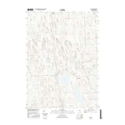
 - 2011 Map of Cato, 2011 Print
 2011 Cato2011 Print · USGSCovers Ira, including Cato, Conquest, and other nearby areas
 - 2013 Map of Hannibal, 2013 Print
 2013 Hannibal2013 Print · USGSCovers Ira, including Oswego, Granby, and other nearby areas
 - 2013 Map of Cato, 2013 Print
 2013 Cato2013 Print · USGSCovers Ira, including Cato, Conquest, and other nearby areas
 - 2013 Map of Fulton, 2013 Print
 2013 Fulton2013 Print · USGSCovers Ira, including Fulton, Oswego, and other nearby areas
 - 2013 Map of Lysander, 2013 Print
 2013 Lysander2013 Print · USGSCovers Ira, including Lysander, Van Buren, and other nearby areas
 - 2016 Map of Lysander, 2016 Print
 2016 Lysander2016 Print · USGSCovers Ira, including Lysander, Van Buren, and other nearby areas
 - 2016 Map of Cato, 2016 Print
 2016 Cato2016 Print · USGSCovers Ira, including Cato, Conquest, and other nearby areas
 - 2016 Map of Hannibal, 2016 Print
 2016 Hannibal2016 Print · USGSCovers Ira, including Oswego, Granby, and other nearby areas
 - 2016 Map of Fulton, 2016 Print
 2016 Fulton2016 Print · USGSCovers Ira, including Fulton, Oswego, and other nearby areas
 - 2019 Map of Cato, 2019 Print
 2019 Cato2019 Print · USGSCovers Ira, including Cato, Conquest, and other nearby areas
 - 2019 Map of Lysander, 2019 Print
 2019 Lysander2019 Print · USGSCovers Ira, including Lysander, Van Buren, and other nearby areas
 - 2019 Map of Hannibal, 2019 Print
 2019 Hannibal2019 Print · USGSCovers Ira, including Oswego, Granby, and other nearby areas
 - 2019 Map of Fulton, 2019 Print
 2019 Fulton2019 Print · USGSCovers Ira, including Fulton, Oswego, and other nearby areas
 - 2023 Map of Hannibal, 2023 Print
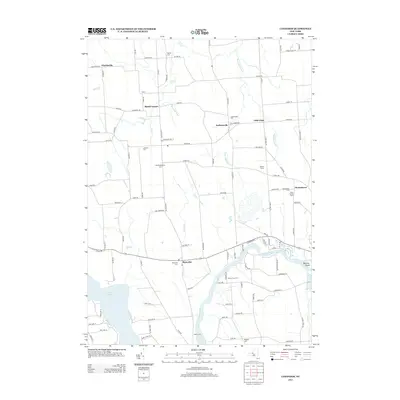
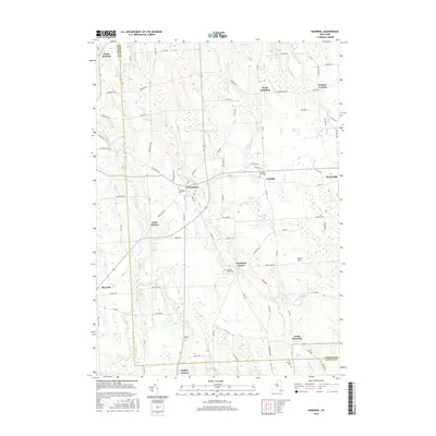
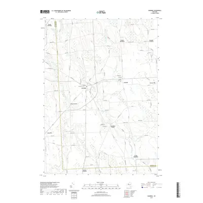
 2023 Hannibal2023 Print · USGSOswego and Cayuga Counties are shown here in the early twenty-first century, preserving a landscape of historic crossroads and rural hamlets. Local researchers can trace family landmarks and burial sites from Hannibal Cem to Pember Corners and the banks of Ninemile Creek.
 - 2023 Map of Fulton, 2023 Print
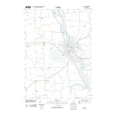
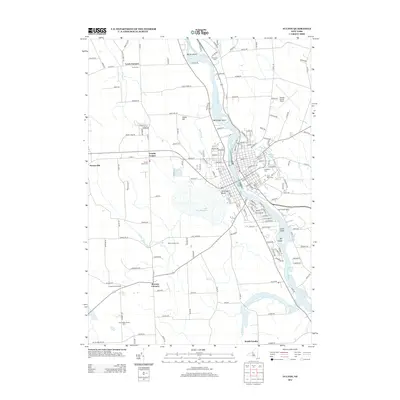
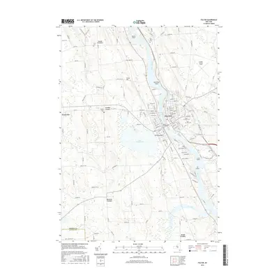
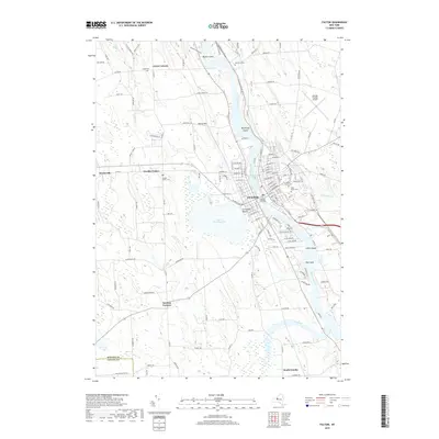
 2023 Fulton2023 Print · USGSThis recent survey of the Oswego River valley captures the industrial and agricultural landscape of central New York. Researchers can trace family history through several local burial grounds like Mount Abnah Cem or explore the shoreline of Lake Neatahwanta.
 - 2023 Map of Lysander, 2023 Print
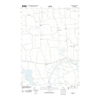
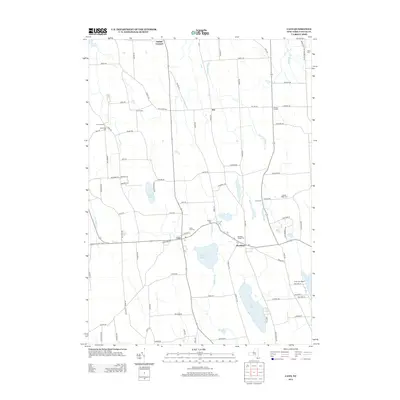
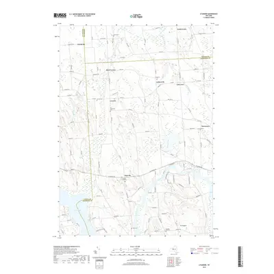
 2023 Lysander2023 Print · USGSThe Seneca River valley and its surrounding hamlets are captured here in the early twenty-first century. Genealogists and historians can trace family roots through the Plainville Rural Cem and Old Presbyterian Cem, or locate long-standing crossroads like Baird Corners.
 - 2023 Map of Cato, 2023 Print
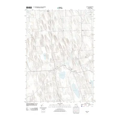
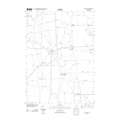
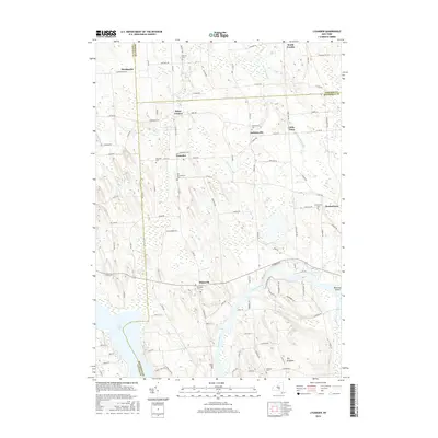
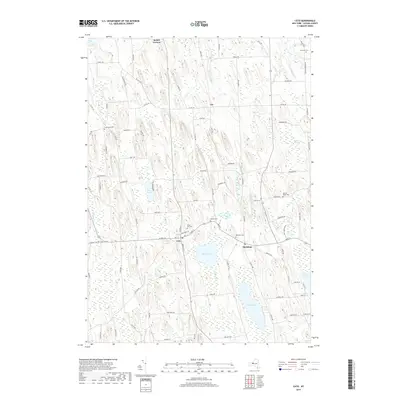
 2023 Cato2023 Print · USGSCayuga County’s drumlin fields and rural hamlets are meticulously mapped here in the early twenty-first century. Genealogists and local historians can trace family locations through numerous sites like Ira Union Cem, Dutton Cem, and the village centers of Cato and Meridian.
End of results
Showing maps 1-20 of 20
Top cities near Ira
- Camillus historical maps
- Lysander historical maps
- Oswego historical maps
- Van Buren historical maps
- Fulton historical maps
- Schroeppel historical maps
See more
Top neighborhoods of Ira
Frequently asked questions
- What are the different types of historical maps available for Ira?
- What is the oldest map of Ira?
- Where can I purchase historical maps of Ira for my home or office?
- Where can I download high-res historical maps of Ira?
- Are there historical topographic maps available for Ira?
- Is there historical aerial imagery available for Ira?
- Where are historical maps of Ira sourced from?