Old Maps of Chenango County, New York for Academic Research
Study the evolution of Chenango County with 97 high-resolution historic maps. Whether you're teaching, researching, or modeling changes in land use, these maps provide essential visual documentation of urban, environmental, and geographic change.
- Analyze long-term change: Track patterns in development, transportation, and natural features.
- Ideal for environmental or urban studies: Support academic projects with primary historical map data.
- Use in the classroom or lab: Educators and researchers rely on these maps to bring historical context to life.
These maps are a powerful tool for teaching, research, and visualizing how Chenango County has changed over the decades.
Chenango County, NY maps
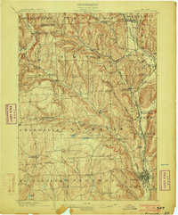
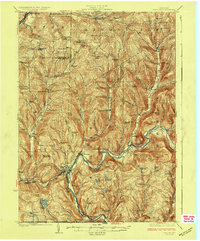
(97)- 1902 Map of Coventry
 1902 Coventry1902 Print · USGSCovers Chenango County, including Greene, Oxford, and other nearby areas2 unique versions available
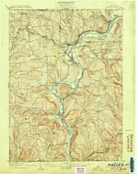
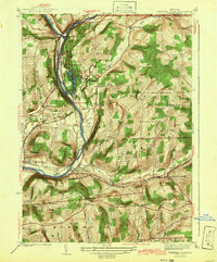
 - 1903 Map of Norwich
 1903 Norwich1903 Print · USGSCovers Chenango County, including Norwich, Hamilton, and other nearby areas5 unique versions available
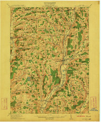
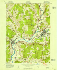
 - 1904 Map of Binghamton
 1904 Binghamton1904 Print · USGSCovers Chenango County, including Union, Binghamton, and other nearby areas9 unique versions available
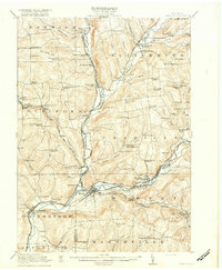
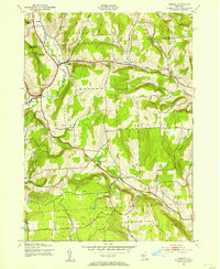
 - 1904 Map of Greene
 1904 Greene1904 Print · USGSCovers Chenango County, including Greene, Triangle, and other nearby areas6 unique versions available
 - 1904 Map of Oxford
 1904 Oxford1904 Print · USGSCovers Chenango County, including Greene, Oxford, and other nearby areas5 unique versions available
 - 1904 Map of Pitcher
 1904 Pitcher1904 Print · USGSCovers Chenango County, including DeRuyter, Solon, and other nearby areas5 unique versions available
 - 1905 Map of Nineveh
 1905 Nineveh1905 Print · USGSCovers Chenango County, including Fenton, Windsor, and other nearby areas6 unique versions available
 - 1910 Map of New Berlin, 1963 Print
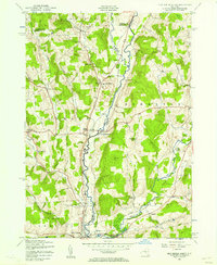
 1910 New Berlin1963 Print · USGSCovers Chenango County, including Hamilton, Sherburne, and other nearby areas
 - 1912 Map of New Berlin
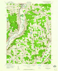
 1912 New Berlin1912 Print · USGSCovers Chenango County, including Hamilton, Sherburne, and other nearby areas4 unique versions available
 - 1915 Map of Unadilla, 1961 Print
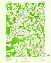
 1915 Unadilla1961 Print · USGSCovers Chenango County, including Sidney, Unadilla, and other nearby areas
 - 1918 Map of Unadilla
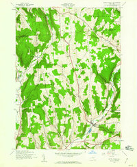
 1918 Unadilla1918 Print · USGSCovers Chenango County, including Sidney, Unadilla, and other nearby areas6 unique versions available
 - 1924 Map of Deposit, 1957 Print
 1924 Deposit1957 Print · USGSCovers Chenango County, including Bainbridge, Afton, and other nearby areas
 - 1926 Map of Deposit
 1926 Deposit1926 Print · USGSCovers Chenango County, including Bainbridge, Afton, and other nearby areas4 unique versions available
 - 1935 Map of Chenango Forks
 1935 Chenango Forks1935 Print · USGSCovers Chenango County, including Chenango, Fenton, and other nearby areas
 - 1942 Map of Chenango Forks
 1942 Chenango Forks1942 Print · USGSCovers Chenango County, including Chenango, Fenton, and other nearby areas3 unique versions available
 - 1943 Map of Sidney, 1953 Print
 1943 Sidney1953 Print · USGSCovers Chenango County, including Sidney, Unadilla, and other nearby areas3 unique versions available
 - 1943 Map of Otselic, 1954 Print
 1943 Otselic1954 Print · USGSCovers Chenango County, including Plymouth, Lebanon, and other nearby areas3 unique versions available
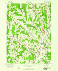
 - 1943 Map of New Berlin North, 1957 Print
 1943 New Berlin North1957 Print · USGSCovers Chenango County, including New Berlin, Brookfield, and other nearby areas4 unique versions available
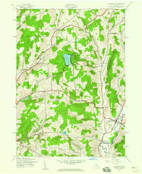
 - 1943 Map of New Berlin South, 1960 Print
 1943 New Berlin South1960 Print · USGSCovers Chenango County, including New Berlin, Morris, and other nearby areas3 unique versions available
 - 1943 Map of Gilbertsville, 1960 Print
 1943 Gilbertsville1960 Print · USGSCovers Chenango County, including Unadilla, Otego, and other nearby areas2 unique versions available
 - 1943 Map of South Ostelic, 1960 Print
 1943 South Ostelic1960 Print · USGSCovers Chenango County, including DeRuyter, Otselic, and other nearby areas3 unique versions available
 - 1943 Map of Cincinnatus, 1960 Print
 1943 Cincinnatus1960 Print · USGSCovers Chenango County, including Solon, Cincinnatus, and other nearby areas3 unique versions available
 - 1943 Map of Holmesville, 1960 Print
 1943 Holmesville1960 Print · USGSCovers Chenango County, including Norwich, New Berlin, and other nearby areas4 unique versions available
 - 1943 Map of Norwich, 1960 Print
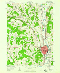 1943 Norwich1960 Print · USGSCovers Chenango County, including Norwich, Norwich, and other nearby areas2 unique versions available
 - 1943 Map of Guilford, 1960 Print
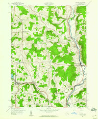 1943 Guilford1960 Print · USGSCovers Chenango County, including Unadilla, Norwich, and other nearby areas3 unique versions available
Showing maps 1-25 of 97
Top cities of Chenango County
- Norwich historical maps
- Greene historical maps
- Sherburne historical maps
- Oxford historical maps
- Norwich historical maps
- Bainbridge historical maps
See more
Frequently asked questions
- What are the different types of historical maps available for Chenango County?
- What is the oldest map of Chenango County?
- Where can I purchase historical maps of Chenango County for my home or office?
- Where can I download high-res historical maps of Chenango County?
- Are there historical topographic maps available for Chenango County?
- Is there historical aerial imagery available for Chenango County?
- Where are historical maps of Chenango County sourced from?