Old Maps of Bettsburg, Afton for Genealogy
Trace your family roots with 12 historic maps of Bettsburg. These high-res maps reveal old neighborhoods, homesites, landmarks, and streets — helping you uncover where your ancestors lived and how the area evolved over time.
- Explore historic neighborhoods: Identify where your relatives may have lived in the 1800s or 1900s.
- Compare maps over time: Trace the changes in streets, buildings, and landmarks for multi-generational research.
- Perfect for genealogy & ancestry research: Used by family historians and researchers to map out lineage and migration.
These maps are an incredible resource for exploring your personal connection to Bettsburg's past.
Bettsburg, Afton maps
(12)- 1905 Map of Nineveh
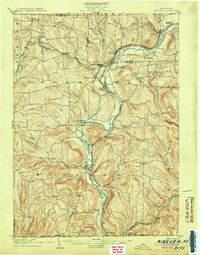 1905 Nineveh1905 Print · USGSBroome County at the turn of the century shows a landscape dominated by the winding Susquehanna River and vital rail corridors. Genealogists can trace early homesteads and hamlets from Vallonia Springs to Center Village, alongside the path of the Delaware and Hudson railroad.6 unique versions available
 - 1948 Map of Binghamton, 1980 Print
 1948 Binghamton1980 Print · USGSCentral New York and the Southern Tier thrive in the late 1940s as a hub of rail traffic and mountain industry. Researchers can trace historic transit lines like the Erie Railroad through Binghamton or find old valley settlements near Oneonta and Delhi.
 - 1950 Map of Binghamton
 1950 Binghamton1950 Print · USGSBinghamton and the surrounding Southern Tier are shown in the mid-century era, highlighting the intricate rail and river networks that drove local industry. Researchers can trace the path of the Erie Railroad and locate landmarks from Otsego Lake to Sidney Mountain.2 unique versions available
 - 1957 Map of Afton, 1959 Print
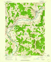 1957 Afton1959 Print · USGSThe Susquehanna River valley in the late fifties was a busy corridor of rail traffic and river towns. You can trace the Delaware and Hudson railroad through Nineveh Junction, locate old family plots at The Plains Cem, or find the secluded Vallonia Springs.4 unique versions available
 - 1958 Map of Binghamton
 1958 Binghamton1958 Print · USGSCentral New York in the late fifties was a network of manufacturing cities and river valleys connected by vital rail lines. Genealogists and historians can trace family roots in Oneonta, Norwich, and Cooperstown or locate long-standing farms along Schoharie Creek.
 - 1963 Map of Binghamton
 1963 Binghamton1963 Print · USGSThe Southern Tier and Catskill peaks are shown in the early sixties as new reservoirs reshaped the valleys. Trace historic rail corridors like the Erie Lackawanna RR and explore lakeside settlements such as Cooperstown and Oneonta.
 - 1985 Map of Binghamton, 1986 Print
 1985 Binghamton1986 Print · USGSThe Southern Tier during the mid-1980s shows a landscape of river-valley industry and expanding university campuses. Genealogists and local historians can trace family roots through riverside towns like Bainbridge, Sidney, and the Calvary Cem in the Binghamton area.2 unique versions available
 - 2010 Map of Afton, 2010 Print
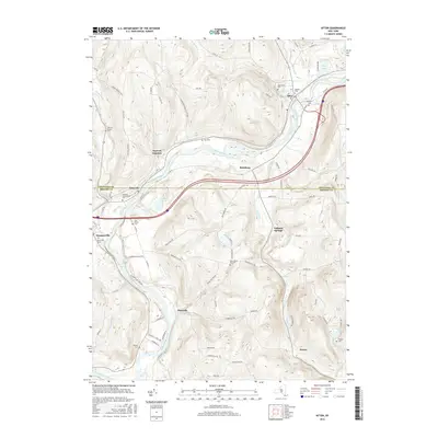
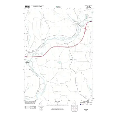 2010 Afton2010 Print · USGSCovers Bettsburg, including Windsor, Colesville, and other nearby areas
 - 2013 Map of Afton, 2013 Print
 2013 Afton2013 Print · USGSCovers Bettsburg, including Windsor, Colesville, and other nearby areas
 - 2016 Map of Afton, 2016 Print
 2016 Afton2016 Print · USGSCovers Bettsburg, including Windsor, Colesville, and other nearby areas
 - 2019 Map of Afton, 2019 Print
 2019 Afton2019 Print · USGSCovers Bettsburg, including Windsor, Colesville, and other nearby areas
 - 2023 Map of Afton, 2023 Print
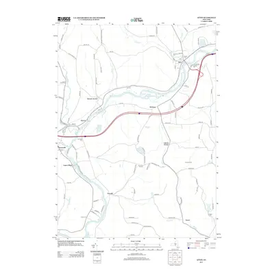
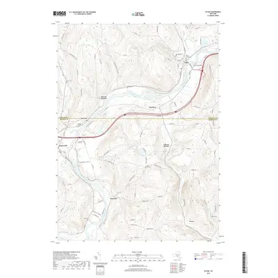
 2023 Afton2023 Print · USGSThe Susquehanna River valley in the Southern Tier is shown here in the early twenty-first century as it winds through a landscape of historic river towns. Researchers can trace the layout of Afton, Nineveh, and Doraville, or locate family sites like Stevens Cem and Huggins Cem.
End of results
Showing maps 1-12 of 12
Top cities near Bettsburg
- Fenton historical maps
- Windsor historical maps
- Sidney historical maps
- Kirkwood historical maps
- Greene historical maps
- Conklin historical maps
See more
Frequently asked questions
- What are the different types of historical maps available for Bettsburg?
- What is the oldest map of Bettsburg?
- Where can I purchase historical maps of Bettsburg for my home or office?
- Where can I download high-res historical maps of Bettsburg?
- Are there historical topographic maps available for Bettsburg?
- Is there historical aerial imagery available for Bettsburg?
- Where are historical maps of Bettsburg sourced from?