2010s Maps of Columbia County, New York
Explore 90 historic maps of Columbia County from the 2010s. These maps offer a rare glimpse into what life looked like during the 2010s — showing old roads, neighborhoods, homes, and landmarks that have changed or disappeared over time.
Whether you're researching your family's past, planning a metal detecting trip, or studying how Columbia County's landscape evolved across the 2010s, these high-resolution maps are a powerful tool for exploring the history of this region.
- Focus on a specific era: All maps on this page are from the 2010s, giving you a focused view of this time period.
- See what’s changed: Compare century-old streets, trails, and buildings to today's modern landscape using overlays and satellite layers.
- Research with precision: Use these maps for genealogy, historical research, land use analysis, or educational projects.
- View, download, or print: Maps are fully viewable online in high resolution, and can be downloaded or printed for your own records.
Start exploring Columbia County's history through authentic maps from the 2010s. This is your window into the past.
Columbia County, NY maps
(90)- 2010 Map of Copake, 2010 Print
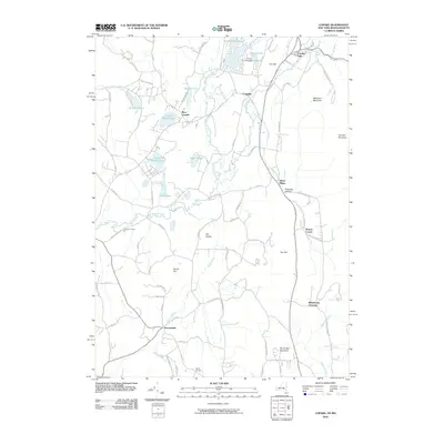 2010 Copake2010 Print · USGSEastern Columbia County at the start of the 21st century remains a landscape of historic hamlets and water-powered history. Genealogists and historians can trace the paths between Copake Falls, the legacy of Weed Mines, and agricultural sites like Thompson- Finch Farm.
 - 2010 Map of East Chatham, 2010 Print
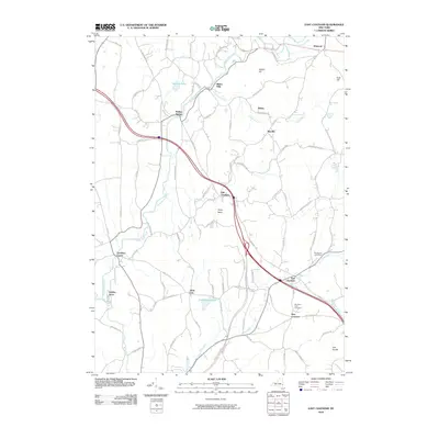 2010 East Chatham2010 Print · USGSUpper Columbia County and the southern edge of Rensselaer County appear here as a landscape of historic hamlets and winding creeks during the early twenty-first century. Genealogists can trace family names at Mountain View Cemetery or explore the old routes through Old Chatham and Riders Mills.
 - 2010 Map of Egremont, 2010 Print
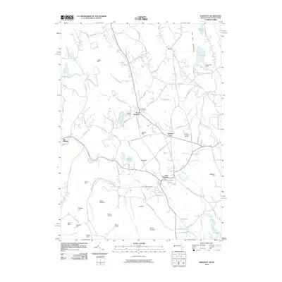 2010 Egremont2010 Print · USGSThe Berkshires and the New York state line are captured here as they appeared in 2010. Researchers can trace local history through landmarks like Riverside Cemetery, the South Egremont Post Office, and the early aviation grounds of Great Barrington Airport.
 - 2010 Map of Ravena, 2010 Print
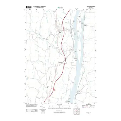 2010 Ravena2010 Print · USGSThe Hudson River valley at the turn of the decade shows a landscape of historic riverfront landings and upland cemeteries. Genealogists can trace family names at Stanton Hill or Firwood, while exploring the reach from Schodack Landing down to the Coxsackie Lighthouse.
 - 2010 Map of Pittsfield West, 2010 Print
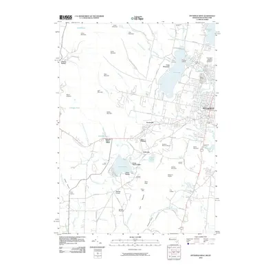 2010 Pittsfield West2010 Print · USGSThe Berkshire foothills and western Pittsfield are shown here at the start of the 2010s, where traditional Shaker lands meet modern ski slopes. Researchers can trace local history at Hancock Shaker Village, the Pittsfield Cemetery, or the historic Lebanon Springs crossing.
 - 2010 Map of Ancram, 2010 Print
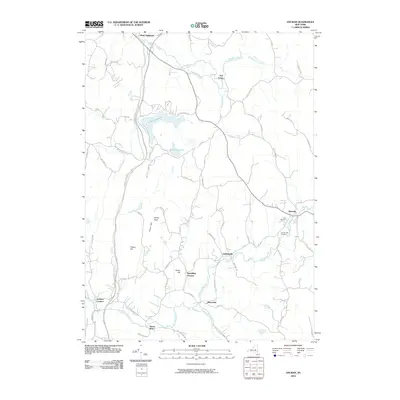 2010 Ancram2010 Print · USGSColumbia County's rural hamlets and creek-side settlements are detailed here in the early twenty-first century. Genealogists and historians can trace family locations near Ancram Old Cemetery or the sites of Spaulding Furnace and Silvernails.
 - 2010 Map of Chatham, 2010 Print
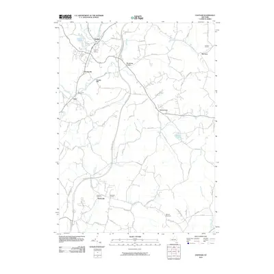 2010 Chatham2010 Print · USGSColumbia County at the start of the 21st century remains a landscape of historic hamlets and winding kills. Researchers can trace family roots at the Chatham Rural Cemetery or locate old industrial sites like Arnolds Mill and the community of Spencertown.
 - 2010 Map of Millerton, 2010 Print
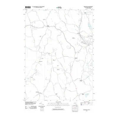 2010 Millerton2010 Print · USGSDutchess County is shown here in the early twenty-first century, capturing a landscape of rural hamlets and upland farms along the Connecticut border. Researchers can trace ancestral sites at the Smithfield Burying Grounds or locate early rail hubs at Sharon Station and Coleman Station.
 - 2010 Map of Claverack, 2010 Print
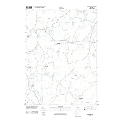 2010 Claverack2010 Print · USGSColumbia County’s landscape of hamlets and historic mills is preserved here as it appeared in the early twenty-first century. Genealogists and local historians can trace legacy sites like Linlithgo Mills, the waters of Agawamuck Creek, and the orchards surrounding Churchtown.
 - 2010 Map of Clermont, 2010 Print
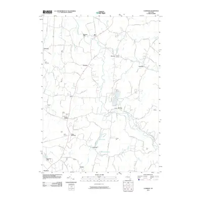 2010 Clermont2010 Print · USGSThe rural landscape of the Hudson Valley is documented here at the turn of the millennium, showing a network of historic farming hamlets and estates. Genealogists and historians can trace the foundations of Upper Red Hook, Bingham Mills, and several family burial grounds including Elizaville Cemetery.
 - 2010 Map of Stottville, 2010 Print
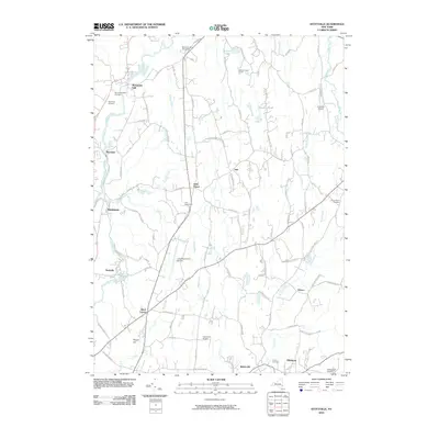 2010 Stottville2010 Print · USGSColumbia County's rural landscape at the turn of the 21st century remains anchored by its historic hamlets and famous homesteads. Researchers can locate significant landmarks like the Ichabod Crane Home, Brick Tavern, and the Stuyvesant Falls Cemetery.
 - 2010 Map of Hillsdale, 2010 Print
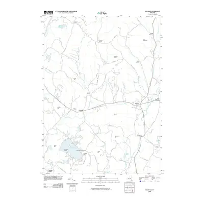 2010 Hillsdale2010 Print · USGSColumbia County in the early twenty-first century remains a landscape of historic hamlets and high ridges. Researchers can locate family burial plots at Crum Church Cemetery or Niver Cemetery and trace landmarks like the Black Grocery Bridge and Copake Lake Seaplane Base.
 - 2010 Map of Saugerties, 2010 Print
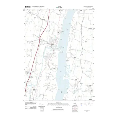 2010 Saugerties2010 Print · USGSThe Hudson River valley around Saugerties and Tivoli is documented here in the early twenty-first century. Researchers can trace historical family sites and local landmarks like Potts Farm, Mount View Cemetery, and the riverfront at Malden-on-Hudson.
 - 2010 Map of Hudson South, 2010 Print
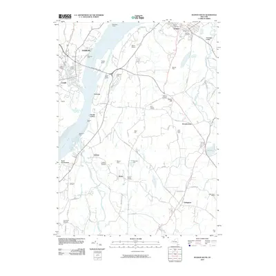 2010 Hudson South2010 Print · USGSThe Hudson River valley at the end of the first decade of the new millennium shows a landscape deeply rooted in its maritime and agricultural past. Researchers can trace numerous family and community burial grounds, including Buckley's Corner Cemetery, and locate river landmarks like Hamburg Light and Rogers Island.
 - 2010 Map of Hudson North, 2010 Print
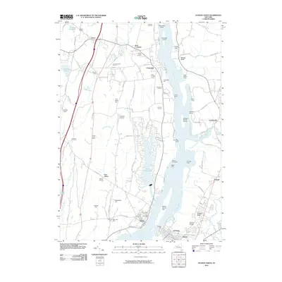 2010 Hudson North2010 Print · USGSThe upper Hudson River valley comes into focus in 2010, showing the riverside communities of Athens and Coxsackie. Genealogists can trace family names through the Bronck House, Mount Hope Cemetery, and Saint Marys Cemetery while mapping the reach of Murderers Creek.
 - 2010 Map of Cementon, 2010 Print
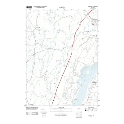 2010 Cementon2010 Print · USGSThe Hudson River valley at the turn of the decade shows a blend of riverside industry and inland farming. Researchers can trace historic settlements from Kiskatom to Cementon, or locate family sites near Jefferson Rural Cemetery and Wagar Orchards.
 - 2010 Map of Kinderhook, 2010 Print
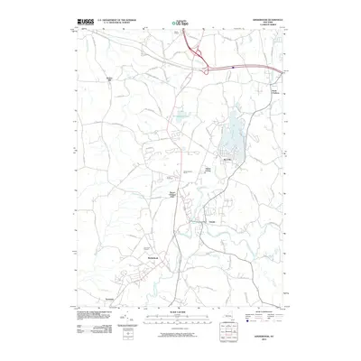 2010 Kinderhook2010 Print · USGSThe Hudson Valley communities of Kinderhook and Valatie are shown in detail during the early 21st century. Genealogists and historians can trace family land at Samascott Orchard or Yonder FruitFarms and locate properties near Kinderhook Lake and Niverville.
 - 2010 Map of Canaan, 2010 Print
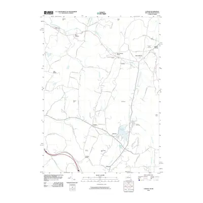 2010 Canaan2010 Print · USGSCanaan and the Lebanon Valley are mapped here during the early twenty-first century, showcasing a landscape of historic crossroads and mountain terrain. Researchers can locate family sites at the Cemetery of the Evergreens or trace the shores of Queechy Lake.
 - 2010 Map of Stephentown Center, 2010 Print
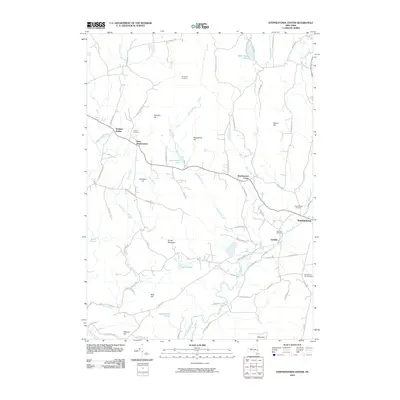 2010 Stephentown Center2010 Print · USGSEastern Rensselaer County is seen here in the early twenty-first century, showing the rural character of its scattered hamlets and upland terrain. Researchers can locate family sites and landmarks like Hillside Cemetery, the Seven Hill Firetower, and Dunham Hollow.
 - 2010 Map of Pine Plains, 2010 Print
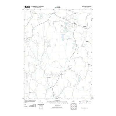 2010 Pine Plains2010 Print · USGSDutchess County's northern valley is captured here in the early twenty-first century, showing a landscape defined by prominent ridges and historic hamlets. Researchers can trace the local heritage of rural settlements like Pachin Mills, Lafayetteville, and Bangall alongside the waters of Thompson Pond.
 - 2011 Map of State Line, 2011 Print
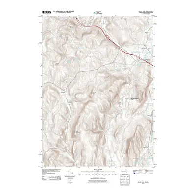 2011 State Line2011 Print · USGSThe Massachusetts and New York border highlands are captured here in the early twenty-first century, showing the legacy of the iron industry and mountain settlements. Researchers can trace industrial sites like Richmond Furnace and Leet Ore Bed Pond alongside old family plots at Austerlitz Cemetery.
 - 2012 Map of Hancock, 2012 Print
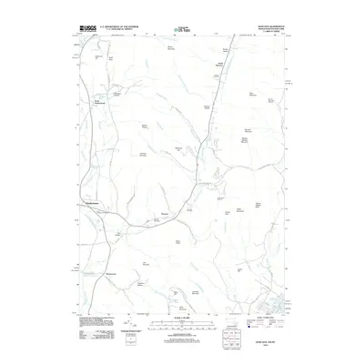 2012 Hancock2012 Print · USGSThe Taconic borderlands come alive in this 2012 study of the high ridges and narrow valleys along the New York line. Genealogists and hikers can trace paths through Doty Hollow, locate the Hancock Post Office, and find family markers at Gardner Cemetery.2 unique versions available
 - 2012 Map of State Line, 2012 Print
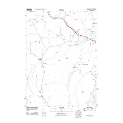 2012 State Line2012 Print · USGSThe Massachusetts-New York borderlands in the early 21st century reveal a landscape of former iron industry and quiet hamlets. Genealogists and historians can trace industrial roots at Richmond Furnace or find ancestral sites at Rockdale Cem and Austerlitz Cem.
 - 2012 Map of Egremont, 2012 Print
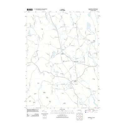 2012 Egremont2012 Print · USGSThe Berkshires at the start of the 2010s reveal a landscape of longstanding villages and mountain peaks. Genealogists and researchers can trace local landmarks like Riverside Cem or follow the paths of Shun Toll Rd and Stagecoach Rd.
 - 2012 Map of Pittsfield West, 2012 Print
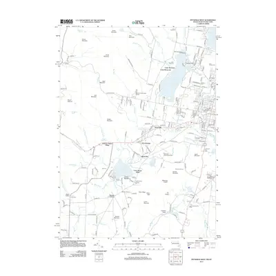 2012 Pittsfield West2012 Print · USGSWestern Berkshire County is documented here in the early twenty-first century, showing the transition from city streets to mountain ridges. Genealogists and historians can locate Hancock Shaker Village, several local cemeteries, and old neighborhood clusters like Barkerville and Stevens Corner.
Showing maps 1-25 of 90
Top cities of Columbia County
- Kinderhook historical maps
- Claverack historical maps
- Hudson historical maps
- Ghent historical maps
- Greenport historical maps
- Chatham historical maps
See more
Frequently asked questions
- What are the different types of historical maps available for Columbia County?
- What is the oldest map of Columbia County?
- Where can I purchase historical maps of Columbia County for my home or office?
- Where can I download high-res historical maps of Columbia County?
- Are there historical topographic maps available for Columbia County?
- Is there historical aerial imagery available for Columbia County?
- Where are historical maps of Columbia County sourced from?