2020s Maps of Columbia County, New York
Explore 28 historic maps of Columbia County from the 2020s. These maps offer a rare glimpse into what life looked like during the 2020s — showing old roads, neighborhoods, homes, and landmarks that have changed or disappeared over time.
Whether you're researching your family's past, planning a metal detecting trip, or studying how Columbia County's landscape evolved across the 2020s, these high-resolution maps are a powerful tool for exploring the history of this region.
- Focus on a specific era: All maps on this page are from the 2020s, giving you a focused view of this time period.
- See what’s changed: Compare century-old streets, trails, and buildings to today's modern landscape using overlays and satellite layers.
- Research with precision: Use these maps for genealogy, historical research, land use analysis, or educational projects.
- View, download, or print: Maps are fully viewable online in high resolution, and can be downloaded or printed for your own records.
Start exploring Columbia County's history through authentic maps from the 2020s. This is your window into the past.
Columbia County, NY maps
(28)- 2021 Map of Pittsfield West, 2021 Print
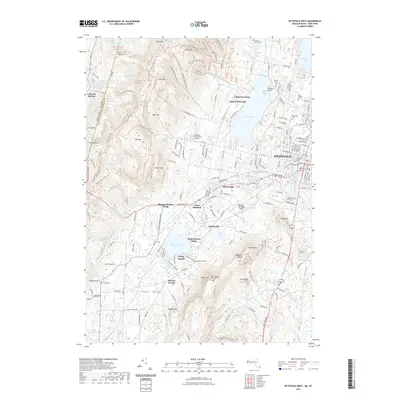 2021 Pittsfield West2021 Print · USGSThe Berkshires and the New York state line meet here in this contemporary look at the western edge of Pittsfield. Genealogists and historians can trace the preserved heritage of Hancock Shaker Village and locate family plots in Love of Peace Cem or North Cem.
 - 2021 Map of Egremont, 2021 Print
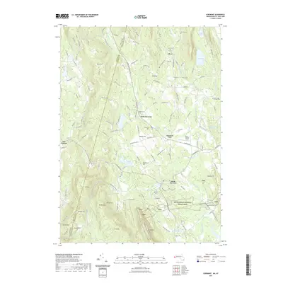 2021 Egremont2021 Print · USGSThe Taconic Range and fertile river valleys define this Berkshire County borderland in 2021. Trace the Appalachian Trail through the heights or locate family sites at Riverside Cem and South Egremont.
 - 2021 Map of Bash Bish Falls, 2021 Print
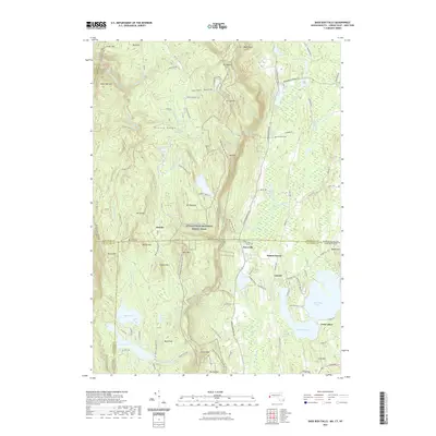 2021 Bash Bish Falls2021 Print · USGSThe tri-state corner of New York, Massachusetts, and Connecticut is captured here in the early twenty-first century. Genealogists and hikers can trace the Appalachian National Scenic Trail past Churchill Cem and the historic iron-era Scoville Ore Mine Rd.
 - 2021 Map of Hancock, 2021 Print
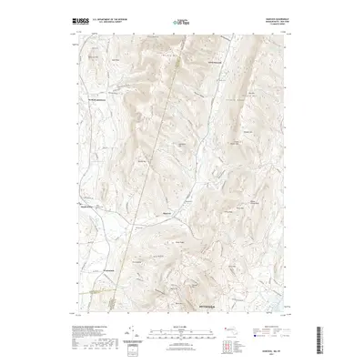 2021 Hancock2021 Print · USGSThe interstate borderlands of Massachusetts and New York come alive on this map, showing the steep ridges and settled valleys of the Taconic Range. Researchers can trace historic family burial sites like Saint Josephs Cem and Hancock Cem or follow the paths of Kinderhook Cr and the Taconic Crest Trl.
 - 2021 Map of State Line, 2021 Print
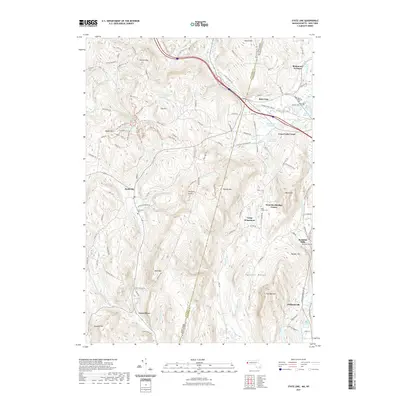 2021 State Line2021 Print · USGSThe Massachusetts and New York border comes alive in the early twenty-first century, showing the enduring hamlets of the Taconic Range. Genealogists can trace family roots at Saint Patricks Cem or explore the industrial legacy of Richmond Furnace and Rockdale Mills.
 - 2023 Map of Millerton, 2023 Print
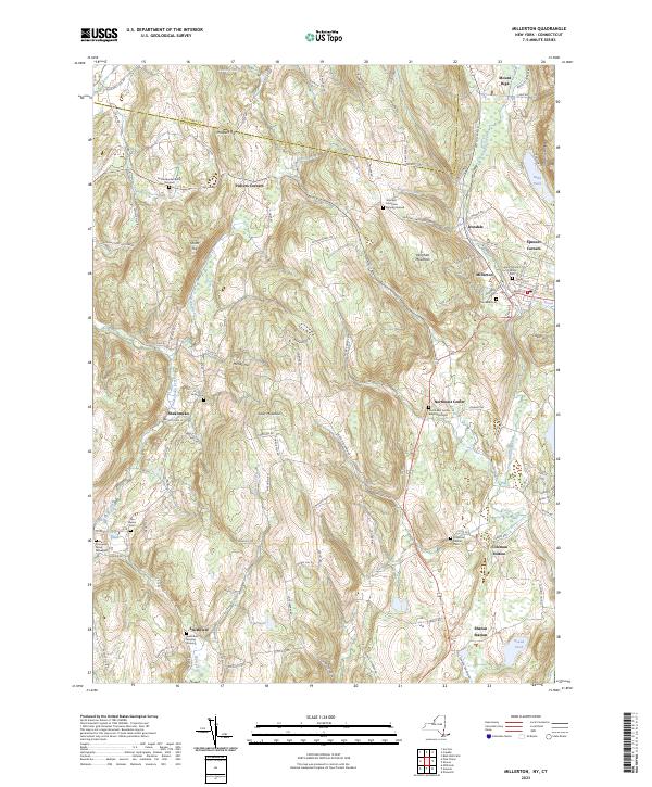 2023 Millerton2023 Print · USGSDutchess County settlement and the foothills of the Taconic Range come into focus in this contemporary survey of the Harlem Valley. Genealogists and historians can trace family legacy through numerous sites like Knickerbocker Burial Ground, Irondale Cem, and the rail stops at Sharon Station.
 - 2023 Map of Copake, 2023 Print
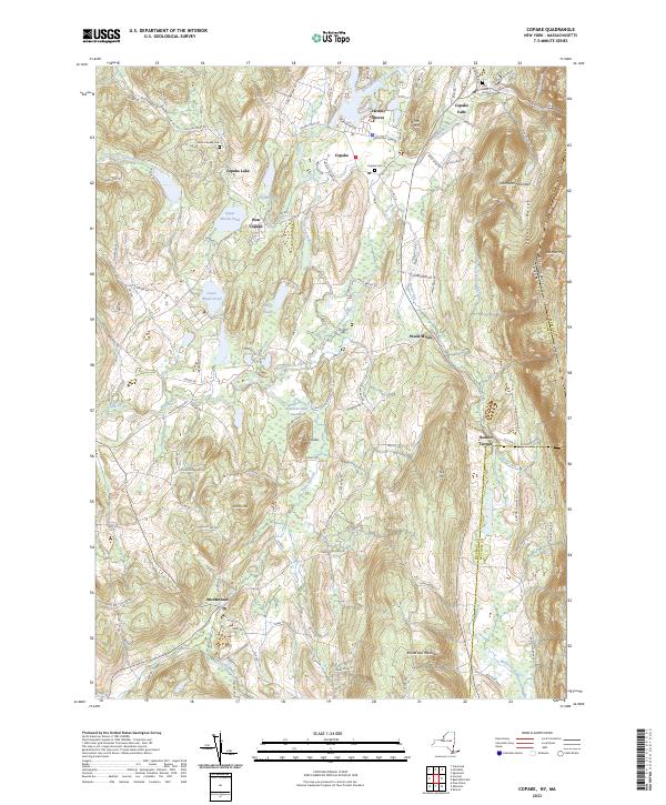 2023 Copake2023 Print · USGSColumbia County’s eastern borderland comes alive in this survey, capturing the agricultural and industrial valley at the foot of the Taconic Range. Genealogists and historians can trace the roads to Boston Corner, locate the Weed Mines, or find family names near Ancramdale.
 - 2023 Map of Stottville, 2023 Print
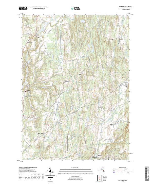 2023 Stottville2023 Print · USGSStuyvesant Falls and the surrounding Columbia County hills are shown in this modern survey. Genealogists can trace family heritage through sites like Snyder Cem and Saint Marys Cem, or locate landmarks such as Brick Tavern.
 - 2023 Map of Cementon, 2023 Print
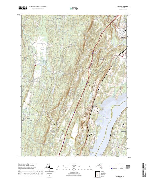 2023 Cementon2023 Print · USGSThe Hudson River valley near the Greene and Columbia county lines comes alive in this detailed recent survey. Genealogists and local historians can trace family plots at Jefferson Rural Cem or explore the riverfront geography of Cementon and Inbocht Bay.
 - 2023 Map of Hudson South, 2023 Print
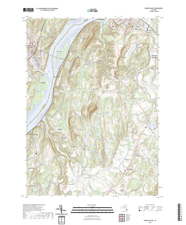 2023 Hudson South2023 Print · USGSThe Hudson River corridor south of the city of Hudson is captured here in 2023, showing the modern landscape of Greene and Columbia counties. Researchers can trace ancestral sites at Livingston Reformed Cem and Mount Pleasant Cem or locate the Greene County Courthouse in Catskill.
 - 2023 Map of Kinderhook, 2023 Print
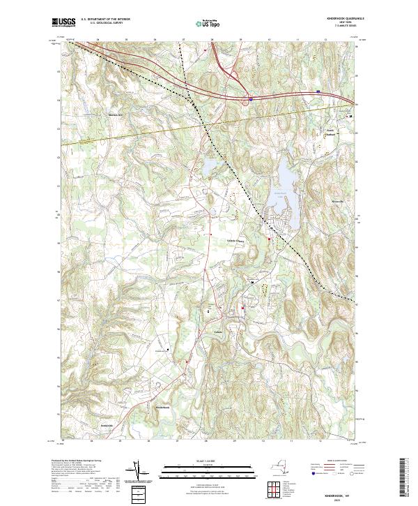 2023 Kinderhook2023 Print · USGSUpper Columbia County settlements and winding waterways define this region south of the Rensselaer line. Researchers can trace the layout of Kinderhook and Valatie, while locating family history at North Chatham Cem and Woodlawn Cem.
 - 2023 Map of Clermont, 2023 Print
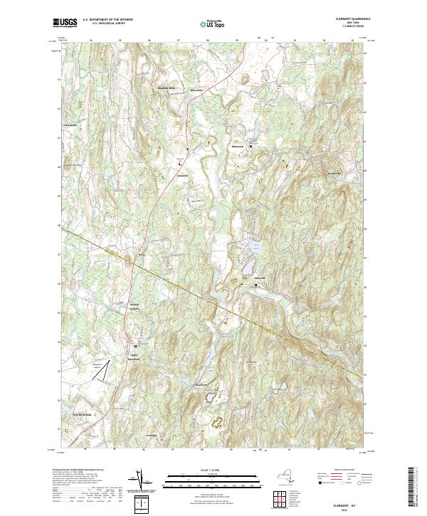 2023 Clermont2023 Print · USGSThe rural borderlands of Columbia and Dutchess counties come into focus in this contemporary survey. Historians can trace the winding Roeliff Jansen Kill past Bingham Mills and Blue Store, or locate legacy burial sites like the Saint John's Church Cem.
 - 2023 Map of Hudson North, 2023 Print
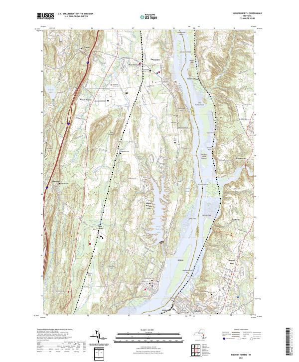 2023 Hudson North2023 Print · USGSThe Hudson River valley north of Hudson shows its modern mix of riverfront industry and historic settlement in this recent survey. Researchers can trace local lineage through sites like the Coxsackie Village Cem and landmark estates such as the Bronck House.
 - 2023 Map of Hillsdale, 2023 Print
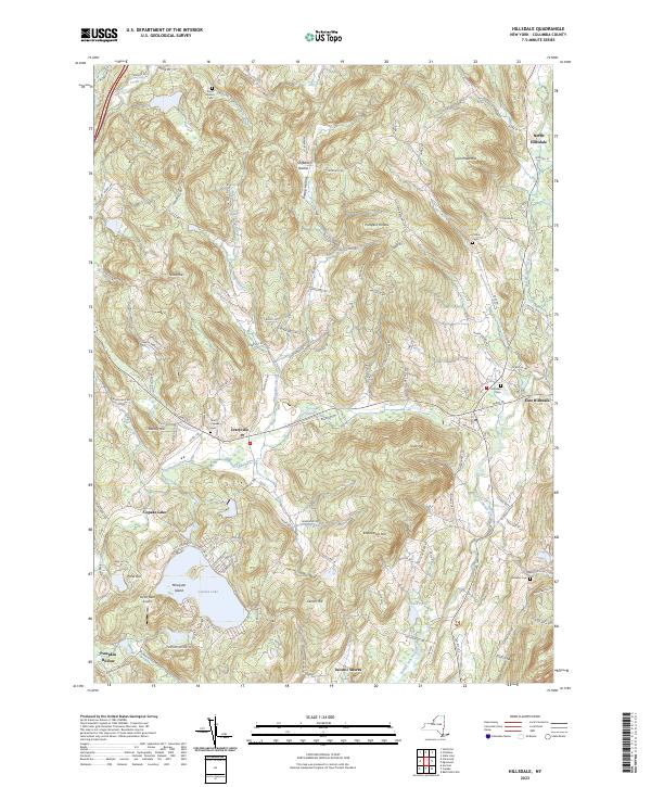 2023 Hillsdale2023 Print · USGSColumbia County’s eastern uplands come into focus in this contemporary survey of the hills surrounding Craryville and East Hillsdale. Genealogists and local researchers can locate established sites like Krum Church Cemetery and Williams Cem or trace the drainage of the Roeliff Jansen Kill.
 - 2023 Map of Ravena, 2023 Print
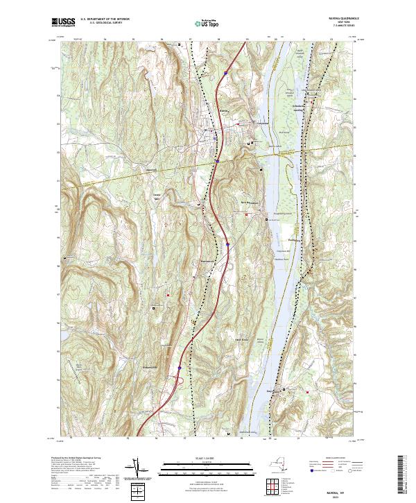 2023 Ravena2023 Print · USGSThe Hudson River valley at the start of the 2020s reveals a landscape shaped by river commerce and rural tradition. Genealogy researchers can locate several small family burial sites like Lish Homestead Cem and Van Zandt Cem near the river hamlets of Schodack Landing and Stuyvesant.
 - 2023 Map of Chatham, 2023 Print
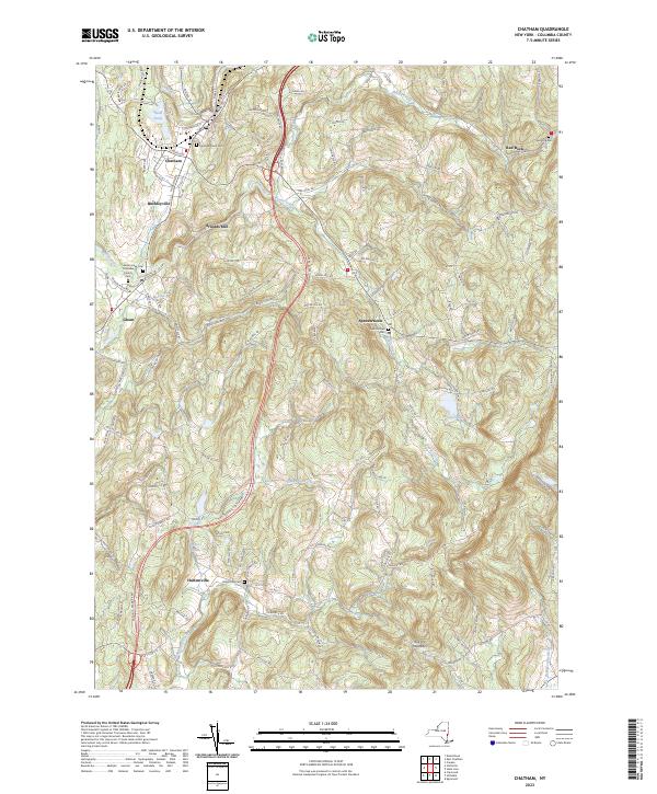 2023 Chatham2023 Print · USGSColumbia County’s landscape remains deeply rooted in its agricultural and milling history in this recent survey. Local researchers can trace family lands and rural hamlets like Arnolds Mill and Harlemville, or locate burial sites at Chatham Rural Cem and Red Rock Cem.
 - 2023 Map of East Chatham, 2023 Print
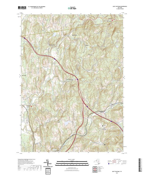 2023 East Chatham2023 Print · USGSThis part of eastern New York shows a landscape of historic hamlets and valley streams as they appeared in 2023. Researchers can trace the lineage of the region through sites like East Chatham, the Cem of the Maples, and Riders Mills.
 - 2023 Map of Pine Plains, 2023 Print
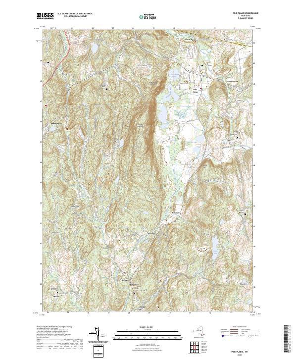 2023 Pine Plains2023 Print · USGSIn the Hudson Valley uplands during the early twenty-first century, this area shows a landscape of long-established hamlets and family burial sites. Trace genealogy and local history at the Wirehouse Burial Ground, Hammertown, and Pachin Mills.
 - 2023 Map of Saugerties, 2023 Print
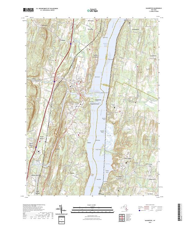 2023 Saugerties2023 Print · USGSModern-day settlement patterns along the Hudson River valley reveal deep historical roots near Saugerties and Tivoli. Researchers can trace local heritage through sites like Bard College, Katsbaan, and the Old Red - Madalin Church Cemetery.
 - 2023 Map of Canaan, 2023 Print
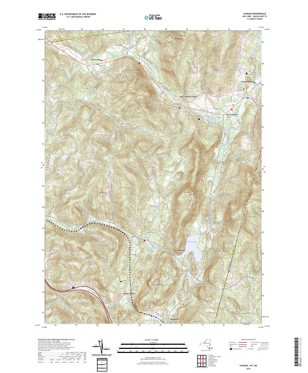 2023 Canaan2023 Print · USGSThe borderlands of Columbia County, New York, come to life in this detailed view of the rural settlements and steep ridges of the Taconic Range. Local historians can trace old homesteads near Canaan Center or locate burial sites at the Cem of the Evergreens.
 - 2023 Map of Claverack, 2023 Print
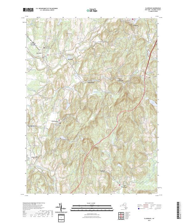 2023 Claverack2023 Print · USGSColumbia County hamlets and historic parishes define the landscape in this contemporary survey of eastern New York. Genealogists and local historians can trace the foundations of Churchtown, Philmont, and Glenco Mills near sites like Saint Thomas Evangelical Lutheran Church.
 - 2023 Map of Ancram, 2023 Print
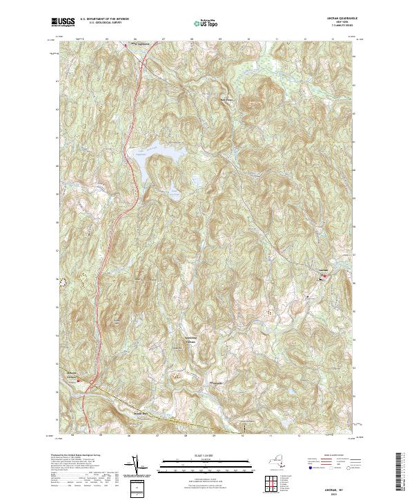 2023 Ancram2023 Print · USGSSpanning the border of Columbia and Dutchess counties in 2023, this terrain shows the persistent rural character of the Hudson Highlands. Researchers can locate Union Cem, trace the Roeliff Jansen Kill, and explore historic hamlets like Spaulding Furnace.
 - 2023 Map of Stephentown Center, 2023 Print
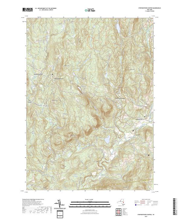 2023 Stephentown Center2023 Print · USGSRensselaer County's highland terrain comes alive in this contemporary survey of eastern New York. Genealogists and hikers can trace rural routes to Hillside Cem, explore Cherry Plain State Park, or locate old settlements like Dunham Hollow and Garfield.
 - 2024 Map of State Line, 2024 Print
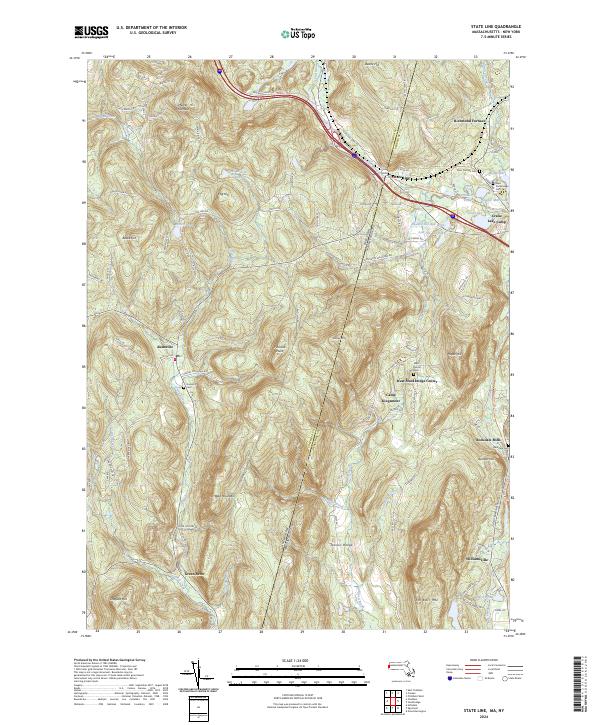 2024 State Line2024 Print · USGSThe Berkshire and Columbia County borderlands are mapped here during a period of modern transition. You can trace the industrial history of Richmond Furnace or locate family burial sites at Saint Patricks Cem and Rockdale Cem.
 - 2024 Map of Pittsfield West, 2024 Print
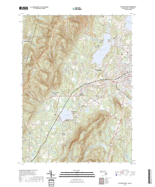 2024 Pittsfield West2024 Print · USGSThe Berkshires meet the New York border in this recent survey of the region western edge during the mid-2020s. Genealogists and historians can locate significant landmarks such as Hancock Shaker Village, Pittsfield Cem, and Richmond Pond.
Showing maps 1-25 of 28
Top cities of Columbia County
- Kinderhook historical maps
- Claverack historical maps
- Hudson historical maps
- Ghent historical maps
- Greenport historical maps
- Chatham historical maps
See more
Frequently asked questions
- What are the different types of historical maps available for Columbia County?
- What is the oldest map of Columbia County?
- Where can I purchase historical maps of Columbia County for my home or office?
- Where can I download high-res historical maps of Columbia County?
- Are there historical topographic maps available for Columbia County?
- Is there historical aerial imagery available for Columbia County?
- Where are historical maps of Columbia County sourced from?