2020s Maps of Buffalo, New York
Explore 4 historic maps of Buffalo from the 2020s. These maps offer a rare glimpse into what life looked like during the 2020s — showing old roads, neighborhoods, homes, and landmarks that have changed or disappeared over time.
Whether you're researching your family's past, planning a metal detecting trip, or studying how Buffalo's landscape evolved across the 2020s, these high-resolution maps are a powerful tool for exploring the history of this region.
- Focus on a specific era: All maps on this page are from the 2020s, giving you a focused view of this time period.
- See what’s changed: Compare century-old streets, trails, and buildings to today's modern landscape using overlays and satellite layers.
- Research with precision: Use these maps for genealogy, historical research, land use analysis, or educational projects.
- View, download, or print: Maps are fully viewable online in high resolution, and can be downloaded or printed for your own records.
Start exploring Buffalo's history through authentic maps from the 2020s. This is your window into the past.
Buffalo, NY maps
(4)- 2023 Map of Buffalo SE, 2023 Print
 2023 Buffalo SE2023 Print · USGSThe suburbs south of Buffalo are shown in detail during the early 2020s, highlighting the area's complex water and transit networks. Genealogists can trace family sites at Saint Matthew's Cem and Mount Hope Cem or explore the settlements of Blasdell and Windom.
 - 2023 Map of Buffalo NW, 2023 Print
 2023 Buffalo NW2023 Print · USGSThe Niagara River frontier and Buffalo's West Side are shown in contemporary detail, capturing a landscape of canals and colleges. Trace the historic Black Rock Canal past Unity Island or locate landmarks like Mount Olivet Cem and Mesmer Airport.
 - 2023 Map of Buffalo SE OE W, 2023 Print
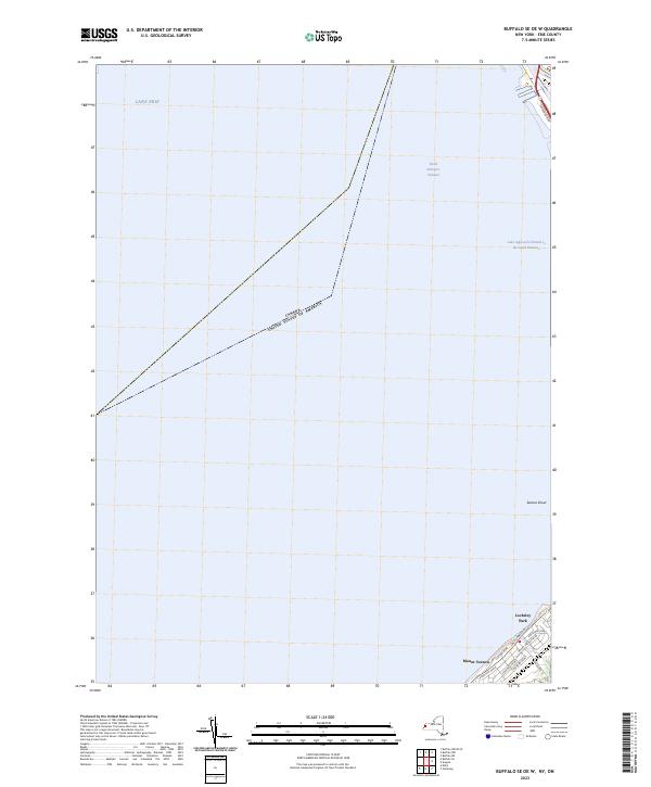 2023 Buffalo SE OE W2023 Print · USGSThe Lake Erie shoreline and its critical shipping channels appear here in the early 2020s as the suburbs of Erie County meet the water. Genealogists and local historians can trace the residential streets of Mount Vernon and Locksley Park or locate the hazardous Seneca Shoal.
 - 2023 Map of Buffalo NE, 2023 Print
 2023 Buffalo NE2023 Print · USGSErie County's northeastern suburbs show a dense landscape of academic institutions and historic cemeteries in this recent survey. Genealogists and local historians can trace family plots at Mount Calvary Cem and Holy Sepulchre Cem or locate the sprawling University At Buffalo.
End of results
Showing maps 1-4 of 4
Top cities near Buffalo
- Amherst historical maps
- Cheektowaga historical maps
- Tonawanda historical maps
- Hamburg historical maps
- Niagara Falls historical maps
- West Seneca historical maps
See more
Top neighborhoods of Buffalo
- Seneca Babcock historical maps
- Theatre District historical maps
- University Heights historical maps
- Allentown historical maps
- Elmwood Village historical maps
- Fruit Belt historical maps
See more
Frequently asked questions
- What are the different types of historical maps available for Buffalo?
- What is the oldest map of Buffalo?
- Where can I purchase historical maps of Buffalo for my home or office?
- Where can I download high-res historical maps of Buffalo?
- Are there historical topographic maps available for Buffalo?
- Is there historical aerial imagery available for Buffalo?
- Where are historical maps of Buffalo sourced from?