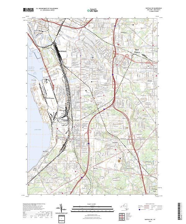
2023 Map of Buffalo SE
USGS Topo · Published 2023About this map
Lake Erie defines the western edge of this landscape, where the Buffalo Outer Harbor meets industrial and residential reaches. The map detail highlights a dense network of suburban growth and historical landmarks, particularly the concentration of significant burial grounds such as Saint Matthew's Cem and Holy Cross Cem. This area, south and east of the Buffalo city center, is characterized by the convergence of major waterways including the Buffalo River, Cazenovia Creek, and Smoke Creek, which historically dictated the layout of the surrounding settlements.
Find a feature on this map
42 named features on this map. Tap any name to fly to it.
Don’t see what you’re looking for? This feature index may not catch every label — zoom into the map to look around manually.
Map Details
Editions of this 2023 Buffalo SE Map
This is the sole edition of this map. No revisions or reprints were ever made.
Other maps of this area

1894 · Buffalo
USGS Topo · 1:62,500

1901 · Buffalo
USGS Topo · 1:62,500

1905 · Depew
USGS Topo · 1:62,500

1905 · Eden
USGS Topo · 1:62,500

1907 · Eden
USGS Topo · 1:62,500

1925 · Springville
USGS Topo · 1:62,500

1944 · Eden
USGS Topo · 1:62,500

1944 · Hamburg
USGS Topo · 1:31,680

1948 · Hamburg
USGS Topo · 1:24,000

1948 · Depew
USGS Topo · 1:62,500