1960s Maps of Franklin County, New York
Explore 28 historic maps of Franklin County from the 1960s. These maps offer a rare glimpse into what life looked like during the 1960s — showing old roads, neighborhoods, homes, and landmarks that have changed or disappeared over time.
Whether you're researching your family's past, planning a metal detecting trip, or studying how Franklin County's landscape evolved across the 1960s, these high-resolution maps are a powerful tool for exploring the history of this region.
- Focus on a specific era: All maps on this page are from the 1960s, giving you a focused view of this time period.
- See what’s changed: Compare century-old streets, trails, and buildings to today's modern landscape using overlays and satellite layers.
- Research with precision: Use these maps for genealogy, historical research, land use analysis, or educational projects.
- View, download, or print: Maps are fully viewable online in high resolution, and can be downloaded or printed for your own records.
Start exploring Franklin County's history through authentic maps from the 1960s. This is your window into the past.
Franklin County, NY maps
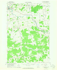
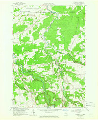
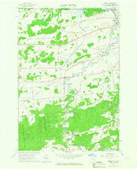
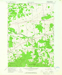
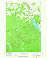
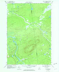
(28)- 1961 Map of Ogdensburg
 1961 Ogdensburg1961 Print · USGSCovers Franklin County, including Le Ray, Brockville, and other nearby areas
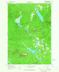
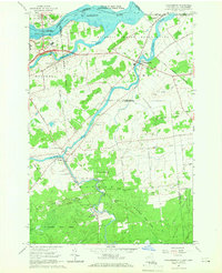
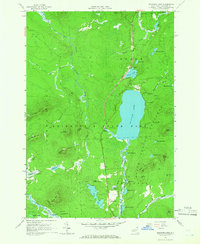
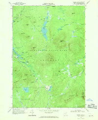
 - 1962 Map of Lake Champlain, 1975 Print
 1962 Lake Champlain1975 Print · USGSCovers Franklin County, including Burlington, South Burlington, and other nearby areas3 unique versions available
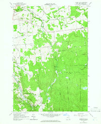
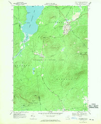
 - 1964 Map of Ft. Covington, 1965 Print
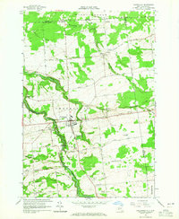
 1964 Ft. Covington1965 Print · USGSCovers Franklin County, including Moira, Bangor, and other nearby areas2 unique versions available
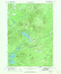
 - 1964 Map of Chateaugay, 1965 Print
 1964 Chateaugay1965 Print · USGSCovers Franklin County, including Ellenburg, Chateaugay, and other nearby areas3 unique versions available
 - 1964 Map of Burke, 1965 Print
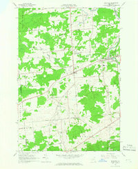
 1964 Burke1965 Print · USGSCovers Franklin County, including Malone, Chateaugay, and other nearby areas
 - 1964 Map of Ellenburg Center, 1966 Print
 1964 Ellenburg Center1966 Print · USGSCovers Franklin County, including Dannemora, Ellenburg, and other nearby areas
 - 1964 Map of Brushton, 1966 Print
 1964 Brushton1966 Print · USGSCovers Franklin County, including Moira, Brasher, and other nearby areas2 unique versions available
 - 1964 Map of Santa Clara, 1966 Print
 1964 Santa Clara1966 Print · USGSCovers Franklin County, including Dickinson, Waverly, and other nearby areas2 unique versions available
 - 1964 Map of Constable, 1966 Print
 1964 Constable1966 Print · USGSCovers Franklin County, including Malone, Bangor, and other nearby areas2 unique versions available
 - 1964 Map of Meno, 1966 Print
 1964 Meno1966 Print · USGSCovers Franklin County, including Waverly, Santa Clara, and other nearby areas2 unique versions available
 - 1964 Map of Lake Titus, 1966 Print
 1964 Lake Titus1966 Print · USGSCovers Franklin County, including Malone, Brandon, and other nearby areas2 unique versions available
 - 1964 Map of Malone, 1966 Print
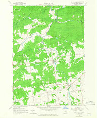
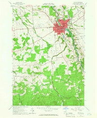 1964 Malone1966 Print · USGSCovers Franklin County, including Malone, Malone, and other nearby areas4 unique versions available
 - 1964 Map of Bombay, 1966 Print
 1964 Bombay1966 Print · USGSCovers Franklin County, including Moira, Fort Covington, and other nearby areas2 unique versions available
 - 1964 Map of Bangor, 1966 Print
 1964 Bangor1966 Print · USGSCovers Franklin County, including Moira, Bangor, and other nearby areas2 unique versions available
 - 1964 Map of Hogansburg, 1966 Print
 1964 Hogansburg1966 Print · USGSCovers Franklin County, including Massena, Moira, and other nearby areas3 unique versions available
 - 1964 Map of Saint Regis Falls, 1966 Print
 1964 Saint Regis Falls1966 Print · USGSCovers Franklin County, including Lawrence, Hopkinton, and other nearby areas2 unique versions available
 - 1964 Map of Lake Ozonia, 1966 Print
 1964 Lake Ozonia1966 Print · USGSCovers Franklin County, including Hopkinton, Waverly, and other nearby areas2 unique versions available
 - 1964 Map of North Lawrence, 1966 Print
 1964 North Lawrence1966 Print · USGSCovers Franklin County, including Stockholm, Moira, and other nearby areas2 unique versions available
 - 1964 Map of Brainardsville, 1966 Print
 1964 Brainardsville1966 Print · USGSCovers Franklin County, including Ellenburg, Chateaugay, and other nearby areas2 unique versions available
 - 1964 Map of Meacham Lake, 1966 Print
 1964 Meacham Lake1966 Print · USGSCovers Franklin County, including Brighton, Santa Clara, and other nearby areas3 unique versions available
 - 1964 Map of Chasm Falls, 1966 Print
 1964 Chasm Falls1966 Print · USGSCovers Franklin County, including Malone, Burke, and other nearby areas2 unique versions available
 - 1968 Map of Loon Lake, 1970 Print
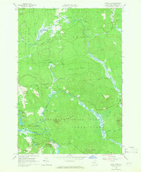
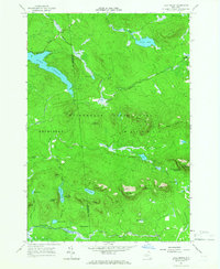
 1968 Loon Lake1970 Print · USGSCovers Franklin County, including Bellmont, Franklin, and other nearby areas2 unique versions available
 - 1968 Map of Mount Matumbla, 1970 Print
 1968 Mount Matumbla1970 Print · USGSCovers Franklin County, including Tupper Lake, Hopkinton, and other nearby areas2 unique versions available
 - 1968 Map of Ragged Lake, 1970 Print
 1968 Ragged Lake1970 Print · USGSCovers Franklin County, including Bellmont, Franklin, and other nearby areas2 unique versions available
 - 1968 Map of Lyon Mountain, 1970 Print
 1968 Lyon Mountain1970 Print · USGSCovers Franklin County, including Dannemora, Saranac, and other nearby areas
Showing maps 1-25 of 28
Top cities of Franklin County
- Malone historical maps
- Harrietstown historical maps
- Tupper Lake historical maps
- Moira historical maps
- Bangor historical maps
- Westville historical maps
See more
Frequently asked questions
- What are the different types of historical maps available for Franklin County?
- What is the oldest map of Franklin County?
- Where can I purchase historical maps of Franklin County for my home or office?
- Where can I download high-res historical maps of Franklin County?
- Are there historical topographic maps available for Franklin County?
- Is there historical aerial imagery available for Franklin County?
- Where are historical maps of Franklin County sourced from?