Old Maps of Franklin Falls, Franklin
Explore 13 old maps of Franklin Falls, spanning from 1896 to today. These high-resolution historic maps reveal how streets, neighborhoods, landmarks, and natural features evolved over time — perfect for genealogy, metal detecting, research, and local history exploration.
What you can do with these maps:
- See how Franklin Falls changed over time: Compare historical maps to modern-day views to trace roads, homesites, rail lines & more.
- View detailed metadata: Each map includes creators, publishers, year, scale, and archive source.
- Overlay maps with satellite & LiDAR: Visualize the past alongside modern tools to explore terrain & human change.
- Trusted historical sources: Maps sourced from the USGS, Library of Congress, and other archives.
- Access maps your way: View online, download high-res files, or order prints for personal or research use.
Start exploring old maps of Franklin Falls to uncover forgotten places, hidden landmarks, and the deep history beneath your feet.
Franklin Falls, Franklin maps
(13)- 1896 Map of Lake Placid
 1896 Lake Placid1896 Print · USGSThe High Peaks wilderness of the 1890s reveals a landscape of early iron industry and burgeoning mountain tourism. Genealogists and hikers can trace the original paths around John Browns Grave, the industry at West Kilns, and the early buildings at Undercliff.
 - 1898 Map of Lake Placid
 1898 Lake Placid1898 Print · USGSThe Adirondack High Peaks are captured here in the late nineteenth century as the region evolved into a premier destination for hikers and historians. Trace the early settlement of Lake Placid, the industrial sites at West Kilns, and the landmark John Browns Grave.12 unique versions available
 - 1950 Map of Lake Champlain
 1950 Lake Champlain1950 Print · USGSThe Lake Champlain valley and its surrounding peaks are captured in detail during the late 1940s, showing the vital rail and road connections between New York and Vermont. Researchers can trace the routes of the Central Vermont Railway or locate old industrial centers like Mineville and Witherbee.2 unique versions available
 - 1953 Map of Lake Placid, 1957 Print
 1953 Lake Placid1957 Print · USGSThe High Peaks region during the mid-fifties shows a landscape defined by mountain hamlets and early Adirondack tourism. Genealogists and historians can trace family sites at Quaker Cem, the John Browns Grave historic site, and early industrial landmarks like West Kilns.4 unique versions available
 - 1958 Map of Lake Champlain
 1958 Lake Champlain1958 Print · USGSThe Champlain Valley and surrounding high peaks are captured here in the late fifties, showcasing the cross-border region from the Adirondacks to the Green Mountains. Researchers can trace historic rail routes like the Rutland Railway or locate old valley settlements such as Keeseville and Vergennes.2 unique versions available
 - 1962 Map of Lake Champlain, 1975 Print
 1962 Lake Champlain1975 Print · USGSLake Champlain and the high peaks of the Adirondacks and Green Mountains are captured here during the mid-twentieth century. Researchers can trace the industrial legacy of the Lyon Mountain Mine and the rail corridors of the Central Vermont RR and Delaware & Hudson RR.3 unique versions available
 - 1978 Map of Wilmington, 1979 Print
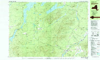 1978 Wilmington1979 Print · USGSThe Adirondacks near Wilmington in the 1970s reveal a landscape defined by high peaks and mountain industries. Genealogists and hikers can trace the Memorial Highway up Whiteface Mountain or locate old sites like Middle Kilns and Haselton Cem.
 - 1986 Map of Lake Champlain South
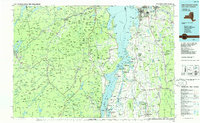 1986 Lake Champlain South1986 Print · USGSIn the mid-1980s, the shores of Lake Champlain linked the Adirondack high peaks with the Vermont valley. Genealogists and researchers can trace the rail lines of the Delaware & Hudson RR or locate historic settlements like Mineville and Au Sable Forks.2 unique versions available
 - 2010 Map of Franklin Falls, 2010 Print
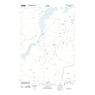 2010 Franklin Falls2010 Print · USGSClinton County and the Adirondack wilderness come into focus during the early twenty-first century as river and forest define the local economy. Researchers can trace the heritage of Franklin Falls and West Kilns or locate family plots at Union Cemetery and Goodspeed Cemetery.
 - 2013 Map of Franklin Falls, 2013 Print
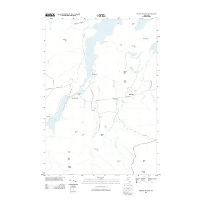 2013 Franklin Falls2013 Print · USGSThe Adirondack wilderness in the early twenty-first century is captured here, centering on the waters of Union Falls Pond. Researchers can trace local lineage at Union Cem or explore the mountain terrain near West Kilns and Esther Mtn.
 - 2016 Map of Franklin Falls, 2016 Print
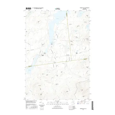 2016 Franklin Falls2016 Print · USGSThe Adirondack high country near the meeting of three counties is shown here in the mid-2010s. Researchers can trace land use and local genealogy through the Union Cem, the settlement at Franklin Falls, and recreational routes like Cooper Kiln Trail.
 - 2019 Map of Franklin Falls, 2019 Print
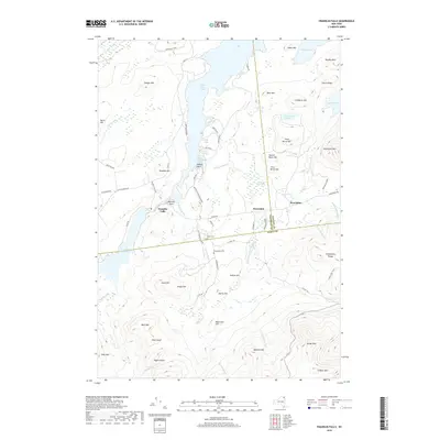 2019 Franklin Falls2019 Print · USGSThe Adirondack wilderness of Clinton and Essex counties is captured here in the early twenty-first century, centered on the waters of Union Falls Pond. Researchers can trace old family sites at Union Cem or follow the Cooper Kiln Trail through the high peaks.
 - 2023 Map of Franklin Falls, 2023 Print
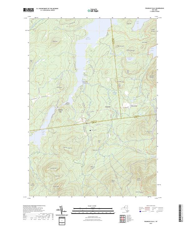 2023 Franklin Falls2023 Print · USGSModern Adirondack parklands meet historic hamlets in this 2023 survey of the Franklin and Clinton county lines. Trace family sites at Union Cem and Goodspeed Cem or explore the mountain terrain surrounding Franklin Falls and West Kilns.
End of results
Showing maps 1-13 of 13
Top cities near Franklin Falls
- North Elba historical maps
- Harrietstown historical maps
- Saranac Lake historical maps
- Saranac historical maps
- Jay historical maps
- Lake Placid historical maps
See more
Frequently asked questions
- What are the different types of historical maps available for Franklin Falls?
- What is the oldest map of Franklin Falls?
- Where can I purchase historical maps of Franklin Falls for my home or office?
- Where can I download high-res historical maps of Franklin Falls?
- Are there historical topographic maps available for Franklin Falls?
- Is there historical aerial imagery available for Franklin Falls?
- Where are historical maps of Franklin Falls sourced from?