Old Maps of Santa Clara, New York for Genealogy
Trace your family roots with 59 historic maps of Santa Clara. These high-res maps reveal old neighborhoods, homesites, landmarks, and streets — helping you uncover where your ancestors lived and how the area evolved over time.
- Explore historic neighborhoods: Identify where your relatives may have lived in the 1800s or 1900s.
- Compare maps over time: Trace the changes in streets, buildings, and landmarks for multi-generational research.
- Perfect for genealogy & ancestry research: Used by family historians and researchers to map out lineage and migration.
These maps are an incredible resource for exploring your personal connection to Santa Clara's past.
Santa Clara, NY maps
(59)- 1905 Map of Saint Regis
 1905 Saint Regis1905 Print · USGSFranklin County's wilderness is captured at the height of the early resort and logging era, showing the rail lines that opened these woods to the world. Trace the paths of the Adirondack Division or locate historic outposts like Brandon, Paul Smiths, and Wawbeek.9 unique versions available
 - 1921 Map of Santa Clara, 1960 Print
 1921 Santa Clara1960 Print · USGSFranklin County's deep woods and timber-driven rail lines are captured here in the early 1920s. Genealogists and historians can locate rural schoolhouses like School No 7 and vanished logging stops along the Brooklyn Cooperage RR or near Santa Clara.2 unique versions available
 - 1923 Map of Santa Clara
 1923 Santa Clara1923 Print · USGSFranklin County's North Country is captured here in the early twenties, showing a landscape of timber-driven rail lines and mountain hamlets. Researchers can trace the New York Central Railroad through Santa Clara or locate the old McCollom School and Everton settlement.5 unique versions available
 - 1948 Map of Ogdensburg, 1973 Print
 1948 Ogdensburg1973 Print · USGSThe international border along the St Lawrence River comes to life in the late 1940s, showing the vital rail and water connections between New York and Ontario. Researchers can trace the grounds of St Lawrence University, the massive Camp Drum military reservation, and the historic Rideau River and Canal.2 unique versions available
 - 1951 Map of Ogdensburg
 1951 Ogdensburg1951 Print · USGSThe St. Lawrence frontier and the North Country are captured here during the post-war era, from the river ports to the high Adirondacks. Genealogists and historians can trace the rail-and-river economy through Ogdensburg, the Rutland rail lines, and Potsdam.
 - 1953 Map of Ogdensburg
 1953 Ogdensburg1953 Print · USGSThe North Country and St. Lawrence Valley are shown here in the early fifties, just as the region’s rail-and-river economy remained in full swing. Genealogists and historians can trace family-named corners and rural hubs along the Rutland railroad or locate heritage sites near Ogdensburg, Potsdam, and the St Regis Indian Reservation.
 - 1955 Map of Saint Regis, 1957 Print
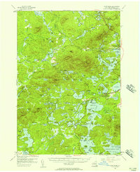 1955 Saint Regis1957 Print · USGSThe Adirondack lake country comes alive in the mid-1950s, showing the intersection of remote wilderness and early tourism. Researchers can trace the sprawling grounds of Paul Smiths College, the route of the New York Central Railroad, and landmarks like Keese Mill.5 unique versions available
 - 1961 Map of Ogdensburg
 1961 Ogdensburg1961 Print · USGSThe St. Lawrence valley and the Adirondack high country meet in this early sixties survey during a peak era for rail and river commerce. Genealogists and historians can trace the paths of the New York Central railroad through remote settlements like Wanakena, Conifer, and Piercefield.
 - 1964 Map of Santa Clara, 1966 Print
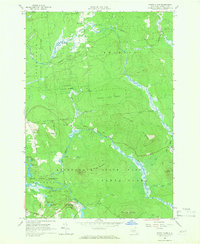 1964 Santa Clara1966 Print · USGSFranklin County in the mid-sixties is a dense mosaic of state-protected forests and mountain ridges. For the local historian, this survey allows for the precise tracking of the St Regis River through Santa Clara and the roads leading to Reynoldston.2 unique versions available
 - 1964 Map of Meno, 1966 Print
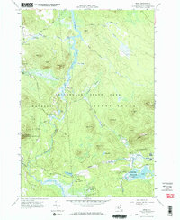 1964 Meno1966 Print · USGSThe northern Adirondack wilderness around Franklin County is captured here in the mid-1960s, showing a landscape defined by the St Regis River. Researchers can trace the layout of Meno, the shores of Madawaska Pond, and forest tracks near Azure Mountain.2 unique versions available
 - 1964 Map of Lake Titus, 1966 Print
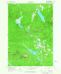 1964 Lake Titus1966 Print · USGSThe northern Adirondacks are captured here in the mid-1960s, showing a landscape defined by state forest preserves and isolated mountain hamlets. Genealogists and hikers can trace old roads to Duane Center, St Marys Ch, and the Ladd Cem near the shores of Lake Duane.2 unique versions available
 - 1964 Map of Meacham Lake, 1966 Print
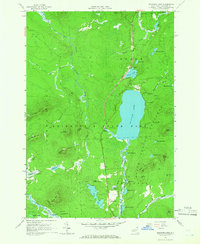 1964 Meacham Lake1966 Print · USGSThe northern Adirondacks are captured here in the mid-1960s, centered on the recreational and timber lands of Adirondack State Park. Locate the settlement of McColloms or trace the East Branch St Regis River as it winds past Sugarloaf Mountain and Meacham Lake.3 unique versions available
 - 1979 Map of Saint Regis Mtn
 1979 Saint Regis Mtn1979 Print · USGSFranklin County's high peaks and interconnected lakes are captured here in the late seventies as the region balanced wilderness and settlement. Researchers can trace historic locations like Keese Mill, the lakeside community of Paul Smiths, and the rugged trails leading to Saint Regis Mtn.2 unique versions available
 - 1979 Map of Upper Saranac Lake
 1979 Upper Saranac Lake1979 Print · USGSThe northern Adirondacks in the late seventies show a landscape of dense timber and interconnected waterways. Researchers can locate family landmarks at Saranac Inn, trace the Old Railroad Grade, and find the Adirondack Fish Hatchery.
 - 1985 Map of Massena
 1985 Massena1985 Print · USGSNorthern New York at the mid-eighties shows a landscape of river-driven industry and high mountain wilderness along the Canadian border. Researchers can trace the legacy of iron working and milling in Brasher Iron Works or follow the Raquette River through Massena and Potsdam.
 - 1985 Map of Tupper Lake, 1986 Print
 1985 Tupper Lake1986 Print · USGSThe Adirondacks in the mid-1980s reveal a network of mountain villages and timber-connected outposts. Researchers can trace the Adirondack RR through Saranac Lake or locate old industrial hamlets like Newton Falls and Gleasons Mill.2 unique versions available
 - 1994 Map of Massena
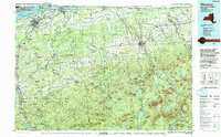 1994 Massena1994 Print · USGSThe St. Lawrence River valley and northern Adirondacks meet in the mid-1990s, revealing a landscape of international shipping, rail corridors, and dense state forests. Genealogists and historians can trace the foundations of Massena, the St Regis Indian Reservation, and small hamlets like Brasher Iron Works.
 - 1999 Map of Upper Saranac Lake, 2001 Print
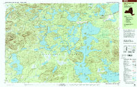 1999 Upper Saranac Lake2001 Print · USGSThe northern Adirondacks at the turn of the millennium reveal a landscape of interconnected glacial lakes and seasonal retreats. Map collectors and hikers can trace the Old Railroad Grade through Derrick or locate old camps at Hoel Pond and Lake Clear.
 - 1999 Map of Saint Regis Mtn., 2001 Print
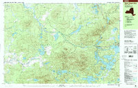 1999 Saint Regis Mtn.2001 Print · USGSFranklin County at the close of the twentieth century remains a landscape of deep woods and glacial lakes within the Adirondack Park. Researchers can trace the layout of Paul Smiths and Keese Mill, or locate landmarks like the Lookout Tower on Saint Regis Mtn and the waterfront near Spitfire Lake.
 - 2010 Map of Upper Saranac Lake, 2010 Print
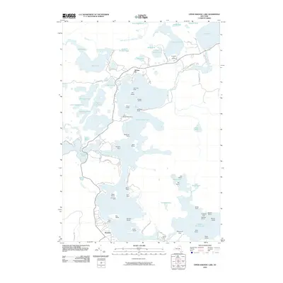 2010 Upper Saranac Lake2010 Print · USGSUpper Saranac Lake and its surrounding ponds are shown here in the early twenty-first century, revealing a classic Adirondack wilderness and resort landscape. Researchers can locate the historic Saranac Inn, the Adirondack Fish Hatchery, and the portage at Bartletts Carry.
 - 2010 Map of Saint Regis Mountain, 2010 Print
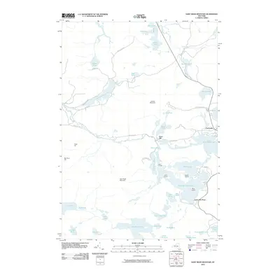 2010 Saint Regis Mountain2010 Print · USGSThe Adirondack lake country near Paul Smiths is captured here in the early twenty-first century. Researchers can trace the layout of historic retreats like Camp Topridge and the wilderness trails surrounding Saint Regis Mountain.
 - 2010 Map of Derrick, 2010 Print
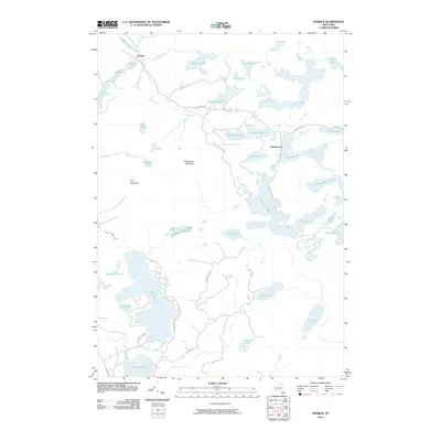 2010 Derrick2010 Print · USGSThe Adirondack wilderness around Derrick and Floodwood is shown here in the early twenty-first century as a labyrinth of glacial lakes and mountain peaks. Researchers can trace the shoreline of Rollins Pond or locate landmarks like Floodwood Mountain and Iron Mountain.
 - 2010 Map of Meacham Lake, 2010 Print
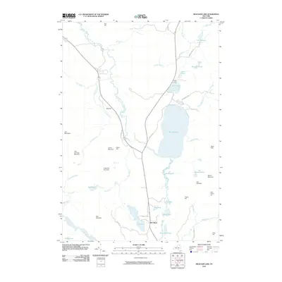 2010 Meacham Lake2010 Print · USGSAdirondack Park at the start of the decade preserves a vast network of northern New York waterways and mountain peaks. You can trace the shorelines of Meacham Lake, locate the settlement at McColloms, and identify landmarks like Sugarloaf Mountain and Camp Bedford.
 - 2010 Map of Meno, 2010 Print
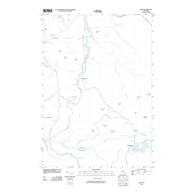 2010 Meno2010 Print · USGSFranklin County's deep Adirondack woods and river valleys appear in high detail during the early 2000s. Trace the remote settlements of Madawaska and Gile or locate landmarks like Azure Mountain and the headwaters of the Saint Regis River.
 - 2010 Map of Santa Clara, 2010 Print
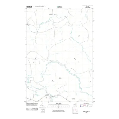 2010 Santa Clara2010 Print · USGSFranklin County's highland terrain and river valleys are captured here in the early twenty-first century, showing a landscape defined by water and wood. Genealogists and hikers can trace the geography around Santa Clara and Reynoldston or locate landmarks like Mutton Ridge and The Pinnacle.
Showing maps 1-25 of 59
Top cities near Santa Clara
- Malone historical maps
- Harrietstown historical maps
- Tupper Lake historical maps
- Saranac Lake historical maps
- Tupper Lake historical maps
- Bellmont historical maps
See more
Top neighborhoods of Santa Clara
- Trombley Landing historical maps
- Bay Pond historical maps
- Spring Cove historical maps
- Madawaska historical maps
- Meno historical maps
- Saranac Inn historical maps
See more
Frequently asked questions
- What are the different types of historical maps available for Santa Clara?
- What is the oldest map of Santa Clara?
- Where can I purchase historical maps of Santa Clara for my home or office?
- Where can I download high-res historical maps of Santa Clara?
- Are there historical topographic maps available for Santa Clara?
- Is there historical aerial imagery available for Santa Clara?
- Where are historical maps of Santa Clara sourced from?