2010s Maps of Lake Pleasant, New York
Explore 40 historic maps of Lake Pleasant from the 2010s. These maps offer a rare glimpse into what life looked like during the 2010s — showing old roads, neighborhoods, homes, and landmarks that have changed or disappeared over time.
Whether you're researching your family's past, planning a metal detecting trip, or studying how Lake Pleasant's landscape evolved across the 2010s, these high-resolution maps are a powerful tool for exploring the history of this region.
- Focus on a specific era: All maps on this page are from the 2010s, giving you a focused view of this time period.
- See what’s changed: Compare century-old streets, trails, and buildings to today's modern landscape using overlays and satellite layers.
- Research with precision: Use these maps for genealogy, historical research, land use analysis, or educational projects.
- View, download, or print: Maps are fully viewable online in high resolution, and can be downloaded or printed for your own records.
Start exploring Lake Pleasant's history through authentic maps from the 2010s. This is your window into the past.
Lake Pleasant, NY maps
(40)- 2010 Map of Wakely Mountain, 2010 Print
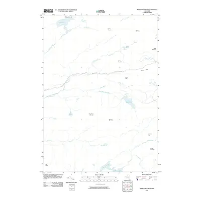 2010 Wakely Mountain2010 Print · USGSHamilton County's backcountry is captured here during the 2010s, showing a landscape defined by high Adirondack peaks and significant trail systems. Trace the winding path of the Northville Lake Placid Trl or locate the historic Kamp Kill-Kare near Lake Kora.
 - 2010 Map of Blue Mountain Lake, 2010 Print
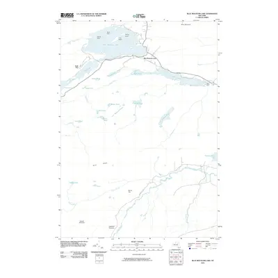 2010 Blue Mountain Lake2010 Print · USGSBlue Mountain Lake and the surrounding Adirondack backcountry are captured here in the early twenty-first century. Researchers can trace historic access routes like Old Rte 28 and locate landmarks from Eagle Nest to the Lake Durant Camp.
 - 2010 Map of Indian Lake, 2010 Print
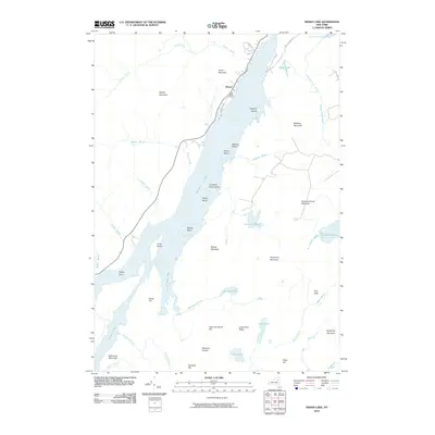 2010 Indian Lake2010 Print · USGSIndian Lake and the settlement of Sabael are captured in this recent survey of the Central Adirondacks. Researchers can trace the rugged topography of peaks like Moose Mountain and Kunjamuk Mountain alongside backcountry water bodies including John Mack Pond and Rock Pond.
 - 2010 Map of Page Mountain, 2010 Print
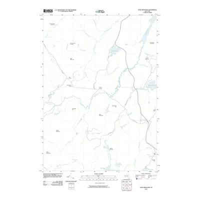 2010 Page Mountain2010 Print · USGSHamilton County's interior highlands are shown here in the early twenty-first century, before the shift to digital-only mapping. You can trace the historic clearings and remote outposts like Sled Harbor, Perkins Clearing, and Camp Number Nineteen.
 - 2010 Map of Sargent Ponds, 2010 Print
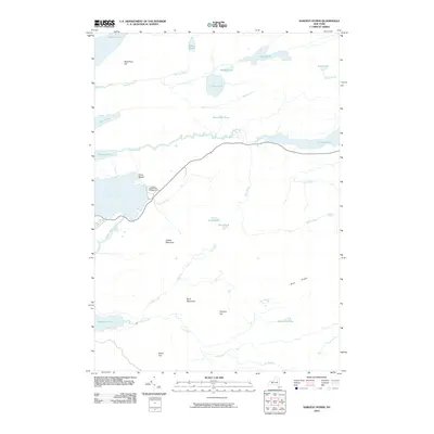 2010 Sargent Ponds2010 Print · USGSRaquette Lake and its surrounding mountain peaks are documented here in the early twenty-first century. Researchers can trace the shoreline developments of Silver Beach or locate recreational landmarks like Golden Beach State Campground.
 - 2010 Map of Lake Pleasant, 2010 Print
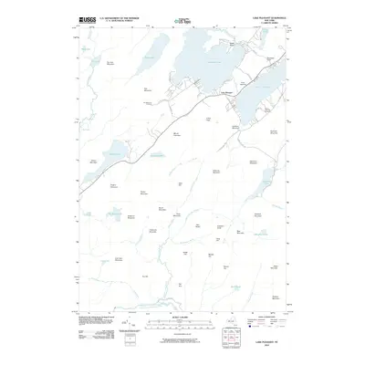 2010 Lake Pleasant2010 Print · USGSThe Lake Pleasant area of Hamilton County is shown here in the early twenty-first century, highlighting its dual identity as a recreation destination and a mountain community. Genealogists and local historians can locate Fish Mountain Cemetery, Sacandaga Camp, and the waters of Oxbow Lake.
 - 2010 Map of Kunjamuk River, 2010 Print
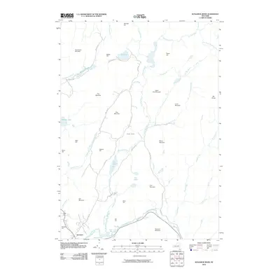 2010 Kunjamuk River2010 Print · USGSSpeculator and the surrounding Adirondack wilderness are documented here in the early twenty-first century. Researchers can trace the path of the Kunjamuk River through Elm Lake or locate specific landmarks like Christine Falls and Oak Mountain.
 - 2010 Map of Snowy Mountain, 2010 Print
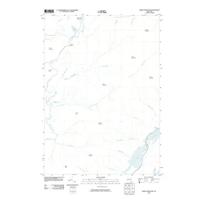 2010 Snowy Mountain2010 Print · USGSThe Adirondack wilderness near Indian Lake is shown here in the early twenty-first century, centered on the heights of Snowy Mountain. Researchers can trace the path of the Northville Lake Placid Trl past Wakely Dam and Carry Pond.
 - 2010 Map of Spruce Lake, 2010 Print
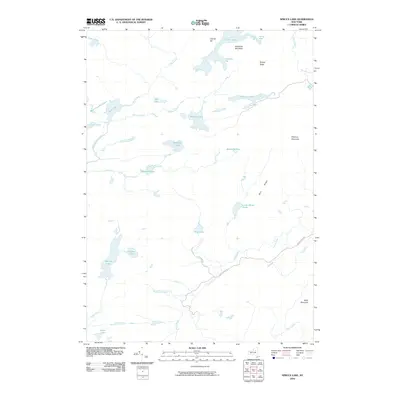 2010 Spruce Lake2010 Print · USGSHamilton County remains a landscape of high-elevation wilderness and primitive forest roads as shown in this 2010 topographic survey. Trace the remote headwaters of the Jessup River and find isolated landmarks like Sampson Bog and Pillsbury Mountain.
 - 2010 Map of Wells, 2010 Print
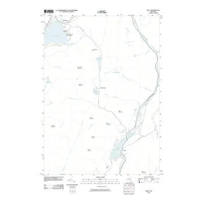 2010 Wells2010 Print · USGSThe Adirondack foothills around Lake Pleasant and the Sacandaga River come into focus in this recent study. Genealogists and local historians can trace legacy routes like Old State Rd and locate landmarks such as Camp of the Woods and Bostrups Landing Seaplane Base.
 - 2013 Map of Kunjamuk River, 2013 Print
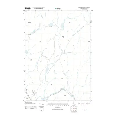 2013 Kunjamuk River2013 Print · USGSThe Adirondack wilderness in the early twenty-first century is documented here through its dense network of waterways and named peaks. You can trace the path of the Kunjamuk River as it passes Long Level and Elm Lake toward the cascades at Christine Falls.
 - 2013 Map of Snowy Mountain, 2013 Print
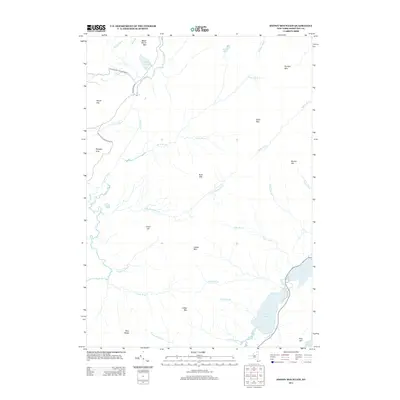 2013 Snowy Mountain2013 Print · USGSAdirondack wilderness in the early twenty-first century is defined by its networks of remote trails and high-peak summits. Hikers and historians can trace the Northville-Lake Placid Trl past Carry Pond or find the heights of Snowy Mtn and Blue Ridge.
 - 2013 Map of Page Mountain, 2013 Print
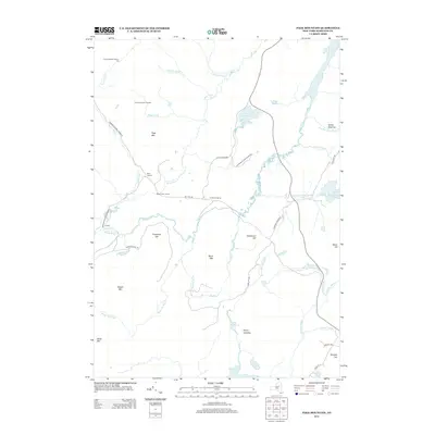 2013 Page Mountain2013 Print · USGSHamilton County's backcountry comes into focus in this modern survey of the Adirondack wilderness. Researchers can trace historic forest camps and remote clearings like Indian Clearing, Perkins Clearing, and Sled Harbor along the Miami River.
 - 2013 Map of Wakely Mountain, 2013 Print
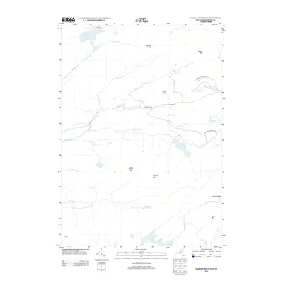 2013 Wakely Mountain2013 Print · USGSHamilton County's high peaks and remote waters are documented here in the early twenty-first century. Researchers can locate the grounds of Kamp Kill Kare and trace the paths of the S Br Moose River beneath Wakely Mtn.
 - 2013 Map of Spruce Lake, 2013 Print
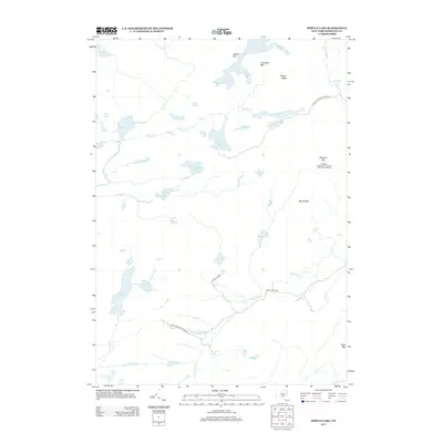 2013 Spruce Lake2013 Print · USGSHamilton County's interior wilderness is captured here in the early twenty-first century within the Adirondack Park Preserve. Researchers can trace the headwaters of the Indian River and locate remote landmarks like the Pillsbury Mountain Forest Fire Observation Station and Spruce Lake.
 - 2013 Map of Sargent Ponds, 2013 Print
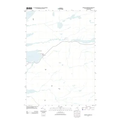 2013 Sargent Ponds2013 Print · USGSThe Central Adirondacks are documented in detail here during the early twenty-first century, showing the waterways and peaks of Hamilton County. Researchers can trace the shoreline of Raquette Lake, find the Golden Beach State Campground, and locate summits like Estelle Mtn.
 - 2013 Map of Blue Mountain Lake, 2013 Print
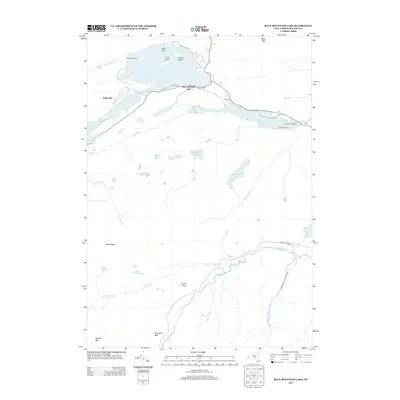 2013 Blue Mountain Lake2013 Print · USGSThe Adirondack wilderness in the early twenty-first century is defined here by its interconnected lakes and mountain peaks. Researchers can trace land features from Blue Mountain Lake to Lake Durant Camp and the protected grounds of the Adirondack Park Preserve.
 - 2013 Map of Indian Lake, 2013 Print
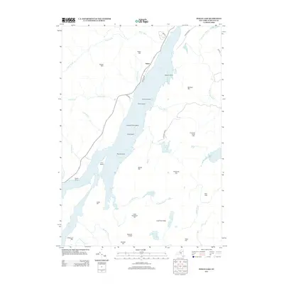 2013 Indian Lake2013 Print · USGSThe Adirondack lake country comes into focus in this modern survey of central Hamilton County. Local researchers can trace the shoreline of Lewey Lake from Sabael to Poplar Point or locate landmarks like Crotched Pond and Moose Mtn.
 - 2013 Map of Lake Pleasant, 2013 Print
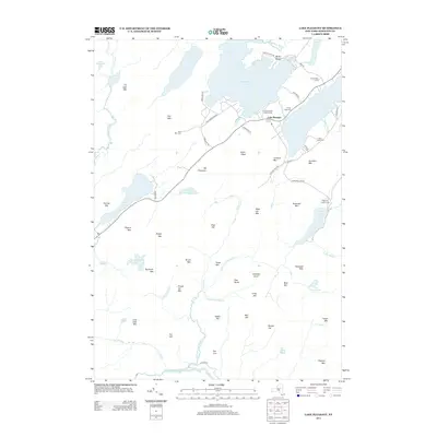 2013 Lake Pleasant2013 Print · USGSThe Adirondack landscape of the early twenty-first century centers on Sacandaga Lake and Lake Pleasant during a period of established recreation. Genealogists and hikers can trace sites like Fish Mtn Cem, Moffit Beach, and Mt Francisco.
 - 2013 Map of Wells, 2013 Print
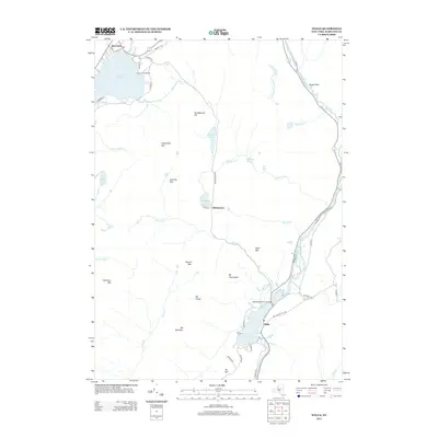 2013 Wells2013 Print · USGSHamilton County settlements and Adirondack peaks emerge in this detailed 2013 survey. Local researchers can trace the roads and waterways connecting Speculator and Wells, or locate landmarks like the Sacandaga River Bridge and Camp of the Woods.
 - 2016 Map of Blue Mountain Lake, 2016 Print
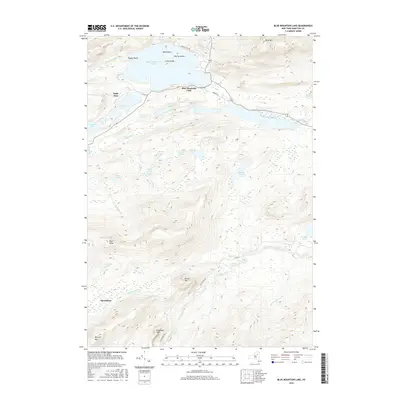 2016 Blue Mountain Lake2016 Print · USGSThe Adirondack highlands around Blue Mountain Lake are captured here in the mid-2010s, showing a landscape defined by deep-woods settlements and expansive water systems. Researchers can trace local landmarks from Eagle Nest to Speculator, alongside geographic features like Osprey Island and Blue Mtn.
 - 2016 Map of Kunjamuk River, 2016 Print
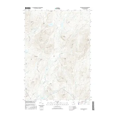 2016 Kunjamuk River2016 Print · USGSThe village of Speculator and the winding Kunjamuk River valley are documented here in the early twenty-first century. Genealogists and outdoor historians can trace land features like The Rifts, Austin Falls, and family-named landmarks such as Belden Hill and Sturges Hill.
 - 2016 Map of Wells, 2016 Print
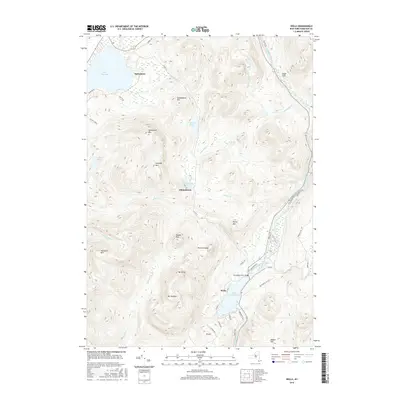 2016 Wells2016 Print · USGSHamilton County comes into focus in the early twenty-first century, showing the mountain communities between Speculator and Wells. Genealogists and hikers can trace the terrain around Lake Pleasant and the peaks of Hamilton Mtn or Speculator Mtn.
 - 2016 Map of Spruce Lake, 2016 Print
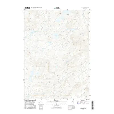 2016 Spruce Lake2016 Print · USGSHamilton County's interior wilderness is captured here in the mid-2010s, showing a landscape shaped by water and high ridges. Trace remote drainage points and hiking routes near Pillsbury Mtn, Spruce Lake, and the winding Jessup River.
 - 2016 Map of Sargent Ponds, 2016 Print
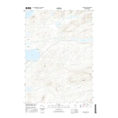 2016 Sargent Ponds2016 Print · USGSThe Adirondack interior near Indian Lake is captured here in the mid-2010s, showcasing a landscape of high peaks and interconnected waterways. Trace the historic route of the Marion River or locate remote camps near Silver Beach and Sagamore Lake.
Showing maps 1-25 of 40
Top cities near Lake Pleasant
- Johnsburg historical maps
- Indian Lake historical maps
- Long Lake historical maps
- Minerva historical maps
- Wells historical maps
- Speculator historical maps
See more
Top neighborhoods of Lake Pleasant
Frequently asked questions
- What are the different types of historical maps available for Lake Pleasant?
- What is the oldest map of Lake Pleasant?
- Where can I purchase historical maps of Lake Pleasant for my home or office?
- Where can I download high-res historical maps of Lake Pleasant?
- Are there historical topographic maps available for Lake Pleasant?
- Is there historical aerial imagery available for Lake Pleasant?
- Where are historical maps of Lake Pleasant sourced from?