Old Maps of Fink Basin, Danube for Academic Research
Study the evolution of Fink Basin with 18 high-resolution historic maps. Whether you're teaching, researching, or modeling changes in land use, these maps provide essential visual documentation of urban, environmental, and geographic change.
- Analyze long-term change: Track patterns in development, transportation, and natural features.
- Ideal for environmental or urban studies: Support academic projects with primary historical map data.
- Use in the classroom or lab: Educators and researchers rely on these maps to bring historical context to life.
These maps are a powerful tool for teaching, research, and visualizing how Fink Basin has changed over the decades.
Fink Basin, Danube maps
(18)- 1900 Map of Little Falls
 1900 Little Falls1900 Print · USGSThe Mohawk River valley serves as a bustling industrial artery at the turn of the century, dominated by canal and rail traffic. Genealogists can trace the early footprints of Little Falls, find the County House, or locate vanished stops like Ingham Mills Sta.
 - 1903 Map of Little Falls
 1903 Little Falls1903 Print · USGSThe Mohawk Valley was a bustling corridor of industry and transit at the turn of the century, where the river met a network of canals and railroads. Genealogists and historians can trace the foundations of Little Falls, find the historic site of Fort Herkimer, and locate rural landmarks like the County House.6 unique versions available
 - 1939 Map of Little Falls
 1939 Little Falls1939 Print · USGSThe Mohawk Valley was a bustling corridor of rail and water transport just before the mid-century, centered on the narrow gorge at Little Falls. Genealogists and historians can trace the paths of the Adirondack Division railroad and historic sites like Fort Herkimer and Indian Castle.
 - 1943 Map of Little Falls, 1960 Print
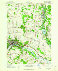 1943 Little Falls1960 Print · USGSThe Mohawk Valley at the height of the Second World War shows a landscape defined by the Barge Canal and industrial hubs like Little Falls. Trace family roots at the Fink-Van Valkenburg Cem or locate rural landmarks like Yellow Ch.2 unique versions available
 - 1946 Map of Little Falls
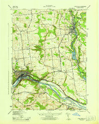 1946 Little Falls1946 Print · USGSHerkimer County at mid-century reveals a landscape defined by the Mohawk River and the busy Barge Canal. Researchers can trace the heritage of local hamlets like Ingham Mills and Dolgeville or locate ancestral sites at Yellow Ch and St Marys Cem.
 - 1949 Map of Little Falls
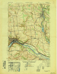 1949 Little Falls1949 Print · USGSThe Mohawk River valley during the late 1940s reveals a bustling landscape of rail and water transport. Trace family roots at St Marys Cem or locate old rural landmarks like Ingham Mills, Indian Castle Ch, and Five Mile Dam.
 - 1949 Map of Little Falls
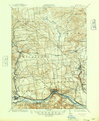 1949 Little Falls1949 Print · USGSHerkimer County's industrial heartland is captured here at mid-century, showcasing the vital Mohawk Valley transit corridor. Researchers can trace the path of the Erie Canal, the Barge Canal, and early rail stops like Ingham Mills Sta. and Dolgeville.
 - 1950 Map of Utica, 1951 Print
 1950 Utica1951 Print · USGSCentral New York in the post-war era showcases the industrial Mohawk Valley and the pristine Adirondack interior. Researchers can trace transportation networks like the New York Central Railroad and find early Cold War sites such as Griffiss Air Force Base.
 - 1957 Map of Utica
 1957 Utica1957 Print · USGSCentral New York and the Adirondack foothills are captured here in the mid-fifties, showing a landscape defined by the Mohawk River corridor and the growing highway system. Genealogists and researchers can trace the rail lines of the New York Central and locate communities from Lowville to Gloversville.
 - 1962 Map of Utica
 1962 Utica1962 Print · USGSCentral New York and the Adirondack wilderness are captured here during the mid-century era of highway and industrial expansion. Genealogists and historians can trace the development of the New York State Thruway and local rail lines connecting Utica, Rome, and Gloversville.3 unique versions available
 - 1964 Map of Utica
 1964 Utica1964 Print · USGSCentral New York and the high wilderness of the Adirondacks are captured here during the post-war era of infrastructure expansion. Researchers can trace the development of the New York State Thruway alongside historic corridors like the Oneida Lake (Barge Canal Route) and the N. Y. Central railroad.
 - 1967 Map of Utica
 1967 Utica1967 Print · USGSCentral New York's industrial Mohawk Valley meets the Adirondack wilderness in the 1960s, showing the region's transition from manufacturing hubs to state-managed parklands. Trace historic settlements and sites like Griffiss Air Force Base, Colgate University, and the Lyons Falls Paper Mill.
 - 1985 Map of Gloversville, 1986 Print
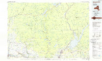 1985 Gloversville1986 Print · USGSThe southern Adirondacks meet the Mohawk Valley industrial corridor during the mid-eighties, showcasing a landscape of high-country lakes and riverside manufacturing towns. Trace the historical alignment of the Erie Canal and Conrail lines or locate landmarks like the Herkimer Home State Historic Site.2 unique versions available
 - 2010 Map of Little Falls, 2010 Print
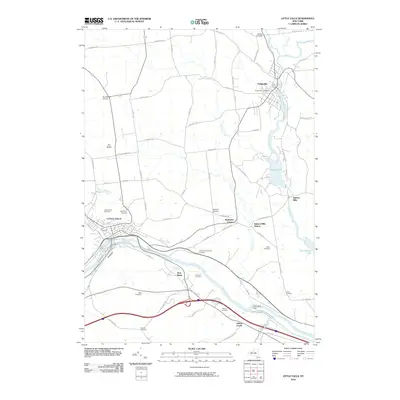 2010 Little Falls2010 Print · USGSHerkimer County's river-and-rail corridor is shown in detail during the early twenty-first century, centered on the historic passage through Little Falls. Researchers can trace family sites from Ingham Mills to Dolgeville and locate numerous burial grounds like Hess Cemetery.
 - 2013 Map of Little Falls, 2013 Print
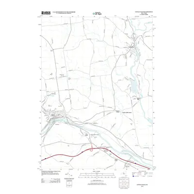 2013 Little Falls2013 Print · USGSThe Mohawk River valley and Erie Canal corridor in central New York are shown here during a period of modern stability. Researchers can trace historic family burial sites like Fink-Van Valkenburg Cem and landmarks such as the Herkimer Monument.
 - 2016 Map of Little Falls, 2016 Print
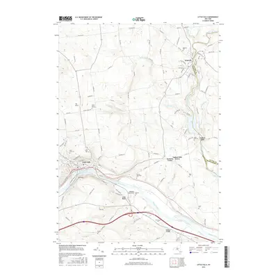 2016 Little Falls2016 Print · USGSHerkimer County's industrial and canal heritage is on full display in the mid-2010s. Researchers can trace historic family burial sites like Fink-Van Valkenburg Cem and Gardner Cem or explore the canal-side history of Fink Basin and Indian Castle.
 - 2019 Map of Little Falls, 2019 Print
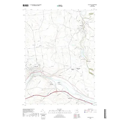 2019 Little Falls2019 Print · USGSHerkimer County's industrial and canal history is preserved here along the Mohawk River and East Canada Creek in the late 2010s. Genealogists can trace family locations at the Herkimer Homestead Cem, Yellow Church Cem, and the riverfront settlement of Fink Basin.
 - 2023 Map of Little Falls, 2023 Print
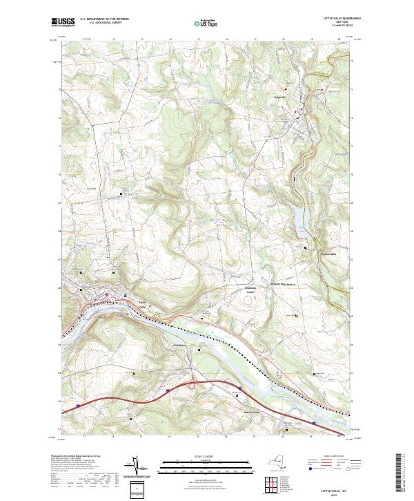 2023 Little Falls2023 Print · USGSLittle Falls and the Mohawk River valley appear here in modern detail, illustrating centuries of New York transportation history. Genealogists can trace family names at the Herkimer Homestead, Yellow Church, and Rural Park Cem.
End of results
Showing maps 1-18 of 18
Top cities near Fink Basin
- German Flatts historical maps
- Herkimer historical maps
- Ilion historical maps
- Herkimer historical maps
- Frankfort historical maps
- Little Falls historical maps
See more
Frequently asked questions
- What are the different types of historical maps available for Fink Basin?
- What is the oldest map of Fink Basin?
- Where can I purchase historical maps of Fink Basin for my home or office?
- Where can I download high-res historical maps of Fink Basin?
- Are there historical topographic maps available for Fink Basin?
- Is there historical aerial imagery available for Fink Basin?
- Where are historical maps of Fink Basin sourced from?